Bagby Hot Springs, Oregon
Top Spots in and near Bagby Hot Springs
-
Cascade Locks, Oregon
4.3
5.11 mi
/ 2162 ft gain
The Multnomah-Wahkeena loop is a classic hike in the Columbia Gorge. Few hikes take you by as many waterfalls, and the tree cover makes it a great hike in the rain.
Starting at the Multnomah Falls Parking Area, head to the main viewing area of Multnomah Falls. If you get there early in the morn...
Read more
-
Cascade Locks, Oregon
4.0
13.28 mi
/ 4629 ft gain
Done as a loop or one way shuttle (in summer/fall), the full Larch Mountain experience starts at the large (but still always full) Multnomah Falls parking lot. There you'll have the chance to grab a final snack, use the restroom, and fill water bottles before joining all the "tourist" hikers on t...
Read more
-
Cascade Locks, Oregon
You can get on the trail in about 45 minutes from Portland and 35 minutes from Hood River via I-84.
Once you get out of your car in the Multnomah Falls parking lot, head over to the historic Multnomah Falls Lodge. This is a neat place to check out after your hike. Then, follow the crowds to the ...
Read more
-
Multnomah County, Oregon
4.2
2.61 mi
/ 1214 ft gain
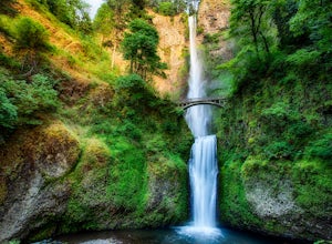
Multnomah Falls is worth a quick stop anytime you're visiting the Columbia River Gorge National Scenic Area in Oregon. This waterfall is the tallest in Oregon at 620 feet and the third largest in the Pacific Northwest behind Bridal Veil Falls (1,289 feet) and Green Lake Falls (979 feet) and has a...
Read more
-
Portland, Oregon
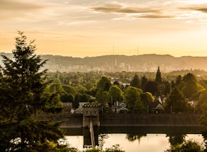
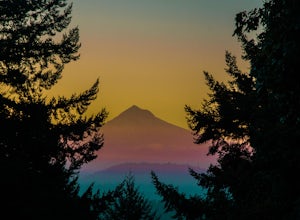
Sitting 400 feet above the city with views of Mt. Hood and Portland doesn't sound to bad right?? Mount Tabor is located in Southeast Portland and is a once active volcano. There are 196 acres of park for you to explore.
In order to photograph the best pictures of Mt. Hood I highly suggest gettin...
Read more
-
Linn County, Oregon
5.0
3.56 mi
/ 253 ft gain
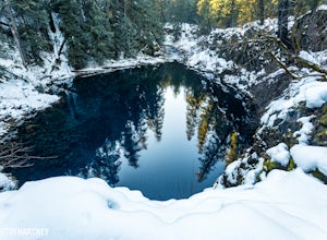
The hike out to Tamolitch Pool, or "Blue Pool," is 2 miles each way and follows the McKenzie River to a lava flow pool. Off Highway 126 14 miles east of McKenzie Bridge, turning into the Trailbridge Campground, drive right 1/3 of a mile to the trailhead. The trail is relatively flat, which gives ...
Read more
-
Portland, Oregon
4.5
1.88 mi
/ 325 ft gain
Mount Tabor City Park is located in the heart of southeast Portland and is situated atop an extinct volcano. It’s comprised of more than 190 acres of beautiful Douglas Fir forest and features several relatively easy routes to the top: the easiest being the road you can drive (but what’s the fun i...
Read more
-
Washougal, Washington
4.3
6.76 mi
/ 1795 ft gain
The Cape Horn Trail is great for those who are short on time, but still want to get outside for something close by with great views.
Located just 35 min east of Portland, the Cape Horn Trail offers a few different possibilities for you to hike. The whole loop (lower section is closed from Feb 1s...
Read more
-
Corbett, Oregon
4.5
3.4 mi
/ 1168 ft gain
Access to Triple Falls is currently closed. Learn more on the Forest Service Site.
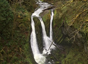
This hike, starting at the Oneonta Trailhead is a 3.2 mile roundtrip. You will gain approximately 600 feet in elevation as the trail often switches from moderate flat easy hiking to more difficult elevation gain a...
Read more
-
Camp Sherman, Oregon
4.5
3.94 mi
/ 1493 ft gain
Just outside of Sisters Oregon is the stunning and popular day hike to the summit Black Butte (Elevation 6,436 feet). At the top, spectacular views of the surrounding Cascades await the intrepid hiker.
To get to the trailhead, turn off of Highway 22 onto National Forest Road (NFR) 11, also known...
Read more
-
Cascade Locks, Oregon
4.8
0.92 mi
/ 531 ft gain
*Currently closed (except a small portion of the upper trail between Multnomah Spur and Trail #444 on Larch Mountain)...here
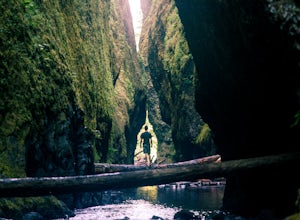
This hike is very short (1 mile roundtrip) but does take some time to do. The trail leads down from the road into a stream bed. You follow the stream bed upstream through ...
Read more
-
Cascade Locks, Oregon
4.5
2.56 mi
/ 610 ft gain
Start off on this loop from Horsetail Falls Trailhead. It never hurts to start a hike with a view of Horsetail Falls. This 2.5 mile loop will start you off on Gorge trail #400 up Horsetail Falls Trail. You’ll encounter a few switchbacks before the trail flattens out and leads you into the valley ...
Read more
-
Cascade Locks, Oregon
4.6
0.85 mi
/ 463 ft gain
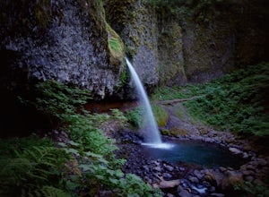
Ponytail Falls is an easy 0.8 mile hike located in the gorge that begins at Horsetail Falls. After hiking up mild switchbacks, continue to your right at the first trailhead intersection. The path levels out before coming around the mountain and opening up to the waterfall.
This is the easiest wa...
Read more
-
Portland, Oregon
Starting at OMSI, walk towards the Hawthorne bridge, and away from the Tillicum bridge. After about a tenth of a mile, you will see a dock and the Hawthorne bridge. Walk down on the dock, or take pictures from above. For added adventure, walk under the Hawthorne bridge and take pictures from the ...
Read more
-
Portland, Oregon
Joseph Wood Hill Park is another under-the-radar gem right in the heart of the city. It’s located on Rocky Butte, an extinct volcanic cylinder cone, and provides a sweeping panoramic view of Portland and beyond. Accessing the park is easy – you can drive directly there and parking is plentiful.
...
Read more
-
Deschutes County, Oregon
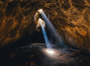
The hardest part about getting to Skylight Cave is the drive. Start by coming from Sisters, Oregon, and use the driving directions below to find it. The Google Maps pin is accurate, and if you like coordinates, you can use 44°20'55.3"N 121°42'55.9"W as well.
It's recommended you download an offl...
Read more

