Bagby Hot Springs, Oregon
Top Spots in and near Bagby Hot Springs
-
Stevenson, Washington
3.6
1.49 mi
/ 351 ft gain
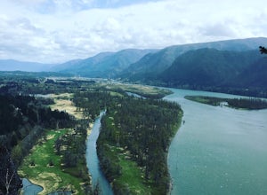
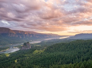
Beacon Rock is one of the most recognizable landmarks along the Columbia River Gorge. It’s an 848-foot basalt monolith (a singular piece of rock) that was once the core of an ancient volcano. To access the rock, park in a developed parking area at the rock’s base that has room for about 30 cars. ...
Read more
-
Portland, Oregon
Pittock Mansion offers a one of kind view of downtown Portland. This is a historic site that allows public access throughout the day and night. Parking is available at Pittock until 9pm but if you wish to visit the grounds after hours you can park at the bottom of the driveway, walk around the ga...
Read more
-
Stevenson, Washington
4.2
5.61 mi
/ 2336 ft gain
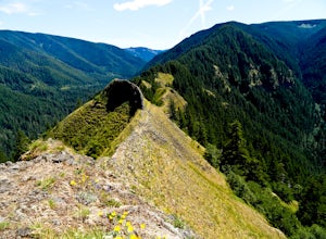
Hamilton Mountain has one of the best views in the Columbia Gorge. The hike starts out with a gradual uphill climb through an old-growth forest. After about a half-mile in you will come to a clearing where you can see the ridge line going up to the top of Hamilton Mountain. From there you'll pass...
Read more
-
Stevenson, Washington
4.0
2.17 mi
/ 699 ft gain
Located along the Hamilton Mountain Trail, the Hardy and Rodney falls out and back hike is a good alternative for those looking for a shorter hike compared to the 7.6-mile hike to the top of Hamilton Mountain.
From the Hamilton Mountain Trailhead, you will follow the trail through thick trees fo...
Read more
-
7444-7498 Southwest 160th Avenue, Oregon
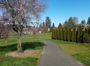
Technically this trail stretches from the Tualatin Hills Nature Park, down through the west Beaverton/ Sexton Mountain area and can comfortably get you to Barrow’s park near Big Al’s. The trail from end to end comes in at just over 8 miles, so a down and back by bike can make for a good workout a...
Read more
-
Portland, Oregon
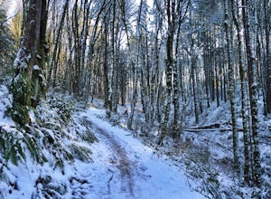
Lower Macleay Park is one of most easily accessible trailheads in the city, especially during one of Portland’s rare snow years where even driving up to 500 feet of elevation can challenge your car. You can park within the park entrance cul-de-sac, around the intersection of Upshur St. & NW 2...
Read more
-
Cascade Locks, Oregon
4.7
1.74 mi
/ 410 ft gain
This is a very short and fairly easy, 1 mile in – 1 mile out, hike with a little bit of elevation gain. I took my time hiking and enjoying the scenery with the intention of this being a photo heavy trip. When I got to the end I spent at least an hour shooting from every angle I saw fit. Once you ...
Read more
-
Cascade Locks, Oregon
4.9
4.12 mi
/ 1870 ft gain
This trail is temporarily closed. Please visit the Forest Service website for updates to trails in the Columbia River Gorge.
This hike starts at the Wahclella Falls trailhead, but does not use that trail. Instead, walk back towards the freeway and take a left onto the Columbia River Highway Tr...
Read more
-
Cascade Locks, Oregon
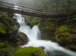
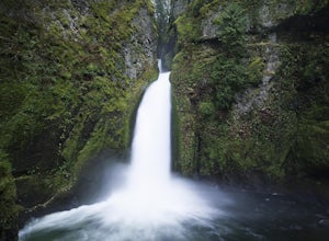
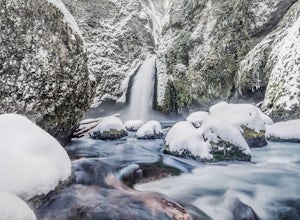
The wooden bridges, Munra Falls, beautiful canyon walls, and the mossy grotto at the end of the canyon itself would be enough of a draw for this hike, but you round the last corner and 65 foot Wahclella Falls comes in full view.The big snow covered river rocks looked like giant marshmallows, and ...
Read more
-
Deschutes County, Oregon
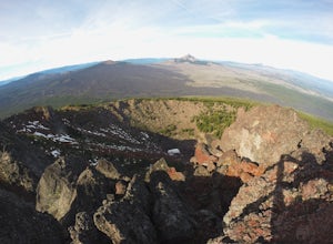
The Black Crater Trailhead parking lot is accessed off the McKenzie Pass (Hwy 242). The trailhead starting elevation is 5,040ft. (using the iPhone app "Topo Maps". Great app) with a 3.8 Mile hike one way to the Black Crater Summit at 7,251ft of elevation. Some parts of the trail are steep and g...
Read more
-
Portland, Oregon
4.7
11.47 mi
/ 1608 ft gain
Leif Erikson Drive is a wide dirt road running through the heart of Forest Park that is closed to motorized vehicles…making it a magnet for those looking to add some relatively easy and scenic distance to their workouts.
The road itself is nicely graded and well maintained. It has relatively goo...
Read more
-
Cascade Locks, Oregon
4.4
11.87 mi
/ 2874 ft gain
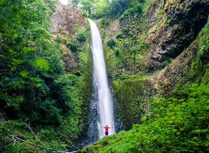
This hike begins at the Eagle Creek Trailhead. This is the same trailhead that goes to popular Punchbowl Falls. The trail to reach Tunnel Falls is 12 miles roundtrip on an out and back trail. If you continue another 0.5 miles on the trail after Tunnel Falls you will reach Twister Falls. The hike ...
Read more

