Astoria, Oregon
Looking for the best photography in Astoria? We've got you covered with the top trails, trips, hiking, backpacking, camping and more around Astoria. The detailed guides, photos, and reviews are all submitted by the Outbound community.
Top Photography Spots in and near Astoria
-
Oysterville, Washington
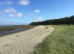
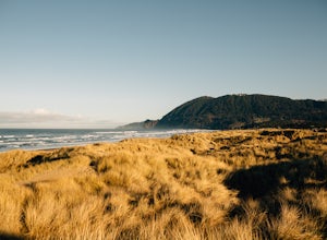
Hike Leadbetter Point State Park
7 miLocated off the beaten path at the northern end of the Long Beach Peninsula, Leadbetter Point State Park is great year around destination to explore in Southwest Washington. Within the park there is ample opportunity to watch huge Pacific Ocean waves crash on shore, beach comb, bird watch, and sp...Read more -
Nehalem, Oregon
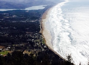
Neahkahnie Mountain via South Trailhead
5.02.92 mi / 860 ft gainYou have a couple different options on how to access this hike (North and South trailhead) also if you would like to hike the loop trail or out-and-back option. Driving directions for this hike isn't to difficult, heading south on highway 101 drive 16.6 miles past the exists for Cannon Beach and ...Read more -
Nehalem, Oregon
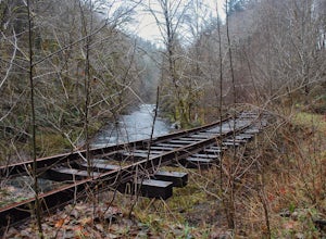
Hike the Salmonberry Train Track Trail
4.010 mi / 275 ft gainBeware, there is no actual trailhead! This trail (Lower Salmonberry River Hike) starts on Lower Nehalem Rd (Foss Rd) where the Salmonberry River and the Nehalem River meet. Before you cross the tracks, find parking there (but be aware of private property) and follow the train tracks into the fore...Read more -
Clatskanie, Oregon
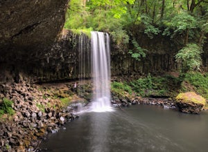
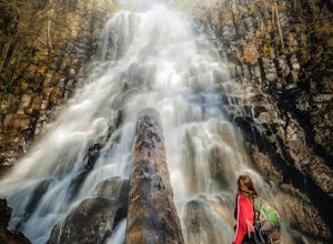
Beaver Falls Trail
3.00.58 mi / 0 ft gain…Beaver Falls is one of those spots where if you’re looking to avoid the crowd of the Columbia River Gorge, this is another good alternative on where you could go. Not only is that a huge plus, but it’s not often you get to experience a scenic waterfall that you don’t have to put in a ton of effo...Read more -
Manzanita, Oregon
Camp at Nehalem Bay State Park
5.0Nehalem Bay State Park is a great central location on the Oregon Coast to use as a base camp, whether you want to go south to explore Cape Kiwanda or go north to photograph the famous Cannon Beach. There are six loops: A-F, and only A-C are open in the winter. The only first-come-first-served are...Read more -
Longview, Washington
Fall Creek Falls (aka Stella Falls)
4.0From Interstate 5 in Kelso, exit onto Highway 4 and follow it west towards Cathlamet and Long Beach for about 11.3 miles. A quarter mile east of the town of Stella is Fall Creek, with Fall Creek Falls, or Stella Falls as it is sometimes called, visible from the highway. Watch for the falls throug...Read more -
Timber, Oregon
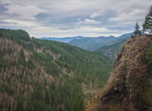
Hike the Upper Salmonberry River Trail
4.112.5 mi / 1600 ft gainIf you are craving adventure and exploration in a unique hiking setting, then you have come to the right place! This is a hike where every time you turn a corner your eyes light up with excitement and your imagination runs wild. Be forewarned though…if you fear cold, dark, and creepy abandoned tr...Read more -
Rockaway Beach, Oregon
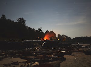
Capture the Coast at Night from Rockaway
5.0Clear nights on the Oregon Coast can be hard to come by, and your best bet to grab night time photos of the coast is in the Summer.This particular section of the coast is relatively quiet in the Summer time. You can park your car easily along the road that gives you access to the beach. This is a...Read more -
Tillamook, Oregon
Wilson River Trail
3.018.58 mi / 4879 ft gainThis long trail provides hikers with great views of the corridor in the Coast Range. As the trail follows public land for the most part, there are a couple sections with steady elevation gains to avoid private land: near Lees Camp and Ryan Creek. Although the trail receives some of the most rain...Read more -
Tillamook, Oregon
King's Mountain
4.54.47 mi / 2461 ft gainKing's Mountain may be one of the most consistent hikes in the greater Portland area gaining 2,500 vertical-feet over 2.5 miles almost evenly the entire time. The trail starts out at a marked trailhead just west of the Elk Mountain campground (stop there for water and more restrooms in summer &a...Read more -
Gaston, Oregon
University Falls
4.00.61 mi / 138 ft gainThe 0.3 mile hike to University Falls seems longer than it is because you'll be stopping to take pictures every step of the way. No, you're not in an enchanted forest, you're in the Tillamook National Forest. The waterfall you're about to find, however, certainly is enchanting. From Portland, he...Read more -
Tillamook, Oregon
Explore Bayocean Peninsula Park
5.08 mi / 100 ft gainLocated just west of Tillamook on the way to Cape Meares is an expansive forested park that juts out into Tillamook Bay. The main "trail" is an old unpaved narrow road called Bayocean Dike Road that stretches 4 miles down to the point. It's perfect for a long run, leisurely hike or mountain bikin...Read more -
Tillamook, Oregon
Cape Meares Lighthouse
4.3This historic site served as a major lighthouse for years and was turned into a scenic viewpoint offering some rad views of the Oregon Coast. The park is located only about 10 miles west of Tillamook. The parking lot has limited space so get there as early as you can. The Cape Meares lighthous...Read more -
Tillamook, Oregon
Hike along Short Beach, Oregon
5.00.25 mi / 200 ft gainHike: The trail is basically a handmade wooden staircase that takes you all the way down to the beach, so once you locate it, just keep following the stairs all the way down until you've reached the beach.Directions: Drive North along Cape Meares Loop Rd just past Oceanside until you reach the po...Read more

