Oregon
Start at the coast, hit up breweries and food trucks in Portland, explore hundreds of waterfalls in the Columbia River Gorge, ski or snowboard year-round on Mt. Hood and continue on to the Alvord Desert. Even with all of this adventure, you'll just be scratching the surface of what Oregon has to offer.
Top Spots in and near Oregon
-
Cascade Locks, Oregon
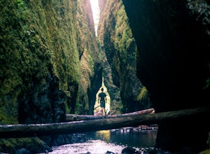
Oneonta Gorge
4.80.92 mi / 531 ft gain*Currently closed (except a small portion of the upper trail between Multnomah Spur and Trail #444 on Larch Mountain)...here This hike is very short (1 mile roundtrip) but does take some time to do. The trail leads down from the road into a stream bed. You follow the stream bed upstream through ...Read more -
Corbett, Oregon
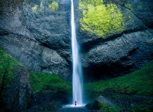
Latourell Falls Loop
4.72.02 mi / 820 ft gainLatourell Falls is a beautiful and unique waterfall in the Columbia River Gorge in Oregon. This amazing waterfall is just a few hundred yards from the road and parking lot. Once you park, there is a viewpoint for the falls that is straight ahead. The view from there isn't that great compared to ...Read more -
Multnomah County, Oregon
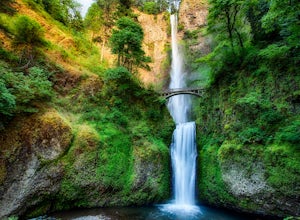
Multnomah Falls
4.22.61 mi / 1214 ft gainMultnomah Falls is worth a quick stop anytime you're visiting the Columbia River Gorge National Scenic Area in Oregon. This waterfall is the tallest in Oregon at 620 feet and the third largest in the Pacific Northwest behind Bridal Veil Falls (1,289 feet) and Green Lake Falls (979 feet) and has a...Read more -
Cascade Locks, Oregon
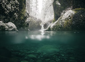
Metlako & Punchbowl Falls
4.75.46 mi / 1030 ft gainNote: The overlook at Metlako Falls is closed. Find out more info here. This is a fairly short hike. 2 miles in to Punchbowl Falls (past Metlako Falls) and then 2 miles out. I’ve done it in all sorts of conditions from 95 degree sunny summer days to a trip in a deep freeze where I got in my wets...Read more -
Clackamas County, Oregon
Bagby Hot Springs
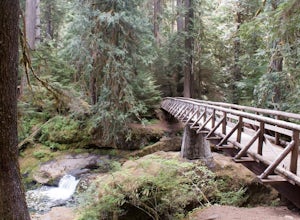
4.32.91 mi / 397 ft gainBagby Hot Springs is actually a set of amazing bathhouses nestled in the forest outside of Estacada. They are one of Oregon’s most poplar hot springs, and for good reason. The hike into the hot springs is easy and quite scenic. You’ll cross a bridge over Nohorn Creek and follow the Hot Springs Fo...Read more -
Scotts Mills, Oregon
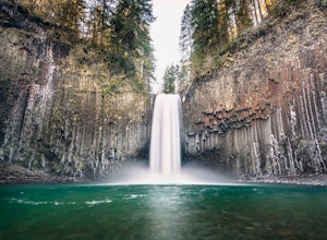
Abiqua Falls
4.90.69 mi / 115 ft gainThis trail is unmarked and a little rough and rugged. The land is privately owned by Mount Angel Abbey, but they don't appear to have problems with courteous hikers. Walking out of the parking area back up the road in the direction you came from, you’ll pass one dirt trail right at the ending of ...Read more -
Portland, Oregon
Wildwood Trail in Washington Park
5.07.63 mi / 1503 ft gainTake the train to Washington Park and hike through Hoyt Arboretum. This will bypass a few miles of Wildwood Trail, but you won't miss much. In the arboretum, the trail twists and turns through the trees, will smaller trails jutting off to the sides, through other groups of trees (each trail is a...Read more -
Drake Crossing, Oregon
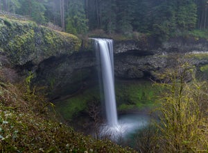
Trail of Ten Falls Loop
4.77.16 mi / 1178 ft gainThe unique feature of South Falls, Lower South Falls, and Middle North Falls are the paths that pass behind the falls providing an amazing visual and auditory experience; however, be sure to have a good bag for your equipment to avoid water damage and a decent jacket (preferably water-resistant)....Read more -
Corbett, Oregon
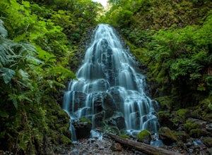
Fairy Falls
4.82.02 mi / 1293 ft gainFairy Falls sits in the heart of the Columbia River Gorge, not much more than a mile from the Wahkeena Trailhead. The parking lot is right off the Old Columbia River Highway and will be packed with cars in the summer. Head up the trail towards Wahkeena Falls, which is not far up the hill. This f...Read more -
Corbett, Oregon
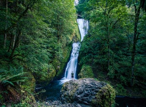
Bridal Veil Falls
4.10.54 mi / 144 ft gainThe trailhead for this short hike is right off of the Columbia River Highway just west of Multnomah Falls. You can't miss the parking lot for it; there is a sign for Bridal Veil and the parking lot is visible from the road. The hike is only 0.6 miles and has hardly any elevation gain (70 feet). ...Read more -
Gates, Oregon
Opal Creek Pools Loop
4.66.6 mi / 663 ft gainNote: this trail is closed due to fire damage. For more updates, please visit the Forest Service website. The Opal Creek pools are a wonderful place to visit year-round, but they’re a true oasis on a hot summer day. With a variety of rock outcroppings and ledges to jump off of, and plenty of ro...Read more -
Klamath County, Oregon
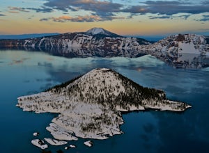
The Rim at Crater Lake NP
4.330.99 mi / 4124 ft gainWhy Go? Avoid the crowds in summer and have the entire 33 mile long rim and 21 square miles of beautiful Crater Lake to yourself. Sunrises and sunsets that will take your breath away; stars and a milky way you can get lost in for days. Expect solitude and beautiful scenery, nothing less. The 360 ...Read more -
Clearwater, Oregon
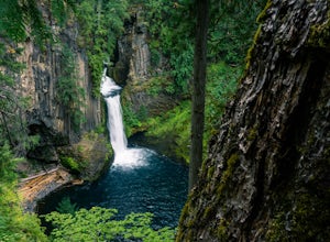
Toketee Falls
4.60.79 mi / 98 ft gainToketee Falls is one of the most famous waterfalls in all of Oregon, renowned for the graceful columnar basalt formation framing the two-stepped falls. The North Umpqua River has carved a sinuous gorge out of the lava flow, resulting in a waterfall of 113 feet in height - a 28 foot upper tier whi...Read more -
Bend, Oregon
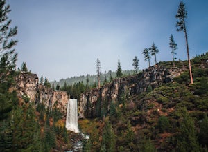
Tumalo Falls
4.40.42 mi / 62 ft gainThe viewpoint is only footsteps from the parking area, and gives the best view of the 89-foot falls. A half mile trail leads visitors up to the upper viewpoint, right next to the falls. From there, Middle Tumalo Falls is around one and a quarter miles up the trail and Happy Valley is around three...Read more -
Cascade Locks, Oregon
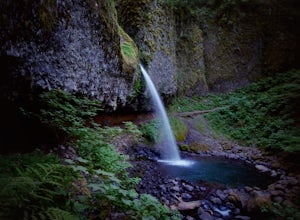
Ponytail Falls
4.60.85 mi / 463 ft gainPonytail Falls is an easy 0.8 mile hike located in the gorge that begins at Horsetail Falls. After hiking up mild switchbacks, continue to your right at the first trailhead intersection. The path levels out before coming around the mountain and opening up to the waterfall. This is the easiest wa...Read more -
Linn County, Oregon
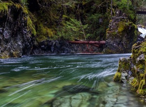
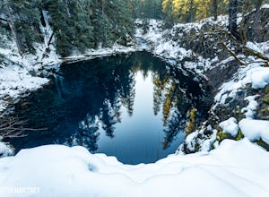
Tamolitch Blue Pool
5.03.56 mi / 253 ft gainThe hike out to Tamolitch Pool, or "Blue Pool," is 2 miles each way and follows the McKenzie River to a lava flow pool. Off Highway 126 14 miles east of McKenzie Bridge, turning into the Trailbridge Campground, drive right 1/3 of a mile to the trailhead. The trail is relatively flat, which gives ...Read more
Top Activities
Top Places
- Portland
- Bend
- Cascade Locks
- Deschutes County
- Sisters
- Lane County
- Brookings
- Crescent
- Mount Hood
- Corvallis
- Government Camp
- Deschutes
- Joseph
- Tillamook
- Eugene
- Princeton
- Crater Lake
- Clackamas County
- Coos Bay
- Klamath County
- Klamath Falls
- Terrebonne
- Ashland
- Corbett
- Detroit
- Florence
- Gold Beach
- La Pine
- Nehalem
- Port Orford
- Prospect
Camping and Lodging in Oregon
Douglas County, Oregon
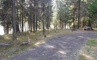
Bunker Hill Campground
Overview
This campground clings to the northwest shore of Lemolo Lake beneath the heavily wooded Bunker Hill. Bald eagles often soar abov...
CKENZIE BRIDGE, Oregon
Roaring River (Group)
Overview
Campers at Roaring River Group Campground enjoy the soothing sounds of the aptly named Roaring River flowing past their campsite...
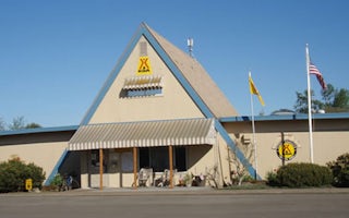
Albany, Oregon
Albany / Corvallis KOA Journey
At Albany/Corvallis KOA, you'll have easy access to area attractions. Visit the many wineries in Linn and Benton counties. You're within ...
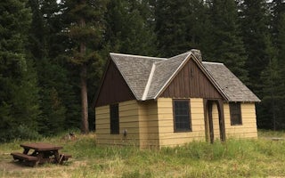
Elgin, Oregon
Fry Meadows Guard Station
Overview
Fry Meadows Guard Station offers the peaceful solitude of a remote nature-lover's paradise just south of the Wenaha-Tucannon Wil...
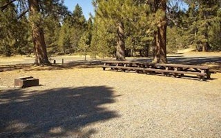
La Pine, Oregon
Ogden Group
Overview
Ogden Group campground is located in the high desert region of central Oregon, on the scenic Paulina Creek. The campground is su...
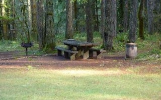
Dorena, Oregon
Rujada Day Use Picnic Area
Overview
Rujada Day Use Picnic Area is set along the banks of Layng Creek, with a large, open grassy area amidst a scattering of Douglas ...

