Rockbridge, Ohio
Looking for the best running in Rockbridge? We've got you covered with the top trails, trips, hiking, backpacking, camping and more around Rockbridge. The detailed guides, photos, and reviews are all submitted by the Outbound community.
Top Running Spots in and near Rockbridge
-
Logan, Ohio
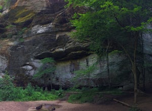
Old Man's Cave and Ash Cave via Buckeye Trail
9.42 mi / 1060 ft gainOld Man's Cave and Ash Cave via Buckeye Trail is an out-and-back trail that takes to two scenic caves in Hocking Hills State Park located near South Bloomingville, Ohio. This trail is dog friendly on-leash.Read more -
South Bloomingville, Ohio
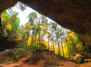
Explore Ash Cave
5.00.5 miGetting to Ash Cave is extremely easy with a short quarter-mile hike from the parking area; there's also a rim trail above the cave that adds 90 feet of elevation and some extra distance. The cave is great for relaxing in the shade during a hot day, enjoying a spring picnic, or grabbing some imag...Read more -
New Plymouth, Ohio
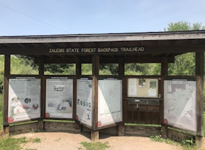
Zaleski Extended Loop
5.016.5 mi / 2231 ft gainZaleski Extended Loop is a loop trail where you may see beautiful wildflowers located near Mc Arthur, Ohio.Read more -
Chillicothe, Ohio
Hike the Shawnee Ridge Trail
10 miStarting at the northern parking lot, head south along the Shawnee Ridge Trail. Several spur and loop trails intersect the trail along the 10 mile out-and-back hike. Many of these spur trails include difficult hikes up large hills like Sugarloaf Mountain, Sand Hill, and Mt. Ives. At each trail in...Read more -
Grove City, Ohio
Hike through Scioto Grove Metro Park
4.07 miNew in May 2016, the Scioto Grove Metro Park has about 600 acres of land in Grove City, OH. There are more than 7 total miles of connecting trails as well as picnic areas and jungle gyms.Easy to navigate, there are park maps at all major trail junctions, which makes this hike enjoyable for all. ...Read more -
Heath, Ohio
Blackhand Trail
8.6 miBoth the eastern and western trailhead have ample parking and access to the Blackhand Trail, which winds its way along the banks of the Licking River for a 4.3 mile one way trip. While the trail isn't terribly long, it makes up for it in its scenery, staying within eyesight of the Licking River...Read more -
Columbus, Ohio
Blendon Woods Loop
1.97 mi / 112 ft gainBlendon Woods Loop is a loop trail that takes you through a nice forest located near Columbus, Ohio.Read more -
Westerville, Ohio
Hike the Overlook-Hickory Ridge-Brookside Trail
4.01.6 miThis gravel woods path at Blendon Woods Metropark, just over 1.5 miles, is perfect for a quick hike when visiting the city! You may be close to Ohio's capitol city, but you feel far away in the woods of this park. Come into the main entrance and turn right at the Ranger Station. Park near the n...Read more -
Galloway, Ohio
Hike the Darby Creek Greenway
9.6 mi / 50 ft gainStarting your hike from the Cedar Ridge Picnic Area, head north along the Darby Creek Greenway, a well-maintained gravel path that is a multi-use trail alongside cyclists and trail runners. The trail switches between a number of different settings during the 4.7 mile one-way trek, including fores...Read more -
Lewis Center, Ohio
Hike the Overlook-Dripping Rock Loop
5.04.8 mi / 100 ft gainStarting at the nature center near the entrance of the park, the 2.5 mile long Dripping Rock Trail heads off in two directions, to the south and to the west. Either way will take you back to the nature center at the end of the day. Going west takes you past an observation deck and then along a de...Read more

