Buckeye Lake, Ohio
Top Spots in and near Buckeye Lake
-
Logan, Ohio
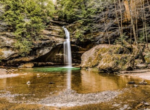
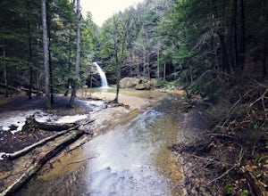
Lower Falls Loop via Buckeye Trail
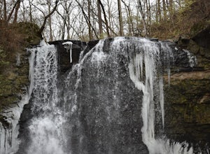
1.22 mi / 171 ft gainThis 1.2-mile trail has minimal elevation gain and leads to Lower Falls. This waterfall flows the most in the spring, especially after a snowy winter, and can dry up around July during dry summers. What's the trail like?The loop has a one-way path, making it easier for people to get in and out. ...Read more -
Logan, Ohio
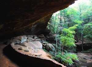
Old Man's Cave and Ash Cave via Buckeye Trail
9.42 mi / 1060 ft gainOld Man's Cave and Ash Cave via Buckeye Trail is an out-and-back trail that takes to two scenic caves in Hocking Hills State Park located near South Bloomingville, Ohio. This trail is dog friendly on-leash.Read more -
Logan, Ohio
Hike & Camp in Hocking Hills, Ohio
4.93 miIf you find yourself in Ohio, you must stop in Logan and visit the Hocking Hills. This place seems to consistently find itself on lists for the best hiking in the country - and for good reason. The forest and state park is vast, and it includes Old Man's Cave, Ash Cave, Cedar Falls, Rock House, t...Read more -
Logan, Ohio
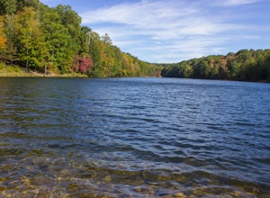
Hike to Rose Lake
5.03 mi / 150 ft gainStarting at the main parking lot for Old Man's Cave and the Hocking Hills, follow the Gorge Overlook Trail from the Visitor's Center, staying on top of the rim. About 0.1 mile from the Visitor Center, you'll cross over the gorge on a large trussed bridge. Once across, follow the signs that direct...Read more -
Logan, Ohio
Old Man's Cave Loop
4.50.63 mi / 102 ft gainTake the Rim Trail in Hocking Hills State Park, which descends into the deep gorge and takes you alongside a stream as you head towards a number of cascades and interesting rock faces. Rim Trail can be linked to Cedar Falls, as well, or from the Upper Falls you can take Grandma Gatewood Trail fo...Read more -
Dublin, Ohio
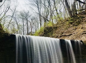
Photograph Hayden Run Falls
2.0A great evening getaway while in Columbus, Hayden Run Falls is easy to access. The path to the falls is a well-maintained boardwalk above the floodplain of the Scioto River, just a little over a 0.1 mile in length. The boardwalk takes you right up to the very foot of the 35 foot tall waterfall, a...Read more -
Logan, Ohio
Hike to Whispering Cave
1.7 mi / 480 ft gainThe trailhead begins at the base of the parking lot of the old Hocking Hills Lodge that sadly burnt down in 2016. While plans are underway for a new lodge to be built, it means parking for this particular trail is plentiful for the moment, since the massive parking lot is only being used for the ...Read more -
Logan, Ohio
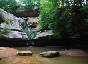
Cedar Falls
4.30.38 mi / 56 ft gainLocated on Queer Creek in Hocking Hills State Park, the popular 50 ft-Cedar Falls still tends to be less crowded than Old Man's Cave. There are scenic views to be had year-round off of the stream-lined path, starting from the lower parking lot off of SR 374. For quicker access to the falls, star...Read more -
Dublin, Ohio
Photograph Indian Run Falls
4.01 miIndian Run Falls is a family friendly destination for the metro lifestyle. Sitting just outside downtown Dublin, the falls are easily accessible from the nearby parking lot, with the roar of the fall audible as soon as you get out of your car. For those seeking a hike, there is a 1/2 mile trail t...Read more -
Spindler Road Starting Point, Ohio
Hike the Mudsock Trail
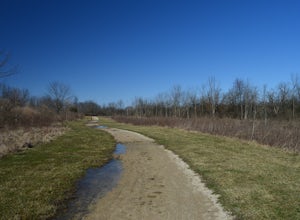
4.01.5 mi / 0 ft gainThis trail begins at a dog park and meanders alongside farm fields and creeks. Stay to the right at the first fork to begin the Mudsock Trail. The second fork in the trail results in a loop that meets up with itself and continues on. Depending on the amount of plant growth/season, there is a trai...Read more -
South Bloomingville, Ohio
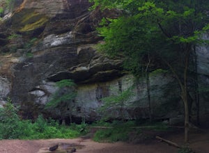
Explore Ash Cave
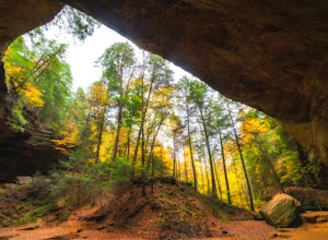
5.00.5 miGetting to Ash Cave is extremely easy with a short quarter-mile hike from the parking area; there's also a rim trail above the cave that adds 90 feet of elevation and some extra distance. The cave is great for relaxing in the shade during a hot day, enjoying a spring picnic, or grabbing some imag...Read more -
Galloway, Ohio
Hike the Darby Creek Greenway
9.6 mi / 50 ft gainStarting your hike from the Cedar Ridge Picnic Area, head north along the Darby Creek Greenway, a well-maintained gravel path that is a multi-use trail alongside cyclists and trail runners. The trail switches between a number of different settings during the 4.7 mile one-way trek, including fores...Read more -
Plain City, Ohio
Conquer the Glacier Ridge Challenge Course
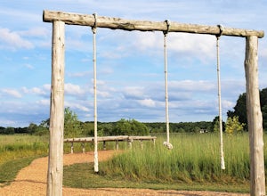
0.25 miThis quarter mile course is perfect for those looking for athletic competition, fun challenges, or ninja training. It is located adjacent to the parking lots in the main area of Glacier Ridge Metro Park, so there will always be plenty of parking for your group. There are water fountains at the be...Read more -
Plain City, Ohio
Run the Ironweed Trail in Glacier Ridge Metro Park
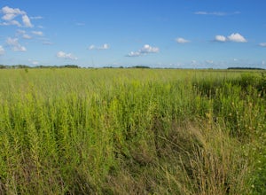
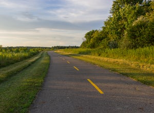
4.02.8 miFrom the main entrance on the north side of the park, the Ironweed Trail connects the northern, more wooded section of the park with the wetlands to the south. This 2.8 mile one-way trail is paved, making cycling, running, and hiking an easy activity. The topography of the park also makes it easy...Read more -
West Jefferson, Ohio
Fly Fish Big Darby Creek at Prairie Oaks Metro Park
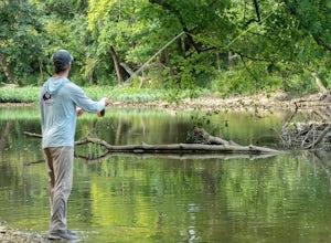
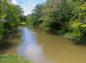
The Big Darby Creek is just one of four National Scenic Rivers in Ohio. Exploring and fly fishing for smallmouth bass, rock bass, or panfish is just one way for you to experience the river near the Prairie Oaks Metro Park. Located within a thirty-minute drive from downtown Columbus, the Prairie O...Read more -
West Jefferson, Ohio
Hike the Darby Creek Trail
4.02.6 mi / 30 ft gainParking at the Whispering Oaks Picnic Area on the west side of the park, start on the Darby Greenway Trail and follow it north across the river until you reach the beginning of the Lake View Trail. This 0.9 mile trail takes you along the largest of the Darby Bend Lakes, and even takes you past a ...Read more

