Bolivar, Ohio
Top Spots in and near Bolivar
-
Massillon, Ohio
Sippo Valley Trail
9.64 mi / 361 ft gainSippo Valley Trail is a point-to-point trail where you may see beautiful wildflowers located near Massillon, Ohio.Read more -
Salem, Ohio
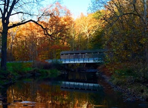
Explore the Teegarden-Centennial Covered Bridge
3.03 miHistory behind Teegarden-Centennial Covered Bridge: Teegarden-Centennial Covered Bridge was built in 1876. It was in use until 1992 and then later restored in 2003. There are over 125 historic wooden covered bridges in Ohio, and Teegarden Covered Bridge was proudly added to the National Register ...Read more -
Peninsula, Ohio
Towpath Trail via Oak Hill Road
4.03.29 mi / 259 ft gainThe trail starts just south of Indigo Lake along the Towpath Trail near Akron. Head north on the cinder towpath towards Indigo Lake and past the beaver marsh all along the Cuyahoga River. The trail is heavily wooded but runs along the winding road and bike lane that goes through the park, every s...Read more -
Peninsula, Ohio
Wetmore Outer Loop
5.06.32 mi / 673 ft gainWetmore Outer Loop is a loop trail where you may see beautiful wildflowers located near Peninsula, Ohio.Read more -
Peninsula, Ohio
Cross Country Trail from Kendall Lake
2.71 mi / 325 ft gainCross Country Trail from Kendall Lake is a loop trail that takes you through a nice forest located near Brecksville, Ohio.Read more -
Peninsula, Ohio
Kendall Lake Loop Trail and Salt Run Trail
5.04.27 mi / 597 ft gainKendall Lake Loop Trail and Salt Run Trail is a loop trail that takes you by a lake located near Peninsula, Ohio.Read more -
Peninsula, Ohio
Ledges Trail
4.82.34 mi / 210 ft gainDrive and park in the area shown on the map. If you are in the parking lot near a big open field, you made it to the right place. There are two ways to take the trail from here, south or north. I suggest that you go North first (towards the shelter area). Follow this trail into the woods and ...Read more -
Peninsula, Ohio
Plateau Trail
5.04.56 mi / 607 ft gainPlateau Trail is a loop trail that takes you by a waterfall located near Peninsula, Ohio.Read more -
Peninsula, Ohio
Buckeye Towpath Loop
7.77 mi / 860 ft gainPlan to park at the Boston Store Visitor Center. From here, head west on W Boston Mill Road, where you'll pick up the Buckeye Trail just after the train tracks on your left-hand side. Follow the Buckeye Trail crossing over W Boston Mill Road and heading north toward Blue Hen Falls. Continue nort...Read more -
Peninsula, Ohio
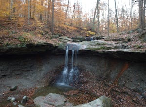
Blue Hen Falls
4.62.87 mi / 518 ft gainWithin Cuyahoga Valley National Park lies an amazing little waterfall known as Blue Hen Falls. There are few parking spots at the given address but there is an overflow lot right across the street. After parking you will descend down a semi steep hill and arrive at a bridge. Once you cross the br...Read more -
Peninsula, Ohio
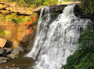
Brandywine Falls
4.53.66 mi / 600 ft gainCVNP only has one designated camping area with five sites, located behind the Stanford House. The Conservancy for CVNP runs the reservations, and they fill up quickly so plan ahead (I made my reservation about 2 months in advance, and it was the earliest I could get in). There is a parking lot at...Read more -
Northfield, Ohio
Hike up Brandywine Creek to Brandywine Falls
4.32 miYou first park in the Brandywine Falls picnic area shown there on the map. There are three ways you go can go right off the start. You want to take the trail to the left named the "Stanford Trail." The trail consists of medium to large stones that are white in color. If you see this you are o...Read more -
Perrysville, Ohio
Photograph Clear Fork Gorge
The hardest part of this adventure is finding parking, especially on a late October afternoon. There's two different observation decks to take photos of the gorge from, and both have excellent views of the overall gorge. Having grown up just up the road from Mohican State Park, "The Gorge" has al...Read more -
Perrysville, Ohio
Hike the Pleasant Hill Lyons Falls Loop
5.02.75 miTo get to this trail you can go to the Dam that is a part of Pleasant Hill Lake and there is a parking area across the street. After you start walking you reach signs that will ask where you want to go, either to the covered bridge or to the Lyons Falls.By going towards the covered bridge first y...Read more -
Howard, Ohio
Photograph Honey Run Waterfall
4.0Getting to Honey Run Falls is incredibly easy! There are two parking lots for the park, one on the west side of the road for the Honey Run Highlands, and one on the east side of the road in the forest for the falls. From the forest parking lot, follow the trail south for roughly 500 ft until you ...Read more -
Northfield, Ohio
Hike to Contour Falls
4.51 miThis hike begins at the trail-head of Cuyahoga National Park. Once arrived, you will cross a bridge overlooking the Cuyahoga River. You will take the tow-path left, and follow it under the Route 82 bridge (you will pass a manmade waterfall on your right, but still have 0.4 miles to go). You will ...Read more
Top Activities
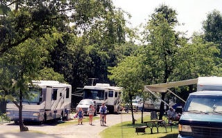
Camping and Lodging in Bolivar
East Sparta, Ohio
Canton / East Sparta KOA Holiday
Also called Bear Creek Ranch, this quiet, rural 300-acre campground has a Western flair, with guided horseback rides along wooded trails ...
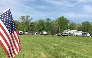
Carrollton, Ohio
Carrollton KOA Holiday
Camp amid the magic of the great outdoors. Oak Ridge Campground evokes the timeless beauty of the American frontier with deer, rabbits, a...
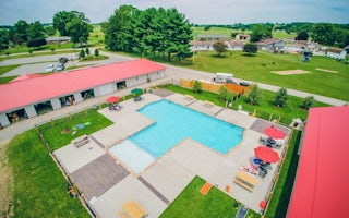
Coshocton, Ohio
Coshocton KOA Holiday
Immerse yourself in the idyllic countryside at Coshocton KOA. Your family will enjoy the brand-new swimming pool, themed weekends and gre...
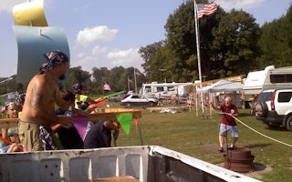
Salem, Ohio
Salem / Lisbon KOA Holiday
Campers seeking a peaceful escape to the countryside will be thrilled with this rural charmer in northeast Ohio. Salem/Lisbon KOA spreads...
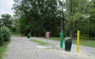
North Benton, Ohio
Mill Creek Camping
Overview
Mill Creek Recreation Area is an ideal family campground located on Berlin Lake in northeastern Ohio. Visitors enjoy boating, fi...
North Benton, Ohio
Mill Creek Day Use
Overview
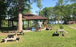
Mill Creek Day-Use Park is located on Berlin Lake in northeastern Ohio, where visitors enjoy boating, fishing, hunting, picnicki...

