Bainbridge, Ohio
Looking for the best photography in Bainbridge? We've got you covered with the top trails, trips, hiking, backpacking, camping and more around Bainbridge. The detailed guides, photos, and reviews are all submitted by the Outbound community.
Top Photography Spots in and near Bainbridge
-
Northfield, Ohio
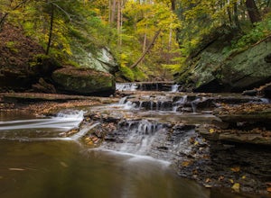
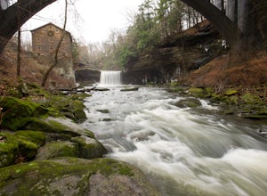
Hike up Brandywine Creek to Brandywine Falls
4.32 miYou first park in the Brandywine Falls picnic area shown there on the map. There are three ways you go can go right off the start. You want to take the trail to the left named the "Stanford Trail." The trail consists of medium to large stones that are white in color. If you see this you are o...Read more -
Northfield, Ohio
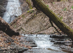
Hike to Contour Falls
4.51 miThis hike begins at the trail-head of Cuyahoga National Park. Once arrived, you will cross a bridge overlooking the Cuyahoga River. You will take the tow-path left, and follow it under the Route 82 bridge (you will pass a manmade waterfall on your right, but still have 0.4 miles to go). You will ...Read more -
Peninsula, Ohio
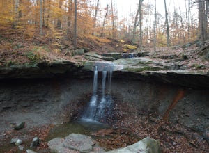
Blue Hen Falls
4.62.87 mi / 518 ft gainWithin Cuyahoga Valley National Park lies an amazing little waterfall known as Blue Hen Falls. There are few parking spots at the given address but there is an overflow lot right across the street. After parking you will descend down a semi steep hill and arrive at a bridge. Once you cross the br...Read more -
Peninsula, Ohio
Buckeye Towpath Loop
7.77 mi / 860 ft gainPlan to park at the Boston Store Visitor Center. From here, head west on W Boston Mill Road, where you'll pick up the Buckeye Trail just after the train tracks on your left-hand side. Follow the Buckeye Trail crossing over W Boston Mill Road and heading north toward Blue Hen Falls. Continue nort...Read more -
Peninsula, Ohio
Ledges Trail
4.82.34 mi / 210 ft gainDrive and park in the area shown on the map. If you are in the parking lot near a big open field, you made it to the right place. There are two ways to take the trail from here, south or north. I suggest that you go North first (towards the shelter area). Follow this trail into the woods and ...Read more -
Valley View, Ohio
Bike along the Cuyahoga River via Lock 39 Trailhead
5.039.57 mi / 1804 ft gainThe best way to tack the Towpath Trail along the remains of the Ohio and Erie Canal is by peddling it. Start at the Lock 39 Trailhead going south toward the Botzum Trailhead early in the morning before the crowds to ride upstream is the best way to start. Located a little over a mile East of I-77...Read more -
Cleveland, Ohio
Photograph Lake Erie at Edgewater Park
3.5Lake Erie off of Cleveland has one of the most beautiful sunsets in the Midwest! Bring your camera to Edgewater Park to capture the sun setting from land (free and easy parking), or kayak on the lake and get an encompassing view of the City at sunset.Read more -
Youngstown, Ohio
Hike the Gorge Trail Loop
5.02 miThis is a lovely 2 mile hike along Mill Creek. We parked by Lake Newport and started off on the West Gorge Trail toward the Mill. The trail itself was decent, with some rough spots, but still hike able. Make sure you go down to the Creek before you head across the covered bridge to the East Gorge...Read more -
Salem, Ohio
Explore the Teegarden-Centennial Covered Bridge
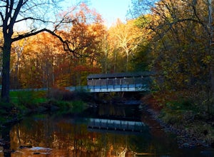
3.03 miHistory behind Teegarden-Centennial Covered Bridge: Teegarden-Centennial Covered Bridge was built in 1876. It was in use until 1992 and then later restored in 2003. There are over 125 historic wooden covered bridges in Ohio, and Teegarden Covered Bridge was proudly added to the National Register ...Read more

