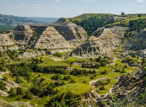
Medora, North Dakota
Looking for the best hiking in Medora? We've got you covered with the top trails, trips, hiking, backpacking, camping and more around Medora. The detailed guides, photos, and reviews are all submitted by the Outbound community.
Top Hiking Spots in and near Medora
-
Belfield, North Dakota
Hike up Buck Hill, Theodore Roosevelt NP
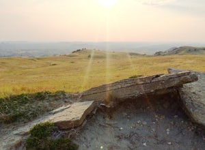
5.00.4 mi / 56 ft gainBuck Hill is a popular stop on Theodore Roosevelt National Park's Scenic Loop Road. The official trail is only a half mile round trip, but the landscape is open and it is worth spending more time in the Buck Hill area wandering around the various hills and lookouts, patching together a 360 degree...Read more -
Sentinel Butte, North Dakota
Petrified Forest Loop
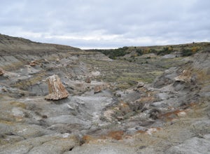
5.010.39 mi / 679 ft gainMake sure you swing by the Visitor's Center to get a map and a paper copy of directions to the trailhead as it goes through private property.The trail starts at the parking lot and heads into a wilderness area. After a few hundred feet you will pass through a gate. Make sure to sign the booklet i...Read more -
Bowman, North Dakota
Hike to White Butte
3.74 mi / 400 ft gainStanding at only 3,506 feet on a good day, White Butte in Amidon, North Dakota, isn't going to be the greatest peak you ever conquer, but it will definitely be a memorable one. Located in the Southwest corner of the Badlands of North Dakota, White Butte is simply the highest grassy hill in the pl...Read more -
Arnegard, North Dakota
Sperati Point via Achenbach Trail
5.02.32 mi / 217 ft gainSperati Point via Achenbach Trail is an out-and-back trail where you may see beautiful wildflowers located near Watford City, North Dakota.Read more -
Watford City, North Dakota
Drive Scenic Route to Oxbow Overlook
28 miTheodore Roosevelt was undoubtedly the tip of what would become an ever-flying spear of the United States' conservation movement. It is fitting that this buffalo-seeking hero would have a park named after him. The 14-mile drive through the Park's North Unit allows adventurers and historians alike...Read more

