Woodfin, North Carolina
Top Spots in and near Woodfin
-
Tuckasegee, North Carolina
Hike to Cedar Cliff Rock
2.4 mi / 830 ft gainCedar Cliff Rock is one of those local places that exemplifies the Blue Ridge mountains oh-so-well. From the top you can see the Tuckaseegee River along with both Cedar Cliff and Bear Creek Reservoirs. While there are a few homes in between, much of the view is untouched, allowing a big mountain ...Read more -
Cleveland, South Carolina
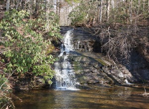
Wildcat Wayside Nature Trail
3.01.03 mi / 266 ft gainWildcat Wayside Nature Trail is a loop trail that takes you by a waterfall located near Cleveland, South Carolina.Read more -
150 Asbury Drive, South Carolina
Hike the Asbury Trail to Moonshine Falls
5.5 mi / 800 ft gainThe trail to the Matthews Creek cable bridge crossing is easy. The cable crossing is fine - fun for some and a do-able challenge for others. After the creek, to get to Moonshine Falls, turn RIGHT at the post which indicates a trail both left and right. This is the Naturaland Trail in Caesars Hea...Read more -
Tuckasegee, North Carolina
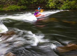
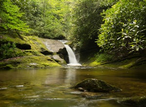
Paddling The Slab and Eternity Hole
5.0The Slab and Eternity hole, located on the East Fork of the Tuckasegee River, are two of Western, NC's best play spots for kayakers of all levels. Paddle down only yards from the public boat launch to The Slab where you can perfect your surfing in kayak, SUP, or whatever boat you float. A few hun...Read more -
Cosby, Tennessee
Maddron Bald - Albright Grove Loop
6.72 mi / 1500 ft gainHidden in the eastern reaches of Great Smoky Mountains National Park, the Cosby region receives a fraction of the visitation of Gatlinburg or Cherokee. This section of the park preserves some of the best deciduous old-growth forest in the eastern United States. Individual tulip trees and eastern ...Read more -
Cherokee, North Carolina
Mingo Falls
4.20.22 mi / 148 ft gainAlthough it is not much of a hike at just 0.3 miles, it is accessible to people of all fitness levels. A climb up a series of stairs leads you to a trail overlooking Mingo creek. You will then find a 20 foot wide bridge which serves as the viewing platform of the falls. If you care to advent...Read more -
Brevard, North Carolina
Hike the Toxaway River Trail
5.01.25 miThis easy 1.25 mile hike is located within the Lake Toxaway community. The trail itself follows a small creek as it winds through the valley. Be warned - there are numerous stream crossings. Most of the crossings are fairly easy at normal water levels, but can be difficult if the water is high. S...Read more -
Lake Toxaway, North Carolina
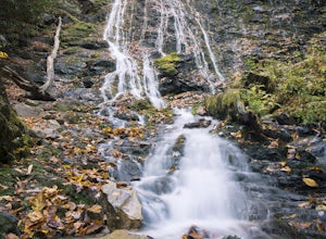
Hike to Raven Rock Falls
0.5 miIf you want to see a great waterfall without hiking all day, this is the perfect trail for you. Getting there - The trailhead is about 2 miles from the intersection of Cold Mountain and Panther Ridge Road (exact coordinates: 35.1594, -82.9801). There is a small grassy pull out where you can park...Read more -
Nebo, North Carolina
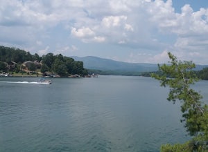
Explore Lake James State Park
The park has about 15 miles of trails with different levels of difficulties . Hiked the Lake Channel Trail along the lake with good views of the lake and the Blue Ridge Mountains. Hiked the Mill's creek trail which is nicely shaded and offers good views of the lake and the Linville Gorge area. ...Read more -
Unicoi, Tennessee
Red Fork Falls Trail
3.50.68 mi / 190 ft gainRed Fork Falls Trail is an out-and-back trail that takes you by a waterfall located near Unicoi, Tennessee.Read more -
Marion, North Carolina
Camp in the Linville Gorge via the Pinch In Trail
1.5 miWe are pretty notorious for passing up a good campsite but we are learning our lessons. We got a late but interesting start on Pinch-In trail. We climbed down a steep 600+ feet after passing this ledge only to climb right back to it a third of a mile in. If we come up to an awesome spot, we somet...Read more -
Marion, North Carolina
Hike the Rock Jock Trail
6 mi / 700 ft gainOne of the first things I noticed when researching this hike was the conflicting information regarding finding the trail head, length of the hike, and the hike's correct route. Hopefully, as of September 2017, this report will contain the most up-to-date information currently available. To find t...Read more -
Lake Toxaway, North Carolina
Hike to Schoolhouse Falls and Little Green
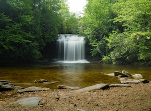
5.03 miTrail signs in Panthertown Valley are limited. Be sure to bring a map! Starting at the Cold Mountain parking lot, hike to Schoolhouse Falls. This is a nice waterfall with a pool at the bottom. In the summer, you are bound to run into other fellow hikers here. From Schoolhouse Falls, you have the...Read more -
Lake Toxaway, North Carolina
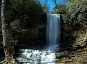
Hike to Warden, Jawbone, and Riding Ford Falls
4.5 miWarden, Jawbone, and Riding Ford Falls are three waterfalls located along the headwaters of the Tuckasegee River in Panthertown Valley. Not far from the Cold Mountain trailhead, these falls are quite popular in the summer. On a weekend, you will often find people playing in the pools below the fa...Read more -
Linville, North Carolina
Take in the View at the Chestoa View Overlook
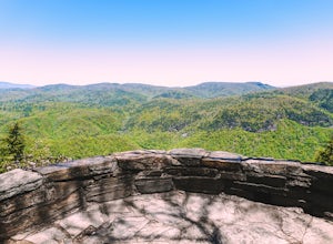
5.00.1 miChestoa View Overlook is an extremely short hike located down a pull-off at milepost 320 of the Blue Ridge Parkway. Park your vehicle in a designated spot then intercept the trail to the left of the lot. The trail will slowly descend down into a stone overlook. The panoramic view showcases the be...Read more -
Bakersville, North Carolina
Hiking from Carver's Gap to Hwy. 19 on the AT
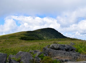
5.020.7 miThe AT from Carver's Gap to HWY 19 is about 14.5 miles, but with side adventures, it could be roughly 20 miles. The trail crosses the road and continues up about a 400 ft. elevation gain to the first of the balds. This section of the AT is beautiful at near 6000 ft. above sea level and you will g...Read more


