Waynesville, North Carolina
Looking for the best chillin in Waynesville? We've got you covered with the top trails, trips, hiking, backpacking, camping and more around Waynesville. The detailed guides, photos, and reviews are all submitted by the Outbound community.
Top Chillin Spots in and near Waynesville
-
Cleveland, South Carolina
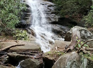
Hike to Jones Gap Falls
8.2 mi / 1200 ft gainFor Caesar's Head State Park access, head North from Pickens on HWY 178 until it intersects with HWY 11. Turn right onto HWY 11 North and continue for 10 miles until the 276 intersection where you veer off to the left. Follow 276 to the top of the mountain. 1 miles past the Caesars Head Visitors ...Read more -
Cleveland, South Carolina
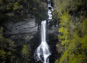
Raven Cliff Falls
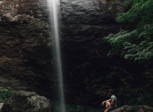
4.57.76 mi / 2185 ft gainLocation: From the intersection of US276 & SC11, head Northwest on US276. Drive to the top of the mountain, 1 mile past the visitor's center, and The Raven Cliff Falls Parking Area and trail head will be on your right. After parking in the Raven Cliff Falls Parking Area, the trailhead is l...Read more -
Cleveland, South Carolina
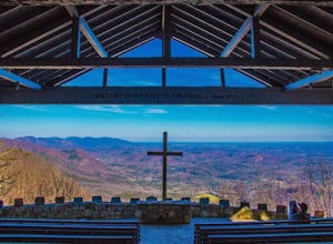
Photograph Fred W. Symmes Chapel (Pretty Place)
Getting there Fred W. Symmes (aka Pretty Place) Chapel is perched near the top of Standing Stone Mountain at 3000 feet above sea level. That being said, expect a long and winding drive up the mountain. It takes about 30 minutes starting from the bottom of the mountain to arrive to the chapel. Th...Read more -
Del Rio, Tennessee
Meadow Creek Fire Tower
5.0Meadow Creek Fire Tower is a great place to spend an afternoon watching the sunset or spend the night gazing at the stars. You can bring a blanket then lay out on the top of the tower and view the entire sky. The tower itself was made back in the early 1920's. Over the years it changed appearance...Read more -
Cleveland, South Carolina
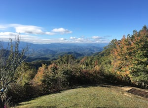
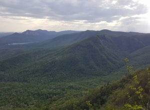
Caesars Head Overlook
5.00.27 mi / 144 ft gainThe Drive: Head North on SC Highway 11 "Cherokee Foothills Scenic Highway" towards Table Rock State Park. Follow SC 11 past Table Rock approximately 8 miles where it will merge with SC 8 at Pumpkin Town. Follow SC 8 for another 3-4 miles until you see the intersection for SC Highway 276 on the le...Read more -
Sunset, South Carolina
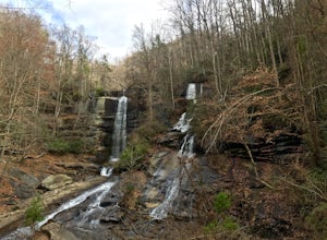
Hike to Twin Falls, SC
5.01 mi / 0 ft gainOnce you get to the destination there should be a small parking area. At the end of this parking area you will see the start of the Twin Falls trail that will be mostly a flat walk. Follow this trail approximately 0.5 miles to the falls. You will know you are in the right place if the creek is r...Read more -
Hendersonville, North Carolina
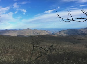
Hike to the Top of Bearwallow Mountain
5.02 mi / 583 ft gainOnce you have parked along the roadside near the trailhead, pass through the big gate on the right side of the road and take the trail off to the right. The trail winds up the mountain for a mile before it empties out onto the bald atop Bearwallow. Once on the bald, you can follow the gravel road...Read more -
Sevierville, Tennessee
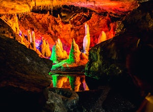
Spelunking in Forbidden Caverns
5.0When exploring all that Tennessee has to offer, it’s hard to ignore the fact it is home to more caves than any other state in America. So when picking one, of more than 10,000, to explore it is hard to go wrong. Forbidden Caverns happens to be one of the most popular spots and is only a few minut...Read more -
Pickens, South Carolina
Paddle on Lake Oolenoy
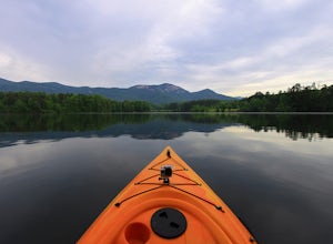
5.0Part of Table Rock State Park, Lake Oolenoy is a 67-acre lake providing private boat access for kayaks, canoes, or small boats with electric trolling motors.To get to the boat ramp, when traveling on scenic Highway 11, turn Sah Ka Na Ga View Road on the opposite side of the road as the Table Rock...Read more -
Mountain Rest, South Carolina
Hike to Kings Creek Falls
4.80.5 miThe trail to Kings Creek begins behind the bulletin board in the Burrells Ford primitive campground parking lot. It is an easy .5 mile trail to the falls. The falls are only 70ft high but they are beautiful, there is an area to the side of the falls with some nice sitting rocks and the area under...Read more -
Barnardsville, North Carolina
Douglas Falls
5.01.11 mi / 125 ft gainThe trail begins at the back of the parking area and is marked by a trail sign. Once on the trail, it is a straight shot to the waterfall with no turnoffs. Overall the trail is very easy and is a slight descent all the way down. Around .3 miles into the trail you enter a forest of now-dead hemloc...Read more -
Franklin, North Carolina
Photograph Wayah Bald Lookout Tower
0.1 mi / 0 ft gainThe Wayah Bald Lookout Tower is located in Nantahala National Forest in one of the oldest part of the protected land. It was first built in the 1920s then it was rebuilt throughout the years until it was finally made out of stone and concrete. The current tower that stands offers great views of t...Read more -
Flat Rock, North Carolina
Watch the Green Race
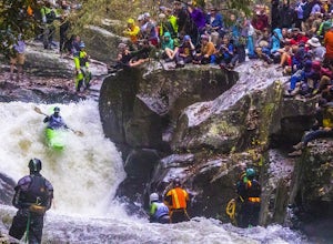
5.01.8 mi / 500 ft gainOn the first Saturday of November the best creek boaters in the world gather at the Green River in North Carolina to see who can storm the Narrows and claim the top title (at least for the next year!). For paddlers, creek boating is a pursuit along tight and narrow steeps that most of us have ne...Read more -
Dillard, Georgia
Hike to Rabun Bald
5.03 mi / 4696 ft gainStarting at the trailhead you begin by following the yellow blazes. The trail isn't well marked so keep an eye out for the blazes you see. The trailhead starts at the dead end of Kelsey Mountain Trail. The path immediately starts to incline and doesn't stop. A few minutes in you will come to a fo...Read more -
Montreat, North Carolina
Hike Lookout Mountain, Montreat
5.01.1 mi / 623 ft gainNestled in the Blue Ridge Mountains is Montreat, North Carolina. Just down the road from Asheville, it neighbors Black Mountain and doesn't disappoint for views. Montreat itself houses a plethora of hiking trails, but the cream of the crop HAS to be Lookout Mountain. After a weekend of checking o...Read more -
Bryson City, North Carolina
Hike Ledbetter Creek
5.0Leaving the Nantahala Outdoor Center, drive upriver for 6.5 miles until you see a pull off on the right. Walk past the picnic tables, cross the railroad tracks, then follow the trail to arrive at the creek. Once you're there, it's up to you on what to do next.One of the most popular activities he...Read more

