Hendersonville, North Carolina
Top Spots in and near Hendersonville
-
Linville, North Carolina
4.8
4.64 mi
/ 1178 ft gain
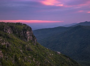
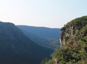
Start your hike from the Shortoff Mountain Trail off of Wolf Pit Road at the base of Lake James. From the summit there is a small grassy area off a side trail that provided awesome cliff side views of the Gorge and Linville River! You can setup after making the hour and a half trek (maybe just in...
Read more
-
Highlands, North Carolina
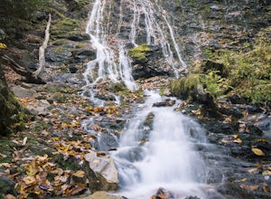
This is an awesome waterfall that offers views from several different spots along the road as well as a quick hike down to the base!
The small pull-off area is located towards the top of the falls. There isn't much space (3 maybe 4 cars at a time), but there are additional pull-off areas further ...
Read more
-
Marion, North Carolina
We are pretty notorious for passing up a good campsite but we are learning our lessons. We got a late but interesting start on Pinch-In trail. We climbed down a steep 600+ feet after passing this ledge only to climb right back to it a third of a mile in. If we come up to an awesome spot, we somet...
Read more
-
Marion, North Carolina
One of the first things I noticed when researching this hike was the conflicting information regarding finding the trail head, length of the hike, and the hike's correct route. Hopefully, as of September 2017, this report will contain the most up-to-date information currently available.
To find t...
Read more
-
Cherokee, North Carolina
4.2
0.22 mi
/ 148 ft gain
Although it is not much of a hike at just 0.3 miles, it is accessible to people of all fitness levels. A climb up a series of stairs leads you to a trail overlooking Mingo creek. You will then find a 20 foot wide bridge which serves as the viewing platform of the falls.
If you care to advent...
Read more
-
Cherokee, North Carolina
The pinpoint for this particular entrance starts just outside of Cherokee, North Carolina, following the Parkway North.
They say the Blue Ridge Parkway is more than just a road, it's a beautiful journey. Start this journey and you will quickly find this to be true. This 469 mile gateway connects...
Read more
-
Sylva, North Carolina
The Cowee Bald Fire Tower is located in the Nantahala National Forest near Bryson City North Carolina. To get there you can either drive almost all the way to the top about .2 miles from the top but to get there you will need to have a 4WD or a higher clearance vehicle to cross a small stream. Ho...
Read more
-
Pelzer, South Carolina
3.7
0.74 mi
/ 151 ft gain
There are three loop trail options at this 65-acre park, all beginning at the kiosk. The interpretive Jo Peeler Nature Trail is an easy 0.6 mile tour of the park, while the white trail is rated as a medium length hike, and the blue trail as long.
Leashed dogs are permitted at the park.
Read more
-
Pelzer, South Carolina
Cedar Falls Park Trail is a loop trail that takes you by a waterfall located near Pelzer, South Carolina. The loop is both family friendly and dog friendly (please keep your pup on-leash). There's also a park at the entrance for the kiddos before or after walking/hiking the trail.
Read more

