Hendersonville, North Carolina
Top Spots in and near Hendersonville
-
Mountain Rest, South Carolina
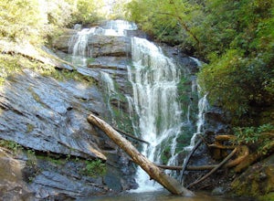
The trail to Kings Creek begins behind the bulletin board in the Burrells Ford primitive campground parking lot. It is an easy .5 mile trail to the falls. The falls are only 70ft high but they are beautiful, there is an area to the side of the falls with some nice sitting rocks and the area under...
Read more
-
Mountain Rest, South Carolina
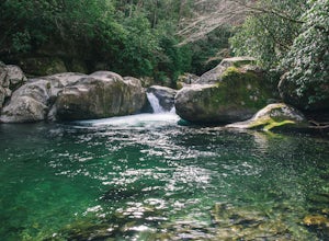
Very nice dog-friendly and family-friendly adventure! The hike is not long at all and the end result is a beautiful 70 ft waterfall with a pooled area at the bottom! Old logs are around for sitting on and relaxing while enjoying your lunch or snacks...
Read more
-
Del Rio, Tennessee
3.0
14.06 mi
/ 2966 ft gain
Make a weekend trip from Max Patch to Hot Springs N.C., and be sure to soak in the natural hot springs at the old inn after your hike! This is an incredible, relatively easy hike with the reward at the end being hot springs on the French Broad River. You can break this up however you like, this i...
Read more
-
Nebo, North Carolina
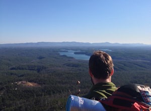
The park has about 15 miles of trails with different levels of difficulties . Hiked the Lake Channel Trail along the lake with good views of the lake and the Blue Ridge Mountains. Hiked the Mill's creek trail which is nicely shaded and offers good views of the lake and the Linville Gorge area. ...
Read more
-
Mountain Rest, South Carolina
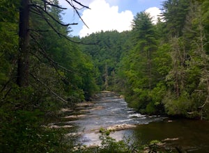
The hike to Big Bend Falls begins on the Chattooga River Trail at the Burrell's Ford Campground. To get here you take Burrell's Ford Road off of SC 107. There will be a good sized gravel parking area off to the left about 3 miles down Burrell's Ford Road. When you park the car you can walk down t...
Read more
-
Clyde, North Carolina
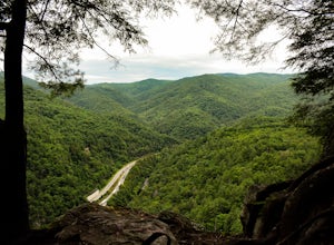
This is an awesome place to check out if you are driving Interstate 40 or if you are visiting the area for awhile. The access point for Buzzards Roost is located on the same exit as the well known Max Patch Mountain, just in the other direction.
Once off the exit, you will travel down a gravel Fo...
Read more
-
138 Silver Mine Road, North Carolina
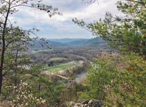
Lovers Leap Loop trail is a 1.8 mile loop in Hot Springs, NC. The address of the trailhead is 138 Silver Mine Rd, Hot Springs, NC 28743. Once you arrive at the parking lot, you will see a trail leading up into the mountain with a post next to it. This is where you want to begin. It is part of the...
Read more
-
Bureau of Indian Affairs Highway 506, North Carolina
5.0
1.21 mi
/ 400 ft gain
Your hike will start at the base of the Blue Ridge Parkway just a few miles from the start in Cherokee. The trail starts right off of the parkway in a very small easy to miss dirt road. There is a small area to park that then you start your hike up the dirt road right after the gate. The hike to ...
Read more
-
Tamassee, South Carolina
The Hike: Head out through the middle of the first of three fields, crossing creeks two times as you come to them. At the end of the last field, the trail enters the woods. Hike through the woods for 0.3 mile and take the left fork, crossing a creek , and head toward the larger branch of Tamassee...
Read more
-
Hot Springs, North Carolina
Rich Mountain fire tower is located in the Cherokee National Forest just outside of Hot springs North Carolina. Getting there is pretty easy once you get off of US 25W you drive up a gravel road for about 5 miles until you get to the tower. Once you get to the top its about a 100 foot walk until ...
Read more
-
Highlands, North Carolina
Bridal Veil Falls is located directly off of the road and is about a 100 feet tall in total. The falls makes for a great place to take pictures under the water falls. The falls itself is small and flows constant all year long getting to the bottom of the falls is not recommended because it is dan...
Read more
-
Carlisle, South Carolina
Croft State Park, called Tour de' Dump by locals, is a 7,000 acre state park containing a lake, a river, horse back riding, recreational fields, etc. but it is more commonly known for its mountain biking. Made up of a little more than 16 miles of trails you can enter the Southside Loop Trail fro...
Read more
-
Gaffney, South Carolina
This 118 mile drive in South Carolina can be driven during different seasons (storms permitting). Along this route, aside from stunning views of the Blue Ridge Mountains, you'll have the opportunity to take in historic locations, towns, and monuments. Make sure to bring your camera!
Here is a lin...
Read more
-
Morganton, North Carolina
The Linville Gorge Wilderness Area, also known as the Grand Canyon of the East, is one of the wildest, most rugged gorges in the eastern United States. It's also an outdoor paradise for hikers and backpackers. Camping here is always a treat and you are sure to enjoy your time spent in the gorge.D...
Read more
-
Newport, North Carolina
On your way in, stop at the ranger station parking lot to use the outhouses and grab a map for $1. Once at the Baxter Creek trailhead you have two options: 1. The Out and Back (12.2 miles) 2. The Loop (17 miles)Out and Back: Start on the Baxter Creek Trail and continue up for 6.1 miles until you...
Read more
-
Newport, North Carolina
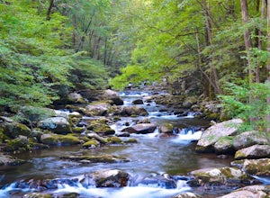
Follow Big Creek Trail on a moderate climb to this 45-foot waterfall. Around 1.3 miles in, you will begin to hike alongside Big Creek, and shortly afterwards you will pass Midnight Hole, a particularly deep pool. There are a number of other small falls en route. In spring you should see a number ...
Read more


