Fontana Dam, North Carolina
Looking for the best fitness in Fontana Dam? We've got you covered with the top trails, trips, hiking, backpacking, camping and more around Fontana Dam. The detailed guides, photos, and reviews are all submitted by the Outbound community.
Top Fitness Spots in and near Fontana Dam
-
Knoxville, Tennessee
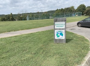
Strechi Hills Greenway
4.2 mi / 0 ft gainThis greeway is located in north Knoxville near the Sterchi Hills neighborhood. The greenway is 2.1 miles one way so it can make for a good run through the woods. All of the greenway is paved and most of it is under tree cover so it is shaded most of the time. This is a great trail to see birds a...Read more -
Tuckasegee, North Carolina
Hike to Cedar Cliff Rock
2.4 mi / 830 ft gainCedar Cliff Rock is one of those local places that exemplifies the Blue Ridge mountains oh-so-well. From the top you can see the Tuckaseegee River along with both Cedar Cliff and Bear Creek Reservoirs. While there are a few homes in between, much of the view is untouched, allowing a big mountain ...Read more -
Clayton, Georgia
Hike the James E. Edmond trail to Lookoff Mountain Overlook
4.07.5 mi / 2378 ft gainBlack Rock Mountain State Park is Georgia's highest elevation State Park. It is adorned with several waterfalls, sweeping overlooks, blooming Rhododendron's, and plenty of miles of trail. The James E. Edmond trail is the longest and by far most challenging hike in the park. Its medium-long dis...Read more -
Knoxville, Tennessee
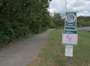
Bike or Run the Halls Greenway
2 miThis place is located right in the middle of Halls Crossroads. There are multiple access points along the Greenway. There is the Halls Community Center which is where the GPS of this adventure will lead you or there is a small parking area next to the Halls Food City. There are other entrances fr...Read more -
Hartford, Tennessee
Whitewater Rafting the Pigeon River
5.0The Pigeon River is a dam controlled river that winds its way through North Carolina and Eastern Tennessee just outside Great Smoky Mountains National Park. The river provides beautiful views as one paddles along via raft or kayak. Cutting through portions of the Pisgah and Cherokee National For...Read more -
Copperhill, Tennessee
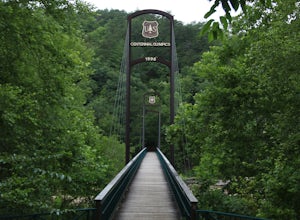
Explore Ocoee Whitewater Center
This location showcases the Ocoee river and the area used in the 1996 Olympics. This area is beautiful and has some amazing views. The drive to the whitewater center is called the Ocoee Scenic Byway and is the first national forest byway. The drive is gorgeous and features some amazing mountain v...Read more -
Oak Ridge, Tennessee
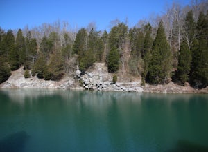
Hike to North Boundary Quarry
5.01 mi / 100 ft gainThe parking at the trailhead is right off of the Oak Ridge turnpike so its very easy to park and there are plenty of spots to park. The trail is very wide and is a great place for taking kids and riding your bike. There are more than one trail that you can take to get to the quarry from the trail...Read more -
Highlands, North Carolina
Explore Cashiers Sliding Rock
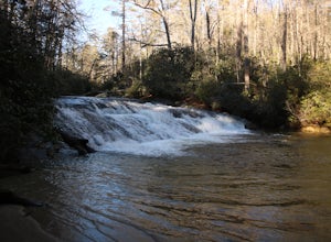
0.2 mi / 70 ft gainThis waterfall is located just outside of Cashiers, NC. The trailhead to the waterfall is right off of the road and has a good amount of parking. The trial itself is very nice and has new steps at the beginning of the trail. The trail is very wide and is mostly flat the entire way there. Once you...Read more -
Glenville, North Carolina
Hike to Blackrock Overlook
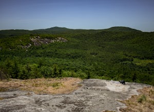
3 mi / 700 ft gainThis is probably one of my favorite hikes I've done in Panthertown Valley. Its also one of the easier views to access. You start from the Salt Rock Gap Parking lot, taking the Blackrock Trail (447) up Blackrock Mountain. This trail is located about 100 yards to the left if you are standing lookin...Read more -
Reliance, Tennessee
Hike the Scenic Spur Trail
5.03.9 mi / 426 ft gainVery little elevation gain leads to an easy hike along a river right outside of the Ocoee river region. First .7 miles is very flat, then leads to some slight elevation gain but nothing too serious. This trail traverses through the lush forest for a short distance when you come across a small cre...Read more -
Cashiers, North Carolina
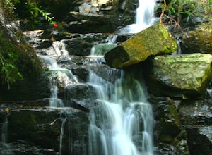
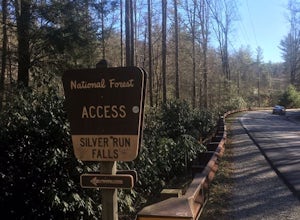
Hike to Silver Run Falls
0.25 mi / 100 ft gainThe hike to this waterfall is very short and well worth it. The waterfall is about 40 feet tall and has a large volume of water. This makes for a great place to swim. The bottom of the pool is about 15 feet deep and offers cool mountain water. To get there it is just outside of Cashiers, North C...Read more

