Collettsville, North Carolina
Top Spots in and near Collettsville
-
Shady Valley, Tennessee
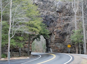
First, from the parking lot, there is a trail which climbs up to walk on top of the rock. The top of the rock is narrow, but has hand rails to hold on to. Once finished walking on top of the rock, cross the road (be extremely careful) and walk away from the tunnel. Here is a good angle to take a...
Read more
-
Lake Lure, North Carolina
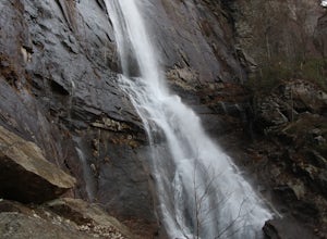
This waterfall is located inside of the Chimney Rock State Park. There is a fee of 15 dollars to go to the State Park but it is very worth it because of the beautiful scenery and beautiful views. The hike to the waterfall is partially uphill on the way. When you get to the waterfall there are a f...
Read more
-
Lake Lure, North Carolina
5.0
2.98 mi
/ 1204 ft gain
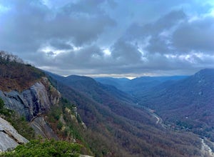
Exclamation Point and Skyline Trail to Hickory Nut Falls is an out-and-back trail that takes you by a waterfall located near Chimney Rock, North Carolina.
Read more
-
Lake Lure, North Carolina
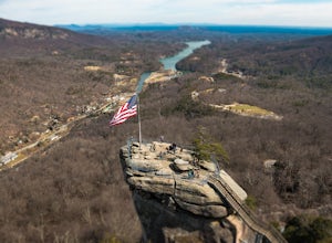
Chimney rock is a beautiful slab of weather granite that is visible from miles around. To get to this hike you'll want to head to Lake Lure in North Carolina, a beautiful lake located in the mountains of western North Carolina. Follow the signs for Chimney Rock and take the switchback road up t...
Read more
-
Bristol, Tennessee
5.0
3.54 mi
/ 869 ft gain
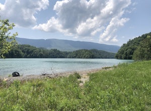
Spillway Trail is an out-and-back trail that takes you by a lake located near Bristol, Tennessee.
Read more
-
Bristol, Tennessee
5.0
1.45 mi
/ 157 ft gain
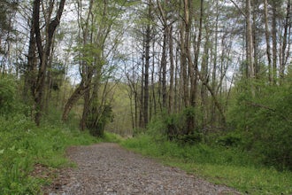
The Bouton Trail Loop is an approximately 1.5 mile round trip on TVA land. There is a gravel parking lot with an information sign and trail map. Sections of the trail are gravel and sections are dirt. There are multiple places along the trail that cut off and lead down to the river for prime fish...
Read more
-
Bristol, Tennessee
Coming from US-421 turn off on Emmett Rd and keep left to get on Holston View Dam Rd and continue straight on this road by the river. There are parking spaces by the river below the dam and short easy trails to walk on next to the river. You’ll see fly fishers in the river below the dam on early ...
Read more
-
Traphill, North Carolina
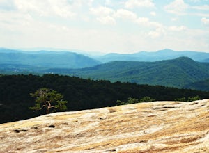
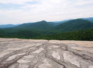
This is a strenuous 4.5 mile hike beginning from the Lower Parking Lot in Stone Mountain State Park (for a 5.2 mile hike, begin at the Upper Parking Lot). From the lot, take the trail by the bathroom. Keep right at the first trail intersection, then left at the second trail intersection to stay ...
Read more
-
Traphill, North Carolina
This easy 3.0 mile hike begins at the Lower Trailhead Parking Lot at Stone Mountain State Park and includes a 400' ascent to two granite outcrops with nice views. This hike can be combined with the Stone Mountain Loop hike for a 6.5 mile strenuous hike.From the parking lot, walk towards the strea...
Read more
-
Bristol, Tennessee
5.0
2.16 mi
/ 194 ft gain
The Emmett Trail is one of the TVA South Holston Tailwater Trails. This trail began as a footpath created by anglers. The trail now has gravel, which makes for easier access for families and pets. The trailhead begins on Piney Hill Road where it the traverses down to the waters edge and leads to ...
Read more
-
Bristol, Tennessee
The Osceola Island Loop is a 1.50 mile gravel loop on an island in the South Holston River. There are multiple benches along the loop to stop and observe the wildlife. Fishing is a common activity along the edge of the trail. There is a large parking area and bathrooms at the start of the trail.
Read more
-
Bluff City, Tennessee
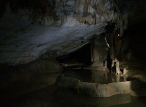
Worley’s Cave, also known as Morrill Cave, lies just outside of Boone across the Tennessee border. It is the second longest cave in the state of Tennessee at a whopping 4.4 miles in total length. It is a non-lit cavern that’s path is lit only by those who venture in its depths (i.e. headlamps, la...
Read more
-
Bristol, Tennessee
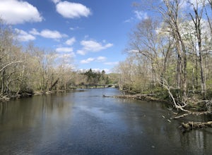
The TVA Tailwater Trail is a 0.5 mile trail along the east side of South Fork Holston River. The trail is dirt and ends in an incline. Along the edge of the river, there are views of the distant Holston Mountain. This trail provides access to the river for fishing. It is located near the Emmett T...
Read more
-
Damascus, Virginia
This multi-use (hiking, biking, horseback riding) rail-trail stretches 34 miles from Abingdon, Virginia to Whitetop, Virginia, passing through forests in the Blue Ridge Mountains, small farming communities in the countryside, and small historic towns.While you can pick up the trail at any point, ...
Read more
-
Mouth of Wilson, Virginia
5.0
1.35 mi
/ 157 ft gain
Park at the Visitor Center; don't stress when you get to the parking lot and can't see it, it's up the hill. From the parking lot hike across the road and find the staircase. Follow this up to the Visitor Center. If you're standing in front of the Visitor Center, the trailhead will be to the left...
Read more
-
Mouth of Wilson, Virginia
Located just inside the park entrance of Grayson Highlands State Park in Virginia, Sugarland Overlook provides an outstanding easterly view of the surrounding Blue Ridge Mountains.
The Sugarland Overlook is located about a mile up from the ranger station and is on the righthand side of the road....
Read more

