Collettsville, North Carolina
Top Spots in and near Collettsville
-
Marion, North Carolina
One of the first things I noticed when researching this hike was the conflicting information regarding finding the trail head, length of the hike, and the hike's correct route. Hopefully, as of September 2017, this report will contain the most up-to-date information currently available.
To find t...
Read more
-
Banner Elk, North Carolina
5.0
6.31 mi
/ 1991 ft gain
At 5,946 feet, Calloway Peak provides hikers with perhaps the best view of North Carolina's Blue Ridge Mountains. You'll have to earn this view - it is a tough climb up, although not terribly long.
Begin at the trailhead for Tanawha Trail in the Boone Fork Parking Area on the Blue Ridge Parkway....
Read more
-
Banner Elk, North Carolina
Boone Fork Bridge and creek is situated at the base of Grandfather Mountain, on the Blue Ridge Parkway, milepost 299.9. Elevation 3905'.The trailhead is at the left side of Boone Fork Creek parking area and the trail is a gentle meander through Rhododendrons and a hardwood forest.As you head tow...
Read more
-
Blowing Rock, North Carolina
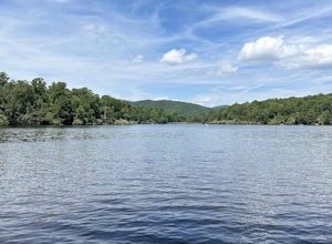
This campground is all kinds of amazing, and if you get one of the sites in the A loop, you will have lakefront property (just be warned, if I see you there, I'll have to crash with you ;-). Price Lake is a gorgeous lake right off the Blue Ridge Parkway in North Carolina and perfect for canoeing...
Read more
-
-
-
Linville, North Carolina
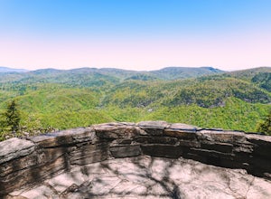
Chestoa View Overlook is an extremely short hike located down a pull-off at milepost 320 of the Blue Ridge Parkway. Park your vehicle in a designated spot then intercept the trail to the left of the lot. The trail will slowly descend down into a stone overlook. The panoramic view showcases the be...
Read more
-
Seven Devils, North Carolina
Calloway Peak via Profile Trail is an out-and-back trail with waterfall views located near Banner Elk, North Carolina in Grandfather Mountain State Park.
Read more
-
Linville, North Carolina
5.0
6.2 mi
/ 2300 ft gain
If you're looking for a challenge and hoping to escape the crowds at Grandfather Mountain, this is the hike for you.
Climbing up the back side of the mountain (opposite the famed mile-high swinging bridge) this trail is fee-free and easy-to-access with its own parking lot.
The trail, marked w...
Read more
-
Nebo, North Carolina
The park has about 15 miles of trails with different levels of difficulties . Hiked the Lake Channel Trail along the lake with good views of the lake and the Blue Ridge Mountains. Hiked the Mill's creek trail which is nicely shaded and offers good views of the lake and the Linville Gorge area. ...
Read more
-
Hickory, North Carolina
5.0
2.65 mi
/ 354 ft gain
Geitner Rotary Park Loop is a loop trail that takes you by a lake located near Hickory, North Carolina.
Read more
-
Connelly Springs, North Carolina
5.0
6.18 mi
/ 1299 ft gain
This 6.2-mile total trip will take you through the highlights of South Mountains State Park with an overnight stay in one of the drier campsites.
OPTIONAL: You can get a warm-up in by starting with a 2.5-mile loop to High Shoal Falls that you can do without packs before picking up with a 3-mile...
Read more
-
Connelly Springs, North Carolina
4.6
2.47 mi
/ 617 ft gain
From the Jacob Fork parking area in South Mountains State Park, it is a short 1 mile walk over the Jacob River to the High Shoals Waterfall (80'). If you choose to continue past the observation deck, High Shoals Falls Trail (blue circle) climbs up above the waterfall, crossing the river. Keep rig...
Read more
-
-
Connelly Springs, North Carolina
4.0
5.9 mi
/ 1115 ft gain
The journey begins at the Cicero Branch Parking Area along South Mountain Road, following Jacob Fork River Trail. The trail runs along the Fork before ascending Chestnut Knob. After completing the trail, you will find yourself on the highest peak of the South Mountain chain, where there are breat...
Read more
-
Marion, North Carolina
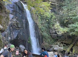
The hike to Tom's Creek Falls is a short but enjoyable hike right off the side of the road. The hike is on a wide and mostly flat gravel road that goes right up to the waterfall and a viewing platform that makes for a perfect place for pictures. This hike is a great hike for families and young ki...
Read more

