Clyde, North Carolina
Top Spots in and near Clyde
-
Gatlinburg, Tennessee
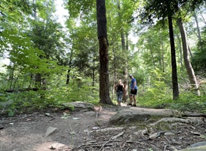
Twin Creeks Trail
4.04.54 mi / 879 ft gainTwin Creeks Trail is an out-and-back trail that takes you by a river located near Gatlinburg, Tennessee.Read more -
Flat Rock, North Carolina
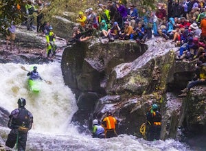
Watch the Green Race
5.01.8 mi / 500 ft gainOn the first Saturday of November the best creek boaters in the world gather at the Green River in North Carolina to see who can storm the Narrows and claim the top title (at least for the next year!). For paddlers, creek boating is a pursuit along tight and narrow steeps that most of us have ne...Read more -
Highlands, North Carolina
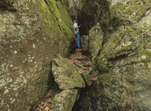
Bouldering Granite City
5.00.3 mi / 96 ft gainAt the foot of Blackrock Mountain just outside of Highlands, North Carolina, lies one of the most unique and secluded natural playgrounds around. Granite City is composed of several massive granite boulders, ranging between 10-40 feet tall. This spot is most popular for bouldering (mostly V0-V2...Read more -
Marshall, Tennessee
Appalachian Trail: Jones Meadow to Jerry Cabin Shelter
7.58 mi / 909 ft gainAppalachian Trail: Jones Meadow to Jerry Cabin Shelter is an out-and-back trail that provides a good opportunity to view wildlife located near Greeneville, Tennessee.Read more -
Cleveland, South Carolina
Wildcat Wayside Nature Trail
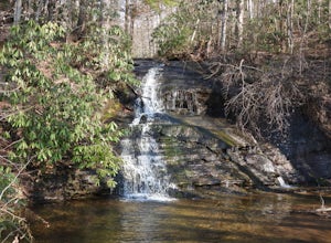
3.01.03 mi / 266 ft gainWildcat Wayside Nature Trail is a loop trail that takes you by a waterfall located near Cleveland, South Carolina.Read more -
Highlands, North Carolina
Photograph and Explore Bridal Veil Falls
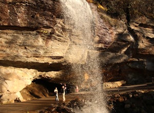
Bridal Veil Falls is located directly off of the road and is about a 100 feet tall in total. The falls makes for a great place to take pictures under the water falls. The falls itself is small and flows constant all year long getting to the bottom of the falls is not recommended because it is dan...Read more -
Sunset, South Carolina
Hike to Twin Falls, SC
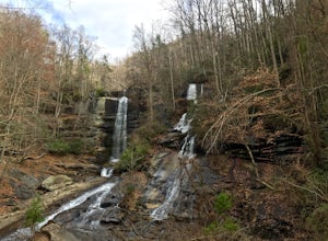
5.01 mi / 0 ft gainOnce you get to the destination there should be a small parking area. At the end of this parking area you will see the start of the Twin Falls trail that will be mostly a flat walk. Follow this trail approximately 0.5 miles to the falls. You will know you are in the right place if the creek is r...Read more -
Pickens, South Carolina
Hike to Table Rock Mountain
4.57.2 mi / 2433 ft gainWhile the Piedmont Foothills may sound deceptive, this is no easy trail. The first two miles of the Table Rock Trail take you soaring through the trees at a rapid pace. The trail is extremely well kept, but harsh and tough. A little before the two mile marker is a wooden shelter which is a great ...Read more -
Pickens, South Carolina
Backpack the Foothills Trail through the Southeastern Appalachian Mountains
5.076.2 mi / 11036 ft gainStarting at Table Rock State Park (South Carolina) and working your 76.2 miles way towards Oconee State Park (South Carolina) is the most popular route, with a few spur trails that lead to places like Raven Cliff Falls in Cesar's Head State Park. The trail gains ~11,036 feet in elevation with ano...Read more -
Pickens, South Carolina
Summit Sassafras Mountain
5.017.2 mi / 5041 ft gainPinnacle Trail begins by the Nature Center in Table Rock State Park. Keep left at the first three splits in the trail. You will make some creek crossings, gain elevation through the forest, and pass by Mills Creek Falls (25 ft). At Bald Rock Overlook, you can catch some nice views of Table Rock M...Read more -
Gatlinburg, Tennessee
Cataract Falls, Smoky Mountains
4.41.09 miYou will find the trailhead to this gravel path just to the left of the Sugarlands Visitor Center. The easy walk along Fighting Creek is scenic and tends not to be crowded, either. At the end of the hike you will find a beautiful 25-foot waterfall. Please refrain from climbing on or around the f...Read more -
Gatlinburg, Tennessee
Gatlinburg Trail
5.03.8 mi / 351 ft gainGatlinburg Trail is an out-and-back trail that takes you by a waterfall located near Gatlinburg, Tennessee.Read more -
Highlands, North Carolina
Explore Dry Falls, North Carolina
4.60.42 mi / 95 ft gainDry Falls is located off of Hwy. 64, which has been designated as the Mountain Waters Scenic Byway, and the road does not disappoint. Hwy. 64 is a two lane road which hugs the northern side of Cullasaja Gorge, which has been carved by the Cullasaja River. Besides Dry Falls, Hwy. 64 leads you past...Read more -
Pickens, South Carolina
Paddle on Lake Oolenoy
5.0Part of Table Rock State Park, Lake Oolenoy is a 67-acre lake providing private boat access for kayaks, canoes, or small boats with electric trolling motors.To get to the boat ramp, when traveling on scenic Highway 11, turn Sah Ka Na Ga View Road on the opposite side of the road as the Table Rock...Read more -
Hendersonville, North Carolina
Hike along The World's Edge
0.7 mi / 40 ft gainPark at the end of The World's Edge Road, but be aware that parking is very limited. There is a private residence up to the right so do not block their driveway/gate. Begin your hike by going through the leftmost gate, and continue straight until you reach the first view less than half a mile in....Read more -
Black Mountain, North Carolina
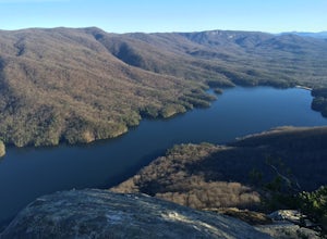
Eagle Rock
0.7 mi / 151 ft gainEagle Rock is located in Chimney Rock State Park and is a hot spot for climbers and hikers! The hike to the overlook at Eagle Rock is 0.4 miles, and it's one of the most bang-for-your-buck trails in the area. We love to picnic out on the rock as it's in the sun most of the day. If you decide to...Read more

