Clyde, North Carolina
Looking for the best hiking in Clyde? We've got you covered with the top trails, trips, hiking, backpacking, camping and more around Clyde. The detailed guides, photos, and reviews are all submitted by the Outbound community.
Top Hiking Spots in and near Clyde
-
Lake Toxaway, North Carolina
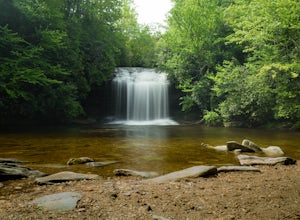
Hike to Schoolhouse Falls and Little Green
5.03 miTrail signs in Panthertown Valley are limited. Be sure to bring a map! Starting at the Cold Mountain parking lot, hike to Schoolhouse Falls. This is a nice waterfall with a pool at the bottom. In the summer, you are bound to run into other fellow hikers here. From Schoolhouse Falls, you have the...Read more -
Lake Toxaway, North Carolina
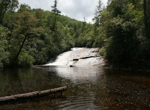
Hike to Warden, Jawbone, and Riding Ford Falls
4.5 miWarden, Jawbone, and Riding Ford Falls are three waterfalls located along the headwaters of the Tuckasegee River in Panthertown Valley. Not far from the Cold Mountain trailhead, these falls are quite popular in the summer. On a weekend, you will often find people playing in the pools below the fa...Read more -
Brevard, North Carolina
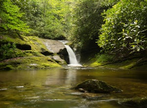
Hike the Toxaway River Trail
5.01.25 miThis easy 1.25 mile hike is located within the Lake Toxaway community. The trail itself follows a small creek as it winds through the valley. Be warned - there are numerous stream crossings. Most of the crossings are fairly easy at normal water levels, but can be difficult if the water is high. S...Read more -
Cullowhee, North Carolina
Hike to High Falls
3.51.5 mi / 600 ft gainThis is an awesome hike if you're up for a challenge! The hike in isn't bad at all and the trail itself isn't super long but the climb back out will be a little more difficult due to the rock steps and lengthy uphill. This hike starts from a parking lot, just across the road from Lake Glenville a...Read more -
Gatlinburg, Tennessee
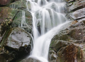
Hike to the Ramsey Cascades
4.97.83 mi / 2190 ft gainThis multi-tiered waterfall is known as the tallest in the park – a worthwhile reward for the steep and sometimes tricky terrain you'll face on the way up. The popular route to the falls also passes through an impressive old-growth forest, which apparently boasts some of the tallest trees in the...Read more -
Sylva, North Carolina
Hike to Cowee Bald Fire Tower
4.4 mi / 400 ft gainThe Cowee Bald Fire Tower is located in the Nantahala National Forest near Bryson City North Carolina. To get there you can either drive almost all the way to the top about .2 miles from the top but to get there you will need to have a 4WD or a higher clearance vehicle to cross a small stream. Ho...Read more -
Hendersonville, North Carolina
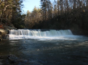
Hike to Hooker Falls
4.00.8 mi / 100 ft gainHooker Falls is located in Dupont State Forest in southern North Carolina. The hike is a great hike for kids to go on and to have a picnic. The waterfall is a beautiful waterfall that offers a great place to swim. Along the hike there are also other places you can see the river and you can swim a...Read more -
Little River, North Carolina
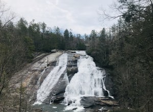
High Falls & Triple Falls
4.52.38 mi / 502 ft gainBoth falls provide ample open, flat rock right up next to the massive falls where you can picnic, take photos, or just lounge in the sun and mist. There are signs saying so, but be sure to be careful near the waters edge below the falls - swimming is not allowed as the current can be very strong....Read more -
Gatlinburg, Tennessee
Fern Branch Falls
5.03.7 mi / 700 ft gainTake Porters Creek Trail, a gravel road alongside Porters Creek. You will pass by an old farmstead and cemetery, as well as lots of wildflowers if you're out during the spring. In a mile, keep left, then in another half mile or so you should cross over a small (and somewhat harrowing) footbridge...Read more -
Gatlinburg, Tennessee
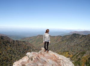
Hike to the Jump-Off
4.36.2 mi / 1079 ft gainThis trail starts at the Newfound Gap parking lot. Newfound Gap is situated on the border of Tennessee and North Carolina. The views from Newfound Gap overlook North Carolina and are worth the trip in their own right. The restroom facilities are clean and have flushing toilets. Follow the crowds ...Read more -
Gatlinburg, Tennessee
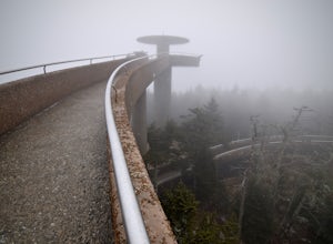
Hike to Clingman’s Dome via Newfound Gap
4.516.6 mi / 1600 ft gainThis route to Clingmans Dome is available throughout the year. But during the winter months from December 1 through March 31, the 7-mile Clingman’s Dome Road that branches off Highway 441 at Newfound Gap, stays closed. This means the usual drive to the parking area located just a half mile below ...Read more -
Gatlinburg, Tennessee
Mount LeConte Lodge via the Boulevard Trail
15.95 mi / 3000 ft gainBegin your adventure by arriving at the Newfound Gap parking lot - before first light. Why? Because you won't want to miss the incredible sunrise from the parking lot - even before you step foot on the trail! It is said that a hiker will never get overly warm hiking the Boulevard to Leconte due ...Read more -
Gatlinburg, Tennessee
Charlies Bunion via Appalachian Trail
5.04.32 mi / 1640 ft gainFrom the Sugarlands Visitor Center near Gatlinburg, drive approximately 13 miles south on Newfound Gap Road to reach the Newfound Gap Parking Area (it'll be on your left). The parking area is free and there are bathrooms. Follow the Appalachian Trail towards Katahdin, Maine (1972 miles away, woah...Read more -
35.610235,-83.426410
Myrtle Point via Alum Cave
5.015.43 mi / 3100 ft gainThis hike can be started at the Alum Cave trailhead or the Boulevard Trailhead. For this particular adventure, the starting point is Alum Cave. If you're lucky enough to stay the night at the backcountry shelter on top of Mt. LeConte, (add 0.2 miles if coming from the Lodge), head east on the Bou...Read more -
Bryson City, North Carolina
Deep Creek to Clingmans Dome Loop
32.82 mi / 7400 ft gainThis is a ~36 mile loop that goes up Clingman's Dome (the tallest point in Tennessee). Pretty challenging, not for the novice backpacker. Park at Deep Creek campground in Bryson City, NC. We did it as a 3-day, 2-night camping at sites 53 and 61. As it is a loop it could easily be done in reverse....Read more -
Bryson City, North Carolina
Hike to Alarka Falls
5.01 mi / 100 ft gainTo visit the falls, take US-74 west from Bryson City to exit 64 . Take a left at the exit and drive on Alarka Road for about 10 miles. Follow the road all the way to the end where you will find a turnaround. Don't make the mistake of following the forest service road (it is gated), as it is not ...Read more

