Candler, North Carolina
Looking for the best hiking in Candler? We've got you covered with the top trails, trips, hiking, backpacking, camping and more around Candler. The detailed guides, photos, and reviews are all submitted by the Outbound community.
Top Hiking Spots in and near Candler
-
Brevard, North Carolina
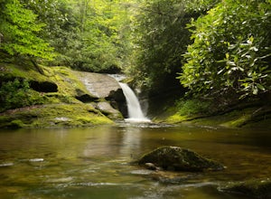
Hike the Toxaway River Trail
5.01.25 miThis easy 1.25 mile hike is located within the Lake Toxaway community. The trail itself follows a small creek as it winds through the valley. Be warned - there are numerous stream crossings. Most of the crossings are fairly easy at normal water levels, but can be difficult if the water is high. S...Read more -
Lake Toxaway, North Carolina
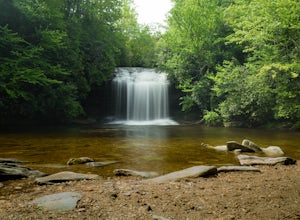
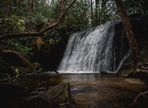
Hike to Schoolhouse Falls and Little Green
5.03 miTrail signs in Panthertown Valley are limited. Be sure to bring a map! Starting at the Cold Mountain parking lot, hike to Schoolhouse Falls. This is a nice waterfall with a pool at the bottom. In the summer, you are bound to run into other fellow hikers here. From Schoolhouse Falls, you have the...Read more -
Lake Toxaway, North Carolina
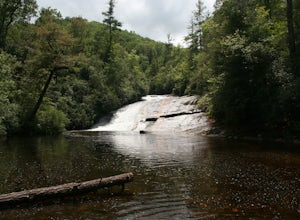
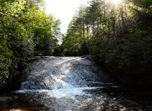
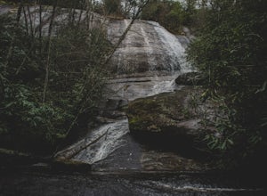
Hike to Warden, Jawbone, and Riding Ford Falls
4.5 miWarden, Jawbone, and Riding Ford Falls are three waterfalls located along the headwaters of the Tuckasegee River in Panthertown Valley. Not far from the Cold Mountain trailhead, these falls are quite popular in the summer. On a weekend, you will often find people playing in the pools below the fa...Read more -
150 Asbury Drive, South Carolina
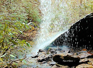
Hike the Asbury Trail to Moonshine Falls
5.5 mi / 800 ft gainThe trail to the Matthews Creek cable bridge crossing is easy. The cable crossing is fine - fun for some and a do-able challenge for others. After the creek, to get to Moonshine Falls, turn RIGHT at the post which indicates a trail both left and right. This is the Naturaland Trail in Caesars Hea...Read more -
Glenville, North Carolina
Hike to Frolictown Falls
1.5 mi / 350 ft gainThis is an awesome hike to do if you're short on time or have hours to kill. Because it is so easy to access, it doesn't take very long to get down to it and can be accessed by two separate trails. Both trails are well maintained, however, while there are some blazes, it is not heavily marked. Th...Read more -
Glenville, North Carolina
Hike to Granny Burrell Falls
2.4 mi / 440 ft gainPanthertown Valley has a unique system of trails, with each trail having a specific number. Some of the trails listed at the information hut in the parking lot are accessed by taking one or two other trails to get to the start of the trail you are seeking. That is the case when hiking to Granny B...Read more -
Glenville, North Carolina
Hike to Wilderness Falls
1.4 mi / 300 ft gainWilderness Falls offers a beautiful hike with a simple yet captivating falls. All of the maintained trails in Pantertown Valley are marked by a number system (there is an information hut in the parking lot with information about other local trails, distance of different trails, and emergency cont...Read more -
Glenville, North Carolina
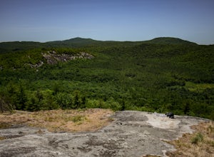
Hike to Blackrock Overlook
3 mi / 700 ft gainThis is probably one of my favorite hikes I've done in Panthertown Valley. Its also one of the easier views to access. You start from the Salt Rock Gap Parking lot, taking the Blackrock Trail (447) up Blackrock Mountain. This trail is located about 100 yards to the left if you are standing lookin...Read more -
Burnsville, North Carolina
Roaring Fork Falls
1.52 mi / 302 ft gainRoaring Fork Falls is an out-and-back trail that takes you by a waterfall located near Burnsville, North Carolina.Read more -
Burnsville, North Carolina
Roaring Fork Falls
1.31 mi / 249 ft gainPark at the work center but don't block the gate. Hike around the gate and head up the grassy and gravel road. Once you get to the creek a narrow path leads upstream to the base of the falls. gps: n35 46.101/ w82 11.713Read more -
Cleveland, South Carolina
Wildcat Wayside Nature Trail
3.01.03 mi / 266 ft gainWildcat Wayside Nature Trail is a loop trail that takes you by a waterfall located near Cleveland, South Carolina.Read more -
Cosby, Tennessee
Hike to the Mount Cammerer Lookout Tower
4.510.99 mi / 3040 ft gainMost visitors have a vision of how they'd like to see Great Smoky Mountains National Park, and it typically involves climbing to the top of a mountain like 4,928-foot Mount Cammerer. This is a very strenuous hike involving a breathtaking amount of elevation gain along the rugged Low Gap and Appal...Read more -
Cherokee, North Carolina
Mingo Falls
4.20.22 mi / 148 ft gainAlthough it is not much of a hike at just 0.3 miles, it is accessible to people of all fitness levels. A climb up a series of stairs leads you to a trail overlooking Mingo creek. You will then find a 20 foot wide bridge which serves as the viewing platform of the falls. If you care to advent...Read more -
Cosby, Tennessee
Hike to Hen Wallow Falls in Great Smoky Mountains NP
5.04.57 miStart your adventure by parking in the Cosby Picnic Area Parking Lot near the entrance of the Cosby Campground. (127 Cosby Picnic Area Rd, Cosby, TN 37722.) Then backtrack through the parking lot about 100 yards until you see the sign marking the start of Gabes Mountain Trail. The trek to Hen W...Read more -
Burnsville, North Carolina
Backpack the Black Mountain Crest Trail
12 mi / 5390 ft gainThe Black Mountain Crest Trail is legendary among hikers in the southeast. It is the highest trail east of the Mississippi, as it traverses the summit of several peaks over 6,000 feet. It is also widely acknowledged as one of the premier hikes on the east coast. To whit, the trail immediately asc...Read more -
Newport, Tennessee
Explore Halls Top Fire Tower
4.01 mi / 200 ft gainHalls Top Fire Tower is a special untouched spot in the Cherokee National Forest. The road that leads you into the CNF is known as Halls Top Road just a few miles off of Interstate I-40. This road will take you 4.4 miles to the next turn onto Stone Mountain Road this road is 2.1 miles to the gat...Read more

