Almond, North Carolina
Looking for the best hiking in Almond? We've got you covered with the top trails, trips, hiking, backpacking, camping and more around Almond. The detailed guides, photos, and reviews are all submitted by the Outbound community.
Top Hiking Spots in and near Almond
-
Bureau of Indian Affairs Highway 506, North Carolina
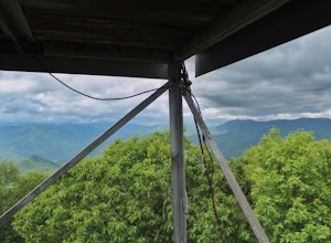
Barrett Knob Fire Tower
5.01.21 mi / 400 ft gainYour hike will start at the base of the Blue Ridge Parkway just a few miles from the start in Cherokee. The trail starts right off of the parkway in a very small easy to miss dirt road. There is a small area to park that then you start your hike up the dirt road right after the gate. The hike to ...Read more -
Gatlinburg, Tennessee
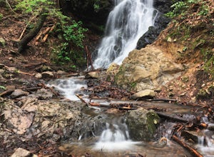
Cataract Falls, Smoky Mountains
4.41.09 miYou will find the trailhead to this gravel path just to the left of the Sugarlands Visitor Center. The easy walk along Fighting Creek is scenic and tends not to be crowded, either. At the end of the hike you will find a beautiful 25-foot waterfall. Please refrain from climbing on or around the f...Read more -
Gatlinburg, Tennessee
Gatlinburg Trail
5.03.8 mi / 351 ft gainGatlinburg Trail is an out-and-back trail that takes you by a waterfall located near Gatlinburg, Tennessee.Read more -
Gatlinburg, Tennessee
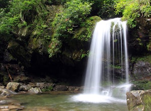
Grotto Falls Trail
5.01.83 mi / 585 ft gainThis is an intermediate hike along Trillium Gap Trail. There are four stream crossings on your way to the falls as you hike through an idyll, often wildflower-sprinkled landscape. Late spring is best for catching blooms. Once at the waterfall, you can walk behind the cascade of water. This is a ...Read more -
Tallassee, Tennessee
Abrams Falls Trail
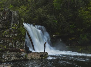
4.84.96 mi / 625 ft gainOne of the biggest perks of hiking Abrams Falls is the drive to get there. The trailhead is located approximately 5 miles into the scenic Cades Cove Loop. Cades Cove is an adventure in itself. Keep your eye out for black bears, deer and wild turkey. If you are taking the self guided auto tour, Ab...Read more -
Gatlinburg, Tennessee
Twin Creeks Trail
4.04.54 mi / 879 ft gainTwin Creeks Trail is an out-and-back trail that takes you by a river located near Gatlinburg, Tennessee.Read more -
Joyce Kilmer-Slickrock Wilderness, North Carolina
Backpack Slickrock Creek Trail #42
30 mi / 3700 ft gain8:30 a.m. and we’re winding our way down Highway 129 near Robbinsville, NC. The fog is still thick over the Little Tennessee River as we slow down crossing the bridge into Graham County. “I think we missed it,” I say as we continue onward. Within minutes the Tapoco Lodge comes into view. My pre-h...Read more -
Robbinsville, North Carolina
Hike the Big Fat Gap Trail
12 mi / 3000 ft gainThere are many trailheads leading into the wilderness on either the Tennessee or North Carolina side. My favorite is the Big Fat Gap trail on the North Carolina side at an elevation of 3,060'. To see the best of what this area has to offer take the Hangover Lead South Trail to the 5,180' Hangover...Read more -
Maggie Valley, North Carolina
Soco Falls
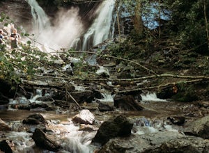
5.00.09 mi / 0 ft gainThis double waterfall is located a mile and half off of the Blue Ridge Parkway in the Cherokee Indian Reservation. From the parking area, it's a short walk down a well-established trail to the viewing area of the falls. For an even closer view of the falls, you can follow a roped, steep path dow...Read more -
Highlands, North Carolina
Explore Cullasaja Falls
5.00.3 mi / 200 ft gainThis is an awesome waterfall that offers views from several different spots along the road as well as a quick hike down to the base! The small pull-off area is located towards the top of the falls. There isn't much space (3 maybe 4 cars at a time), but there are additional pull-off areas further ...Read more -
Otto, North Carolina
Hike to and Climb Pickens Nose
4.81.5 mi / 200 ft gainFrom the parking area (fits about 6 cars) follow the trail on the same side of the road up the ridge through dense rhododendron. Several spur trails branch off of the main trail and lead to rock outcroppings with excellent views. Getting to the parking area is slow. The narrow gravel road winds...Read more -
Lake Santeetlah, North Carolina
Huckleberry Knob
4.81.77 mi / 295 ft gainHuckleberry Knob is the highest point in the Cheoah Ranger District at 5,560 feet, and it offers expansive views of the surrounding Cherokee and Natahala National Forest. The hike is 2.4 miles roundtrip and begins at the parking lot between mile 8 and 9 up an old dirt road. You will go up the di...Read more -
Gatlinburg, Tennessee
Fern Branch Falls
5.03.7 mi / 700 ft gainTake Porters Creek Trail, a gravel road alongside Porters Creek. You will pass by an old farmstead and cemetery, as well as lots of wildflowers if you're out during the spring. In a mile, keep left, then in another half mile or so you should cross over a small (and somewhat harrowing) footbridge...Read more -
Sylva, North Carolina
Waterrock Knob Trail
5.01 mi / 407 ft gainThe trail begins paved and quickly climbs up into a heavily forested area. Once at a 1/4 of a mile in, you will come to a nice overlook that will give you your first real good view of the surrounding mountains. The trail then continues on, though now unpaved, with great views off to your left as ...Read more -
Sylva, North Carolina
Abandoned Cessna 414A at Waterrock Knob
3.71.72 mi / 430 ft gainThis is an AWESOME day hike for anyone looking to get outside for a few hours and see some special views of the blue ridges, as well as check out the abandoned plane crash of a Cessna 414A that happened back in 1983. The remains of the plane are still scattered along the hillside making it a supe...Read more -
Robbinsville, North Carolina
Hike Hooper Bald
1 mi / 250 ft gainHooper bald is one of the highest points in Graham County so the views from the top can be spectacular year round. The trail-head starts at mile marker 8 on the Cherohala Skyway. From the trail-head you start your accent on a semi-paved trail and walk about a half-mile before reaching the edge o...Read more

