Shelter Island, New York
Top Spots in and near Shelter Island
-
Charlestown, Rhode Island
Car Camp at Charlestown Breachway Campground
Rhode Island is nicknamed the Ocean State for a reason, and camping by the coast is something absolutely necessary while in New England. During the summer and early fall, Charlestown, RI, as well as the surrounding beach towns, come alive with tourists from all over the globe. The Breachway Campg...Read more -
New Shoreham, Rhode Island
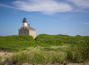
Walk to North Lighthouse
1 mi / 0 ft gainIn order to reach the Lighthouse you must walk along the trail that begins at the end of Corn Neck Rd. This walk is along the beach and then veers off to the left once you get closer to the light house (the seventh picture shows the start of the walk). It's only a half mile to the light house, bu...Read more -
Meriden, Connecticut
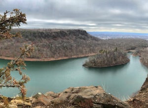
Hike the Metacomet, Blue, and Yellow Loop
5.04.5 mi / 976 ft gainStart from the Castle Craig road entrance. Walk until you're greeted by a beautiful reservoir. You'll notice the strange but beautiful Mine Island in the middle of all this. You'll also notice markers for White Trails and Yellow Trails. The White Trail is an easier/wider trail. The Yellow Trail C...Read more -
Cheshire, Connecticut
Hike to Roaring Brook Falls
1.2 mi / 377 ft gainArriving to the falls, parking is residential but don't worry everyone is friendly. Starting off the hike you will walk past a cool pond where you may be able to see some wildlife. Continuing on, you will follow the marked trail where it will take you further into the woods while gaining elevatio...Read more -
Hopkinton, Rhode Island
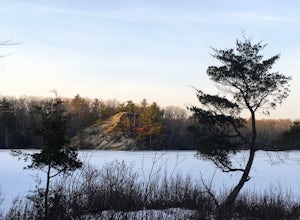
Hike to Long Pond & Ell Pond
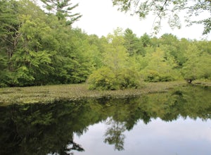
5.05.7 miLong & Ell Pond is a favorite hike at any time of the year, but it is not for the faint of heart (or small children)! The path immediately becomes more of a rock-scrambling adventure than a hike, but the views are so worth it. This GPS address will lead you down a dirt road but you should ea...Read more -
Patchogue, New York
Camp at Fire Island's Watch Hill
4.02 miIf departing from NYC, catch the early LIRR train from Penn Station (or Atlantic Terminal) towards Patchogue. You may have to transfer at both Jamaica & Babylon, but it's an easy hop across the platform. Trip will take approximately an hour and a half and cost around $15, Off Peak, each way. ...Read more -
Glastonbury, Connecticut
Hike the Cotton Hollow Nature Preserve
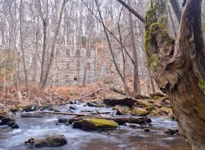
5.03 miThere are two parking locations for Cotton Hollow, the location tagged in the directions is the shortest hike to the old gun powder mill. Suggestions when it comes to exploring the preserve are to stay on the trails, know your limits, and enjoy! There are swimming holes along the river, but swim ...Read more -
Glastonbury, Connecticut
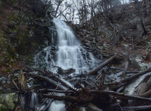
Blackledge Falls
4.01.46 mi / 207 ft gainAlthough the park contains hiking trails, a pond and a streambelt, the primary draw of this parcel of land is the 25 foot waterfall. The falls flow varies depending on the volume of precipitation, from a trickle in the dry months to a three-pronged vertical drop after some consistent snow melt or...Read more -
South Kingstown, Rhode Island
Hike the Osprey Point Loop on Trustom Pond
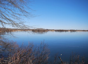
2 miCareful on the drive in for deer! From the parking lot head right around the Farm Field Loop Trail then continue to your right down Osprey Point Trail (0.8 miles). This is where you will most likely see the deer up close. Continue to your right to the Osprey Point Overlook, which will (on a clear...Read more -
Voluntown, Connecticut
Hike Pachaug State Forest Trails
5.03.6 mi / 200 ft gainLawden Brook Trail Loop is a 3.6 mile loop hike that takes you by a lake located near Voluntown, Connecticut.Read more -
Southington, Connecticut
Rock Climb Ragged Mountain
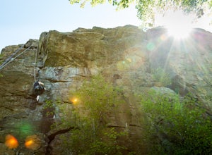
The main face of Ragged Mountain (elev. 761 feet) is home to a lot climbing in central Connecticut. It runs north-south for about 600 feet. Its max height of 100 feet. The crag is home to several rock climbing guides and schools. Routes range in difficultly from great for the beginner (5.3) to su...Read more -
Berlin, Connecticut
Hike the Ragged Mountain Memorial Preserve
4.55.5 mi / 560 ft gainRagged Mountain main loop is approximately 5.5 miles long, and is known for its expansive bare-rock vistas, vertical cliff faces, and scenic views overlooking cliff-side reservoirs and ponds. The trail is rated moderate, with some flat stretches among the trees, mixed with some uneven rocky foot...Read more -
Bridgeport, Connecticut
Stroll around Fayerweather Island
0.5 miParking is at the end of Barnum Road in the Seaside Park. Though the lighthouse grounds are accessible the tower itself is not open to the public. To access the island you must walk across the breakwater. Please use caution as it is uneven footing and at times can be slippery. From the isla...Read more -
Southington, Connecticut
Hike the Crescent Lake & Metacomet Trail Loop
4.02.4 mi / 269 ft gainThe hike to view Crescent Lake is peaceful. You can either walk through the woods where you will be blessed with natures finest birds and wildlife or you can take the trail along the lake edge. Both are similar distances and lead to the same hill at the end! Once you get to the top take a left on...Read more -
Kings Park, New York
Kayaking the Nissequogue River
5.0Starting on the banks of Nissequogue River State Park, this 6 mile journey makes you feel like you’re cruising down river in the south, when you’re really on Long Island. I really suggest going as high tide is rolling in as there can be some shallow sections along this trip. Head out into the ope...Read more -
West Greenwich, Rhode Island
Stepstone Falls via Ben Utter Trail
5.02.64 mi / 125 ft gainStepstone Falls via Ben Utter Trail is an out-and-back trail that takes you by a waterfall located near West Greenwich, Rhode Island.Read more


