North Branch, New York
Looking for the best photography in North Branch? We've got you covered with the top trails, trips, hiking, backpacking, camping and more around North Branch. The detailed guides, photos, and reviews are all submitted by the Outbound community.
Top Photography Spots in and near North Branch
-
3197 U.S. 44, New York
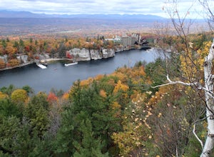
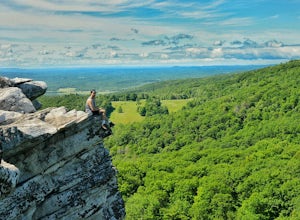
Hike to Sky Top via the Undercliff Road
7.3 mi / 900 ft gainStarting from the East Trapps parking area ascend the East Trapps connector trail marked with yellow blazes. You can also park at the Mohonk Preserve visitor center where you can purchase your access pass ($15 per person) and pick up a free map of the presere trails and carriage roads. The conn...Read more -
Dingmans Ferry, Pennsylvania
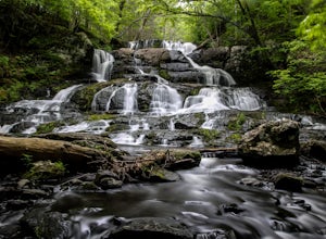
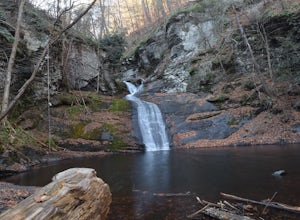
Hike to Indian Ladder Falls Along Hornbecks Creek
3.52 mi / 400 ft gainFor some time, the trail was eroded above the first falls on Hornbecks Creek, not allowing hikers to access the creek's upper falls if they were coming upstream from Route 209. I am writing this in June 2017 and that is no longer the case! You can hike from Rt. 209 all the way up the creek to Eme...Read more -
Frankford, New Jersey
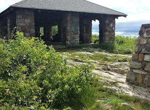
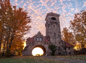
Picnic at the Sunrise Mountain Pavilion
This pavilion is one of the key features along the New Jersey section of the Appalachian Trail. There is a parking lot a very short hike part way down the mountain, but I recommend backpacking in from a different area to take in more of the beauty of the trail, mountains, and views in this area. ...Read more -
High Falls, New York
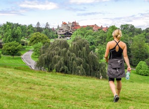
Mohonk Mountain House Labyrinth and Lemon Squeeze Hike
4.5Mohonk Mountain House is a historic resort located just outside the Catskills in the Hudson Valley just 90 miles north of New York City. With 85 miles of winding trails throughout the Mohonk Preserve, you'll have endless hiking options upon your arrival.Parking at the Gatehouse is limited, so be ...Read more -
High Falls, New York
Scramble Bonticou Crag and Table Rocks
4.5This is not a hike for the inexperienced. There is a very steep rock scramble that has some dangerous section if you are not aware of your footing and positioning. For those up to the challenge, it is extremely rewarding at the top.To start, each person has to pay $12 to access the Monhonk Preser...Read more -
Sandyston, New Jersey
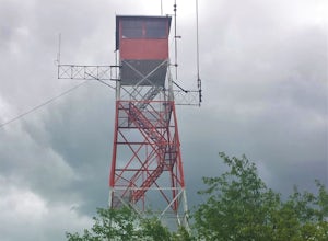
Hike the AT to Culvers Lookout Tower
3.2 miStart your journey in Stokes State Forest at the Culver Gap Parking Lot, located at 41.180239, -74.787954. From the parking lot, jump on over to the Appalachian Trail and hike Northbound. You know you're headed the right way if you are going away from the small town and cross over Sunrise Mountai...Read more -
New Paltz, New York
Hike Mohonk Preserve's Gatehouse to Skytop Tower
5.09 mi / 1268 ft gainBegin at the intersection of Gatehouse Rd and Mohonk Private Rd. There is a small shoulder to park on here. Begin hiking into the preserve along the gatehouse road. There will be signs stating you need a membership or pass to enter. Don't worry about these, there will be a place on the trail ...Read more -
Lehman township, Pennsylvania
Hike to Hornbeck's Creek Waterfall
4.31.2 miGPS Coordinates: 41.187148,-74.885454Driving Directions: From 209, enter into the Delaware Water Gap and in between the 10 and 11 mile markers you will see a sign for Hornbecks Creek with a gravel road adjacent to it. Follow the road back until you reach the parking lot and the trail will be to t...Read more -
Bushkill, Pennsylvania
Bushkill Falls Loop
3.81.89 mi / 331 ft gainBushkill Falls offers visitors a choice of 4 different trails to explore. All trails are very well maintained, making this trip safe for the whole family. The most rewarding trail is the Red Trail. This route brings you to all 8 of Bushkill's waterfalls. Taking the trail counter-clockwise, you w...Read more -
Elka Park, New York
Camp at Sugarloaf Mountain in the Catskills
4.06 mi / 1500 ft gainBegin by parking at the end of Mink Road in Elka Park (GPS:N42 08.593, W74 09.479). It will be a .7 mile hike to camp. Follow the rocky woods road to the junction where there is a SPRING sign. Continuing straight will take you to the water source. If you do not need water, turn left when you see ...Read more

