Bronx, New York
Top Spots in and near Bronx
-
Brooklyn, New York
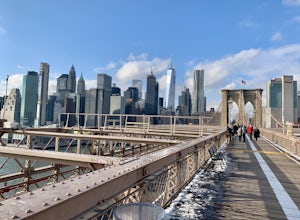
Brooklyn Bridge Walk via Brooklyn
4.71.12 mi / 0 ft gainBrooklyn Bridge Walk via Brooklyn is a point-to-point trail that takes you past scenic surroundings located near New York City, New York.Read more -
New York, New York
Explore the South Street Seaport
5.0Get a feel for what New York was like in the 19th century at the Seaport! The Seaport boasts some of the oldest buildings and architecture in Manhattan, and the area continues to bustle today. The Seaport borders the Financial District and the East River - so there are lots of wonderful sights to...Read more -
Brooklyn, New York
Brooklyn Botanical Gardens
5.01.34 mi / 75 ft gainBrooklyn Botanical Gardens is a loop trail that takes you by a lake located near New York City, New York.Read more -
Closter, New Jersey
Hike to Huyler's Landing/ Closter Dock Loop
4.05.4 mi / 450 ft gainThe easiest way to access this loop hike is by parking at the Palisades State Park Headquarters. This is just off exit 2 from the Palisades Interstate Parkway. Parking here is free and it is a short walk down a road to the Closter Dock Trail. The Closter Dock Trail is more of a wide fire road ...Read more -
Brooklyn, New York
Prospect Park Lake Loop
1.95 mi / 118 ft gainProspect Park Lake Loop is a loop trail that takes you by a lake located near New York City, New York.Read more -
Brooklyn, New York
Prospect Park Loop
4.03.65 mi / 223 ft gainThere are multiple places to enter Prospect Park. If you're looking for the main entrance to Prospect Park, it faces the stunning Soldiers' and Sailors' Arch in Grand Army Plaza. It is adjacent to the Brooklyn Botanical Garden, the flagship Brooklyn Public Library, and the Brooklyn Museum. As you...Read more -
Yonkers, New York
Run the Old Croton Aqueduct Trail
5.026.5 miThis trail traces the route of the Old Croton Aqueduct, which carried water to New York City between 1842 and 1955. Our recommended route starts near the Greystone Station in Yonkers, NY (Metro-North Hudson Line) and ends by the Scarborough Station, but you can easily modify your route – the enti...Read more -
Closter, New Jersey
Hike Alpine White Trail (Stateline Lookout)
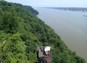
5.05 mi / -520 ft gainStarting at about 520 feet, the White path takes you along the Stateline Lookout which is a small stone building overlooking the Hudson River. The initial descent is your average hike through the woods and across a couple of wooden bridges until you reach the Giant Steps. The Giant Steps take you...Read more -
Rye, New York
Hike the Marshlands Conservancy Loop
4.01.55 mi / 125 ft gainLocated along the Long Island Sound, this 147-acre conservancy is home to a plethora of different birds, including marsh wrens, seaside sparrows, and American woodcocks. The conservancy has 3 miles of trails, all easy to navigate. Starting out from the visitor's center, take the trail to the rig...Read more -
Staten Island, New York
Sunrise and Sunset from the Staten Island Ferry
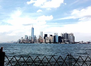
5.0The Staten Island Ferry is a passenger ferry that runs between the boroughs of Manhattan and Staten Island. From the deck of the ferry, you will have a perfect view of The Statue of Liberty and Ellis Island. You'll see the skyscrapers and bridges of Lower Manhattan receding as you pull away and c...Read more -
Brooklyn, New York
Camp at Floyd Bennett Field
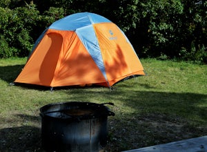
Brooklyn isn't just for the urban and trendy, its also for the people who love getting outside! Located just past the hustle and bustle of Brooklyn, Floyd Bennett Field is a National Recreation Area that features an Aviator Sports & Event Center (this was formerly an important NYC airport), t...Read more -
Paterson, New Jersey
Explore the Great Falls of the Passaic River
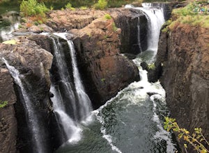
3.2Getting to the Great Falls of the Passaic River is a relatively straight shot. It is located off exit 57B on Route 80 which is also accessible from highway 287. Parking is located on McBride Avenue across the street from the park's welcome center.Typically during autumn park rangers offer 45 to 1...Read more -
Cedar Grove, New Jersey
Hike at Mills Reservation
4.72 mi / 200 ft gainMills Reservation is over 150 acres of wooded area located off of Normal Ave. near the Cedar Grove reservoir. Parking space is limited due to the small size but there is another hidden lot towards the back if you make a right out of the parking lot and then the first right turn onto Highland Ave....Read more -
Staten Island, New York
Hike the Staten Island Greenbelt
4.07.6 miThe white trail offers one of the two more ambitious hikes, passing through Egbertville Ravine, Heyerdahl Hill and Buck’s Hollow parks on Staten Island, offering an up-close view of the forest and marshland that once covered the island. About midway, the trail also passes the Greenbelt Nature Cen...Read more -
Briarcliff Manor, New York
Hike Kate Kennard Trail
1.8 mi / 140 ft gainIf you’re in the town of Briarcliff and looking for an easy local trail to try out, Kate Kennard Trail is good for getting in a quick run or walk. It’s a straight line path the whole way. You’ll know you’ve reached the end of the path when you see a sign that marks the beginning of a road leading...Read more -
608 Ramapo Valley Road, New Jersey
Hike the Halifax Trail and Ruins in the Ramapo Valley Reservation
8.25 mi / 500 ft gainTo start, I recommend coming in the early morning or afternoon, as the parking lot fills up with people hiking, fishing or going for a walk with their family. I usually get my luckiest before 9. This park is as relaxing or exciting as you want to make it. Here is a good map to use/ print out. We ...Read more

