Vadito, New Mexico
Top Spots in and near Vadito
-
Taos Ski Valley, New Mexico
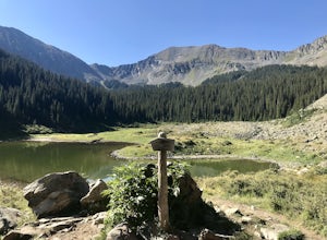
Hike to Williams Lake and Wheeler Peak
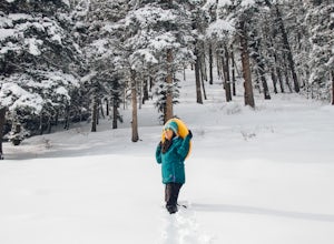
5.0This hike is conveniently located at Taos Ski Valley and offers two primary options: a fun 4-mile round trip hike to beautiful Williams Lake, or a 7-mile round trip hike all the way to the Wheeler Peak. You can’t go wrong with either option, but if you’re up for it, bagging Wheeler Peak is defini...Read more -
Santa Fe, New Mexico
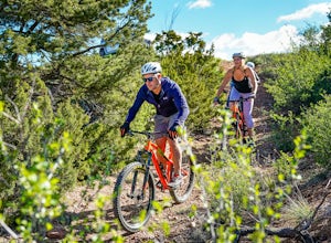
Mountain Bike Pacheco Canyon
8.1 mi / 2194 ft gainPacheco Canyon Road / Forest Service Road #102 leads from the foothills of the Sangre de Cristos deep into the mountains, beginning with breathtaking views across to Valles Caldera (particularly at sunset) and ending deep in the mountains near Big Tesuque Campground after more than 2100' of eleva...Read more -
Colfax County, New Mexico
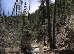
Hike to Clear Creek in Cimarron Canyon State Park
4.02.5 mi / 1000 ft gainHead North from Eagle Nest towards Cimarron, and about 7 miles (or less) on your right hand, you will find two big signs with a parking area on both sides of the road. If you park on the right side, walk on the inside of the guardrail until you find the trail head sign. If you parked on the left ...Read more -
Santa Fe, New Mexico
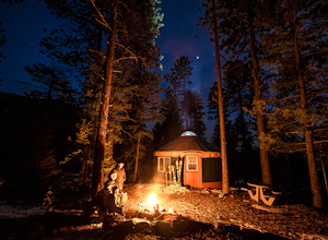
Stay in the Hyde State Park Yurts
Hyde Memorial State Park yurts are nestled high in the Sangre de Cristo mountains amongst the ponderosa pines, and sleep six and provide a modern setting with roots in ancient tradition. Their location in the State Park provide easy access to park's vast trail system.Each bed has an encapsulated...Read more -
Red River, New Mexico
Hike Colombine Trail
8.5 mi / 1935 ft gainThis moderate trail is accessed from the Columbine campground on Highway 38. It will be on your right side when traveling east from Questa. Drive to the back end of the campground, where there are several spaces for parking. The moderate version of this hike will travel about 4 miles south into t...Read more -
Questa, New Mexico
Camp at Rio Grande del Norte National Monument
4.32.4 mi / 800 ft gainCreated in 2013 from partly existing public lands, The Rio Grande del Norte National Monument encompasses a large amount of land along the Rio Grande River from the Colorado border to south of Taos. Far from any major city, you'll likely enjoy trails to yourself in the morning and few other visit...Read more -
Santa Fe, New Mexico
Hike to Picacho Peak and Atalaya Peak
5.0Begin this trail from the Cerro Gordo Trailhead which is only about 10 minutes from Santa Fe Plaza. You can park in the lot near the intersection of Cerro Gordo and Upper Canyon Rd. The lot will fill up on the weekends so arrive early. From the lot, take the short Nature Conservancy trail to the ...Read more -
Santa Fe, New Mexico
Trail Run the Dale Ball Trails
22 mi / 500 ft gainThe Dale Ball Trail system, covers a wide swath of terrain between Santa Fe County, the City of Santa Fe, the National Forest, and The Nature Conservancy with a 22 mile network of trails in the foothills of the Sangre de Cristo Mountains. Located a short distance from downtown Santa Fe, it is the...Read more -
Taos County, New Mexico
Ski Red River Ski Area
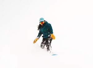
The resort itself, sits right in town, with 6 lifts. Two of the lifts come down to the river and access various parts of the town, it’s a place that makes you remember what skiing used to be like. The mountain has roughly 170 acres of skiable terrain, and appeals to those of all abilities. The u...Read more -
Santa Fe, New Mexico
Catch a sunset over the hills of Santa Fe
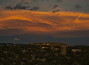
People come from all over the world to see sunsets in the southwest. This is a great little spot tucked away in a neighborhood I stayed in for a month. On Rodriguez street, there is a parking space for "visitors" of a particular house in the neighborhood (marked on the map). I didn't see a car t...Read more -
Red River, New Mexico
Sledding in Red River
If you’re looking for an alternative winter activity to indulge your need for gravity sports, you may take the time to rent a sled from Sitzmark’s for $5 and head over to the library to take your chance at reviving your childhood spirit! Heading to the library at the east end of town, you can fin...Read more -
Santa Fe, New Mexico
Photograph the Cathedral Basilica of St. Francis de Assisi
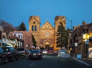
Along the downtown Santa Fe plaza, you will run into an obvious architectural beauty. It's the Cathedral Basilica of St. Francis de Assisi. It's placed perfectly in the plaza where the sunset will make the massive structure glow or have interesting shadows cast off its facade. The cathedral itse...Read more -
Santa Fe, New Mexico
Explore Canyon Road
Canyon Road in Santa Fe New Mexico, is home to one of the largest gatherings of fine art galleries featuring original work you'll find. Santa Fe is considered the 3rd largest distributor of art in the world, behind New York and Paris. The difference with Canyon Road is the unique environment tha...Read more -
Red River, New Mexico
Hike the Red River Nature Trail
2 miThe Red River Nature Trail starts right in town next to the Platinum Lift off Pioneer Road. The trail travels 2 miles to Goose Lake Road. The hike itself can be taken as a two or four mile hike, depending on weather you access it point to point or out and back. We started the trail behind the vis...Read more -
Red River, New Mexico
No Name Point
Not even a mile down Bitter Creek Rd, there’s a right-hand turn that takes you next to this spectacular rock outcropping. There's a little dirt parking area when you come down and around the turn that sits right next to Bitter Creek itself. It’d be a swell place hang out, play around on the roc...Read more -
Red River, New Mexico
Enchanted Forest Snowplay Area
Just above the town of Red River up Bobcat Pass is the Enchanted Forest. As you approach the top of the pass you’ll see signs that point you toward the forest into what looks like a neighborhood. Trust the signs and make the turn. Follow the main road up through the neighborhood and take your sec...Read more

