Placitas, New Mexico
Looking for the best hiking in Placitas? We've got you covered with the top trails, trips, hiking, backpacking, camping and more around Placitas. The detailed guides, photos, and reviews are all submitted by the Outbound community.
Top Hiking Spots in and near Placitas
-
Los Alamos, New Mexico
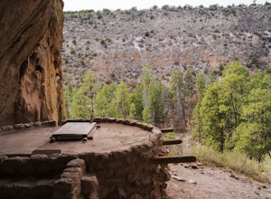
Hike to Alcove House
4.62.2 mi / 140 ft gainStart your hike from the Visitor's Center and head out on the Main Loop Trail to begin. You can hike the loop in either direction, either first crossing the river across from the Visitor's Center or heading out from directly behind the Center. If you start from across the river, you'll begin with...Read more -
Los Alamos, New Mexico
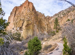
Hike the Main Loop Trail at Bandelier National Monument
5.01.2 mi / 150 ft gainBandelier National Monument encompasses over 33,000 acres of public land, including Frijoles Canyon, the home of the Ancestral Puebloans that once lived in the area. The park has miles of trails to explore the rugged countryside, but the main attractions are the cliff dwellings you'll find on the...Read more -
Jemez Springs, New Mexico
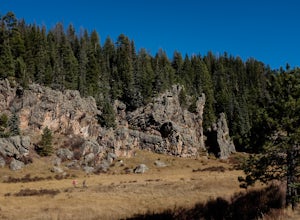
Climb Las Conchas
5.05 mi75 minutes north of Albuquerque, Las Conchas is a trailhead that sits right off the highway with two accessible, although small, parking lots. Right out of the gate the wide and well worn trail drops down to follow the river north through a wide mountain valley lined with large stands of trees, ...Read more -
Jemez Springs, New Mexico
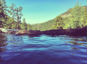
Dip into Spence Hot Springs
4.01.2 mi / 193 ft gainExit Interstate 550 and head North on Highway 4 heading towards Jemez Springs. The Spence Hot Springs Parking Lot and Trailhead is about 25 miles North off Highway 4. The trail starts on a decline into the canyon for about 800 feet before you cross the bridge over the scenic river. Continue follo...Read more -
Santa Fe, New Mexico
Hike to Picacho Peak and Atalaya Peak
5.0Begin this trail from the Cerro Gordo Trailhead which is only about 10 minutes from Santa Fe Plaza. You can park in the lot near the intersection of Cerro Gordo and Upper Canyon Rd. The lot will fill up on the weekends so arrive early. From the lot, take the short Nature Conservancy trail to the ...Read more -
Santa Fe, New Mexico
Trail Run the Dale Ball Trails
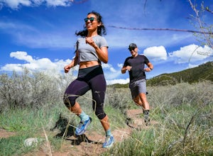
22 mi / 500 ft gainThe Dale Ball Trail system, covers a wide swath of terrain between Santa Fe County, the City of Santa Fe, the National Forest, and The Nature Conservancy with a 22 mile network of trails in the foothills of the Sangre de Cristo Mountains. Located a short distance from downtown Santa Fe, it is the...Read more -
Glorieta, New Mexico
Hike the Glorieta Battlefield Trail
2.25 mi / 500 ft gainThis trail is a little tricky to get to, so be sure to stop at the Pecos NHP Visitor Center first for directions. You will also need to retrieve a gate code from the ranger. I would recommend picking up a guide inside the Visitor Center so you know what you're looking at on the trail (important)....Read more -
Jemez Springs, New Mexico
San Antonio Hot Springs via Thompson Ridge Route
5.02.66 mi / 469 ft gainAlthough you can reach these hot springs via the main trail in the winter, the Thompson Ridge route is a shorter option that comes in from above the springs rather than below. If you go in winter, you'll need winter route finding skills for the trail (there's no signage at any point) and an all w...Read more -
Pecos, New Mexico
Ancestral Sites Trail
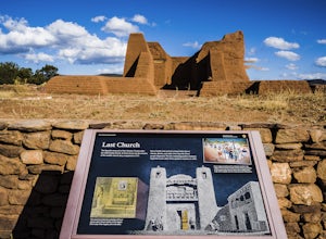
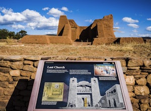
5.01.2 mi / 89 ft gainThe park is easy to get to from Santa Fe. It's about 30 miles SE on the I-25 highway that leads you through Pecos. Once at the park, the 1.25 mile loop trail begins and ends at the visitor center. Don't forget to stop in there. It's surprisingly nice with some terrific history of the area dating...Read more -
Pecos, New Mexico
Hike the Grand Slam in Pecos New Mexico
7.5 mi / 600 ft gainPecos National Historical Park offers up the "grand slam" for hiking, which is a bit of a misnomer because they only have 3 trails and a grand slam indicates you would have completed 4 of something. In order to achieve the "grand slam" you need to hike all 3 trails in one day, completing approxi...Read more -
Pecos, New Mexico
Hike the South Pasture Loop Trail
3.8 mi / 196 ft gainThe South Pasture Loop trail, while part of the Pecos NHP, isn't in the main park. Currently, this trail is only open on the weekends and the road gate closes at 1pm. The trail itself closes at 3pm, and takes about 2-3 hours unless you plan on hiking for speed. No pets allowed. 0.7 miles down th...Read more -
Jemez Springs, New Mexico
San Antonio Hot Springs
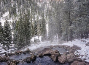
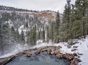
4.61.46 mi / 312 ft gainThese hot springs are a short hike from the parking area along the top of Forest Service Road 376. I've added additional details below in the event that the road is closed due to seasonality or you prefer to stretch your legs for a significantly longer, yet scenic hike. The GPX track is displayin...Read more -
Santa Fe, New Mexico
Hike Santa Fe Baldy
5.0Starting at an elevation of 10,000 feet at the Santa Fe Ski Basin, a right turn at the Winsor trail starts a steep climb for .5 miles until the wilderness boundary gate. From there, the trail descends slightly, taking a path along the ridge through mossy pines and emerald stones. A mile later, yo...Read more -
Santa Fe, New Mexico
Hike or Bike Aspen Vista
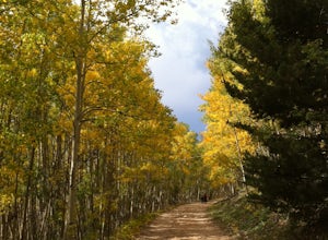
3.512.1 mi / 2100 ft gainAspen Vista Road (Forest Road 150) starts at an elevation of 10,000 feet and climbs up through a large stand of beautiful aspen and pine trees to the summit of Tesuque Peak at an elevation of 12,045 feet (note the Aspen grove is one large living being as all the roots are interconnected). These ...Read more -
Santa Fe County, New Mexico
Santa Fe Baldy Via Windsor Trail
13.55 mi / 3140 ft gainSanta Fe Baldy Via Windsor Trail is an out-and-back trail that provides a good opportunity to view wildlife located near Santa Fe, New Mexico.Read more -
Santa Fe, New Mexico
Backpack to Lake Katherine in the Pecos Wilderness
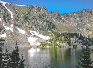
5.016 mi / 1450 ft gainAccessible June through October, snow lingers on the trail late into the summer. This is a very popular, well-marked route so if it's solitude you're seeking, you'll probably be disappointed. At least on the weekend.The trailhead is at the parking lot for Ski Santa Fe. You'll climb from 10,250 to...Read more

