Top Spots in and near Petroglyph National Monument
-
Jemez Pueblo, New Mexico
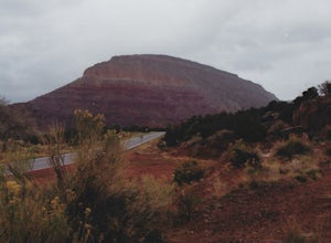
Start your road trip at the Pueblo Visitor Center. You can stop at the Jemez State Monument to visit the old ruins of the Mission. Then head to the Jemez Falls. Continue the drive through beautiful red rock scenery to Los Alamos and Bandelier National Monument.
Read more
-
Jemez Springs, New Mexico
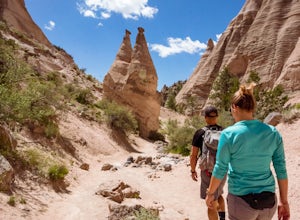
Hiking at Tent Rocks is a must-do for anyone in the northern New Mexico area. It's an accessible trail that gives you incredible rewards with little effort. The cone-shaped "tent rocks" are the result of erosion following a volcanic explosion 6-7 million years ago, making for some incredible and ...
Read more
-
Jemez Springs, New Mexico
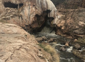
For the past 7,000 years, calcium carbonate at this spot in northern New Mexico. And after all those centuries, it has formed into a natural bridge across the Jemez river, roughly 300 feet in length.
Drive northeast from Jemez Springs on New Mexico State Route 4. Just under 2 miles later, the fo...
Read more
-
Jemez Springs, New Mexico
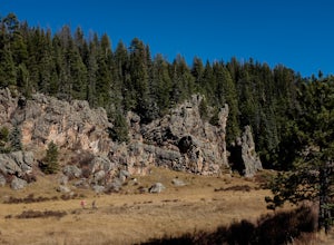
75 minutes north of Albuquerque, Las Conchas is a trailhead that sits right off the highway with two accessible, although small, parking lots. Right out of the gate the wide and well worn trail drops down to follow the river north through a wide mountain valley lined with large stands of trees, ...
Read more
-
Jemez Springs, New Mexico
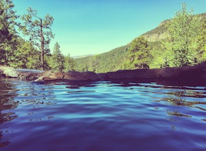
Exit Interstate 550 and head North on Highway 4 heading towards Jemez Springs. The Spence Hot Springs Parking Lot and Trailhead is about 25 miles North off Highway 4. The trail starts on a decline into the canyon for about 800 feet before you cross the bridge over the scenic river. Continue follo...
Read more

