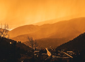
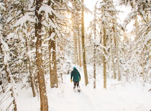
Ojo Caliente, New Mexico
Top Spots in and near Ojo Caliente
-
La Senda de Medio Trailhead, New Mexico
Hike La Senda de Medio Trail
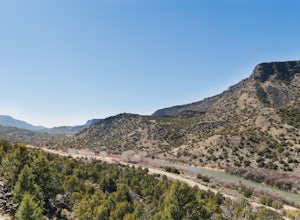
5 miIf you find yourself in Taos for the weekend, the La Senda del Medio trail is a perfect hike to add to your adventure. About 20 minutes south of town and located in Rio Grande del Norte National Monument, this trail follows the Rio Grande for 2.5 miles and connects 5 different campgrounds. The tr...Read more -
El Prado, New Mexico
Photograph the Rio Grande Gorge Bridge
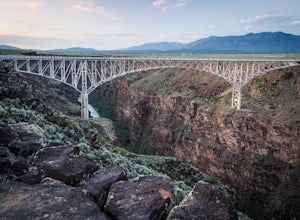
4.6Completed in 1965, the Rio Grande Gorge Bridge is the seventh highest bridge in the United States. The design is a steel deck arch bridge than spans 1280 feet and sits 565 feet high. The bridge has sidewalks and viewpoints of the gorge on each side with parking at the Rio Grande Gorge Rest Area p...Read more -
El Prado, New Mexico
Hike the Rio Grande Gorge Bridge Trail
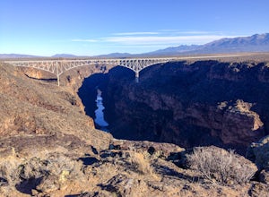
6 miDrive 12 miles west of Taos, New Mexico on US Hwy 64, and you'll drive directly onto the Rio Grande Gorge Bridge that spans 1,280 feet. There's a rest area to the west of the bridge with a parking lot, sitting area, and if you're lucky like we were, a converted sky blue bus selling homemade desse...Read more -
El Prado, New Mexico
Manby Hot Springs
2.31.5 mi / 300 ft gainNOTE: The Hot Springs are on private property and are no longer accessible to the public. The Basics: Hot springs abound in the Taos area. From the all-inclusive (and expensive) Ojo Caliente Mineral Springs Resort to free, primitive hot springs like this one or neighboring Black Rock Hot Spr...Read more -
5 Reyna Road, New Mexico
Relax in Black Rock Hot Springs
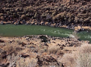
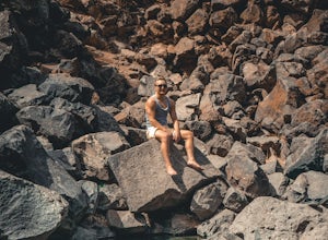
0.3 mi / 68 ft gainAt the last switchback on Country Road B-007, is where the trailhead is located. if you've gone to the lowest point possible within the canyon, right next to the river, you have gone too far and need to turn around to the last switchback. it is an easy .3 Mile trail with a 68 foot elevation drop/...Read more -
Abiquiu, New Mexico
Hike to Chimney Rock at Ghost Ranch
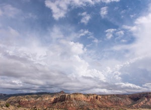
4.53 mi / 600 ft gainStart your adventure by checking in at the Ghost Ranch Visitor Center, then find the trailhead just behind the building. You'll quickly drop down through an arroyo and then walk through a gate. The trail begins to climb briefly then flattens out with beautiful views across to Pedernal and the Pie...Read more -
25 ABC Mesa road, New Mexico
Hotel Luna Mystica & Starlight Campground
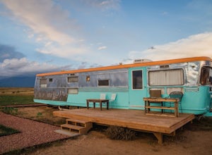
5.0Located just Northwest of Taos, New Mexico you can find Hotel Luna Mystica. This is a one of a kind "hotel" site, which is just a site where you can rent out old but renovated trailers to stay in. Have you ever wanted to get a taste of the RV/Trailer life? this is the perfect place to do so. Loca...Read more -
Taos, New Mexico
Drive the Enchanted Circle Scenic Byway
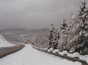
Start the drive at the Taos Plaza in downtown Taos. You can drive the whole loop and enjoy the beautiful scenery and small villages along the way. In the spring, there may still be snowfall, making the drive even more beautiful.Read more -
Chamisal, New Mexico
Hike to the Trampas Lakes in Carson National Forest
4.911 mi / 2400 ft gainThis hike is worth its weight in gold. By far one of the most beautiful places in all of New Mexico. Located in the Carson National Forest, the options for camping are limitless. Did I mention this is ranked one of New Mexico's best hikes yet it rarely gets done. The potential for solitude is ver...Read more -
U.S. Highway 64, New Mexico
Devisadero Peak
5.48 mi / 1375 ft gainThe Basics: 8,304 foot Devisadero Peak, which literally translates to "lookout," does not actually provide a great view from its treed summit. However, this lollipop loop hike has many vantage points over the Taos Valley as it snakes up and around this foothill mountain. To get to the trailhea...Read more -
Questa, New Mexico
Camp at Rio Grande del Norte National Monument
4.32.4 mi / 800 ft gainCreated in 2013 from partly existing public lands, The Rio Grande del Norte National Monument encompasses a large amount of land along the Rio Grande River from the Colorado border to south of Taos. Far from any major city, you'll likely enjoy trails to yourself in the morning and few other visit...Read more -
Arroyo Seco, New Mexico
Camp at Cuchillo del Medio
Drive towards the Taos ski area, passing through Arroyo Seco on NM-150 North. Four miles up this road, the Cuchillo del Medio campsites will be on the southeast side of the road. There are two sections of campsites, with side-by-side entrances. (Note: the southern section is currently closed due ...Read more -
Los Alamos, New Mexico
Climb in Diablo Canyon
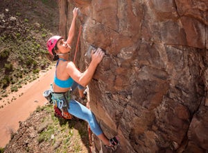
Diablo Canyon has grown in popularity over the last decade, particularly due to its frequent appearance in television and films. It has hundreds of sport and trad climbs of varying difficulty on basalt cliffs that reach over 300 feet high, with approaches varying from 5 to 30 minutes.Grades range...Read more -
Santa Fe, New Mexico
Mountain Bike Pacheco Canyon
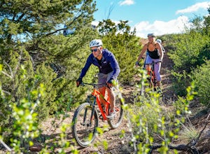
8.1 mi / 2194 ft gainPacheco Canyon Road / Forest Service Road #102 leads from the foothills of the Sangre de Cristos deep into the mountains, beginning with breathtaking views across to Valles Caldera (particularly at sunset) and ending deep in the mountains near Big Tesuque Campground after more than 2100' of eleva...Read more -
Santa Fe County, New Mexico
Santa Fe Baldy Via Windsor Trail
13.55 mi / 3140 ft gainSanta Fe Baldy Via Windsor Trail is an out-and-back trail that provides a good opportunity to view wildlife located near Santa Fe, New Mexico.Read more -
Santa Fe, New Mexico
Hike Santa Fe Baldy
5.0Starting at an elevation of 10,000 feet at the Santa Fe Ski Basin, a right turn at the Winsor trail starts a steep climb for .5 miles until the wilderness boundary gate. From there, the trail descends slightly, taking a path along the ridge through mossy pines and emerald stones. A mile later, yo...Read more
Top Activities
Camping and Lodging in Ojo Caliente
Gallina, New Mexico
Riana Abiquiu Lake
Overview
Riana Campground is located on a 150 ft. bluff overlooking the scenic Abiquiu Lake in northern New Mexico, just one hour northwe...
Tres Piedras, New Mexico
Aldo Leopold Cabin
Overview
NOT CURRENTLY ACCEPTING RESERVATIONS.
Recreation
Facilities
Natural Features
Nearby Attractions
Vadito, New Mexico
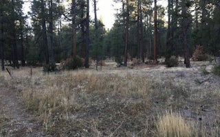
Amole Canyon Group Shelter
Overview
NOT CURRENTLY ACCEPTING RESERVATIONS / NOT OPEN FOR PUBLIC USE. PROJECTED OPENING 2020The Amole Group Shelter is located immedi...
Nambe, New Mexico
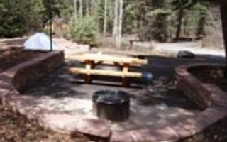
Black Canyon
Overview
Black Canyon Campground is in a great location to experience some of the finest mountain scenery the Southwest has to offer. The...
Vadito, New Mexico
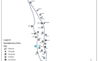
Santa Barbara Campground
Overview
Santa Barbara Campground is situated nicely on the edge of the Pecos Wilderness area and next to Rio Santa Barbara, a beautiful ...
Tierra Amarilla, New Mexico
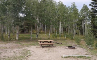
Hopewell Lake Campground
Overview
Hopewell Lake Campground sits next to its scenic namesake lake between Tres Piedras and Tierra Amarilla in northern New Mexico. ...

