West Milford, New Jersey
Looking for the best hiking in West Milford? We've got you covered with the top trails, trips, hiking, backpacking, camping and more around West Milford. The detailed guides, photos, and reviews are all submitted by the Outbound community.
Top Hiking Spots in and near West Milford
-
Dingmans Ferry, Pennsylvania
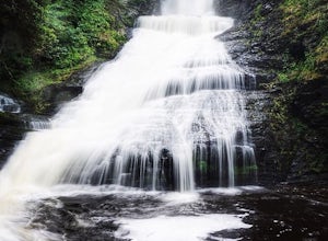
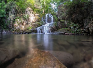
Explore Dingmans Falls
3.80.4 miThe waterfall is about 0.2 miles into the hike. I would recommend going to the very top of the biggest waterfall towards the end of the hike, there are steps leading up to it! There's also a hidden water hole at the very top of the waterfall about 0.2 miles up stream, I saw people in it during th...Read more -
Englewood Cliffs, New Jersey
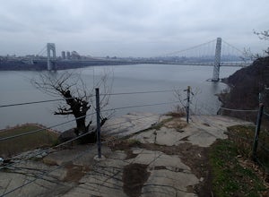
Hike the Dyckman Hill/Carpenter's Grove Loop
4.04 mi / 400 ft gainThis loop hike can be started from several different places. I chose to start from Allison Park which overlooks the Hudson River in Englewood Cliffs, NJ. From the parking area, walk out to the entrance road and travel south to Saint Peter's College. The Long Path Trail, which you join from All...Read more -
Dingmans Ferry, Pennsylvania
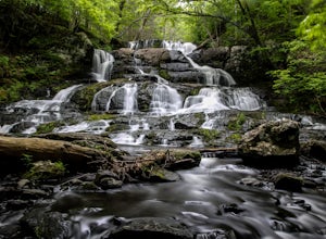
Hike to Indian Ladder Falls Along Hornbecks Creek
3.52 mi / 400 ft gainFor some time, the trail was eroded above the first falls on Hornbecks Creek, not allowing hikers to access the creek's upper falls if they were coming upstream from Route 209. I am writing this in June 2017 and that is no longer the case! You can hike from Rt. 209 all the way up the creek to Eme...Read more -
Lehman township, Pennsylvania
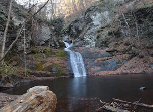
Hike to Hornbeck's Creek Waterfall
4.31.2 miGPS Coordinates: 41.187148,-74.885454Driving Directions: From 209, enter into the Delaware Water Gap and in between the 10 and 11 mile markers you will see a sign for Hornbecks Creek with a gravel road adjacent to it. Follow the road back until you reach the parking lot and the trail will be to t...Read more -
Cold Spring, New York
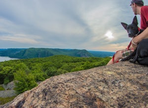
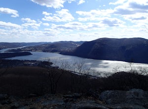
Mt. Taurus (Bull Hill)
4.53.52 mi / 1375 ft gainMt. Taurus (or Bull Hill) is a short, family and dog friendly, hike just outside the town of Cold Spring, easily accessible by car or taking the train into town. It snakes along the edge of an old quarry that is just now being retaken by nature and provides lookouts towards the Hudson, other near...Read more -
Cold Spring, New York
Hike the Cornish/Brook/Notch/Washburn/Undercliff Loop
8 mi / 1500 ft gainThis loop is a great option to avoid crowds on the west side of the Washburn trail. Start at the same trailhead for the Washburn Trail. The Cornish Trail is on the left and there is an obvious sign at the trail split a few feet from the parking area. The Cornish Trail is an old road from about...Read more -
Cold Spring, New York
Hike the Washburn/Nelsonville/Undercliff Loop
7.2 mi / 2000 ft gainThis is a difficult loop hike that has several different starting points. I chose to start at the Washburn Trail Head, which is the lowest starting point you can select. Nearly on the Hudson River, the trail ascends immediately along a well maintained road designated by white disc markers. Aft...Read more -
Cold Spring, New York
Photograph Indian Brook Falls
2.8This is about as short a walk and as little effort as you can put in for a beautiful waterfall. You can barely call it a hike, but I'll list it as such since you do walk through the woods for 5 minutes. The trail is extremely well built, and is pretty easily accessible through the winter.The trai...Read more -
Cold Spring, New York
Sugarloaf Mountain and Breakneck Ridge Loop
4.74.33 mi / 1562 ft gainThe Breakneck Ridge to Sugar Loaf Loop gives rise to various bypasses that offer hikers moderate to advanced terrain and multiple rock scrambles. The loop entails a total elevation gain of 1,670 feet and a total distance of 5.5 miles. The start of the trail begins at the (white blazes) at the no...Read more -
Cold Spring, New York
Breakneck Ridge Loop
5.05.91 mi / 1526 ft gainThis short but steep loop hike in Hudson Highlands State Park offers multiple panoramic views of the Hudson River along the way. Please note that only experienced hikers should attempt this route – although the hike seems short, the elevation gain and steep rocky scrambles offer serious technical...Read more -
Gillette, New Jersey
Great Swamp National Wildlife Refuge Loop
5.00.94 mi / 43 ft gainNestled within the more urban and suburban communities in Northern New Jersey, you can escape back to nature at Great Swamp National Wildlife Refuge. The name says it all - this place is the perfect opportunity to get up close to a variety of different wildlife that call this protected land home....Read more -
Dingmans Ferry, Pennsylvania
Explore George W Child's Park
4.01.4 mi / 144 ft gainOnce parked, enter the trailhead and follow the trail down Dingmans Creek to the first set of falls. Try taking pictures from off the trail to the right of these falls. Continue on to the second waterfall and again step off the trail to take pictures from the right side of the waterfall, if you d...Read more -
Beacon, New York
Sunset Point - South Beacon Mountain Loop
4.08.92 mi / 2470 ft gainThis loop hike form the Notch Trail northern trailhead on Route 9D. There is enough parking at this trailhead for about 5-6 cars. The Notch Trail is identified with blue trail markers. It is well maintained and plenty of markers to guide your way. This is important because there are m...Read more -
Beacon, New York
Sugarloaf Mountain via Wilkinson Memorial Trail
5.02.15 mi / 820 ft gainTrail is currently closed. Get updates at parks.ny.gov. Sugarloaf Mountain is part of the Hudson Highlands State Park, along with Breakneck Ridge, Bull Hill, and Mt Beacon. Though the views are just as impressive as its sister trails, it is never as crowded and it's one of my favorite spots in ...Read more -
New York, New York
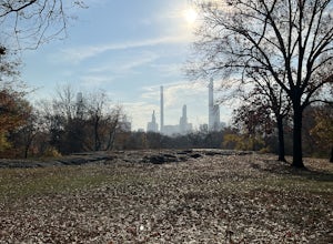
Northwest Central Park Loop
3.63 mi / 164 ft gainNorthwest Central Park Loop is a loop trail that takes you by a lake located near New York City, New York.Read more -
New York, New York
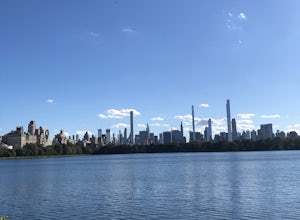
Jacqueline Kennedy Onassis Reservoir Running Path
5.01.68 mi / 69 ft gainJacqueline Kennedy Onassis Reservoir Running Path is a loop trail that takes you by a lake located near New York City, New York.Read more

