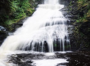
Oakland, New Jersey
Looking for the best photography in Oakland? We've got you covered with the top trails, trips, hiking, backpacking, camping and more around Oakland. The detailed guides, photos, and reviews are all submitted by the Outbound community.
Top Photography Spots in and near Oakland
-
Staten Island, New York
Hike the Staten Island Greenbelt
4.07.6 miThe white trail offers one of the two more ambitious hikes, passing through Egbertville Ravine, Heyerdahl Hill and Buck’s Hollow parks on Staten Island, offering an up-close view of the forest and marshland that once covered the island. About midway, the trail also passes the Greenbelt Nature Cen...Read more -
Cornwall, New York
Hike the North Point Loop
6.5 mi / 1400 ft gainThere is three different trailheads to access the North Point Loop. I chose the trailhead that would give me the longest hike. That would be the Butter Hill parking area on Route 9W north. From the parking lot, start on the connector trail designated with white markers. Follow this for about ...Read more -
Cornwall, New York
Storm King Mountain Loop
4.52.44 mi / 400 ft gainThis is an easy, yet very rewarding hike with a lot of viewpoints on the way up. Technically you scale up two mountains, Butter Hill and Storm King, but most people just describe it as Storm King Mountain. This is a great hike for families with younger kids, those who don't have much time but wan...Read more -
Cornwall-on-Hudson, New York
Hike the Stillman - Bluebird Loop
5.4 mi / 1200 ft gainThis loop hike starts at the northern trailhead of the park where the Stillman Trail begins. The parking area has enough space for only 6 or 7 cars. Start off on a wide maintained carriage road. After about a half mile, the Stillman Trail (yellow markers) breaks of to the left. However, stay ...Read more -
Cold Spring, New York
Photograph Indian Brook Falls
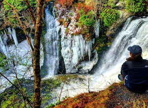
2.8This is about as short a walk and as little effort as you can put in for a beautiful waterfall. You can barely call it a hike, but I'll list it as such since you do walk through the woods for 5 minutes. The trail is extremely well built, and is pretty easily accessible through the winter.The trai...Read more -
Sandyston, New Jersey
Explore the Sussex County Sunflower Maze
5.03 miI stumbled upon the Sunflower Maze by accident when I was driving through NJ and was quickly distracted by the enormous yellow flowers. So of course, I had to check it out! It opens at 9AM and last admission is at 6PM. The maze is only open from around August to October for the flower bloom. 3...Read more -
Cold Spring, New York
Hike the Cornish/Brook/Notch/Washburn/Undercliff Loop
8 mi / 1500 ft gainThis loop is a great option to avoid crowds on the west side of the Washburn trail. Start at the same trailhead for the Washburn Trail. The Cornish Trail is on the left and there is an obvious sign at the trail split a few feet from the parking area. The Cornish Trail is an old road from about...Read more -
Cold Spring, New York
Hike the Washburn/Nelsonville/Undercliff Loop
7.2 mi / 2000 ft gainThis is a difficult loop hike that has several different starting points. I chose to start at the Washburn Trail Head, which is the lowest starting point you can select. Nearly on the Hudson River, the trail ascends immediately along a well maintained road designated by white disc markers. Aft...Read more -
Cold Spring, New York
Sugarloaf Mountain and Breakneck Ridge Loop
4.74.33 mi / 1562 ft gainThe Breakneck Ridge to Sugar Loaf Loop gives rise to various bypasses that offer hikers moderate to advanced terrain and multiple rock scrambles. The loop entails a total elevation gain of 1,670 feet and a total distance of 5.5 miles. The start of the trail begins at the (white blazes) at the no...Read more -
Beacon, New York
Sunset Point - South Beacon Mountain Loop
4.08.92 mi / 2470 ft gainThis loop hike form the Notch Trail northern trailhead on Route 9D. There is enough parking at this trailhead for about 5-6 cars. The Notch Trail is identified with blue trail markers. It is well maintained and plenty of markers to guide your way. This is important because there are m...Read more -
Beacon, New York
Sugarloaf Mountain via Wilkinson Memorial Trail
5.02.15 mi / 820 ft gainTrail is currently closed. Get updates at parks.ny.gov. Sugarloaf Mountain is part of the Hudson Highlands State Park, along with Breakneck Ridge, Bull Hill, and Mt Beacon. Though the views are just as impressive as its sister trails, it is never as crowded and it's one of my favorite spots in ...Read more -
Dingmans Ferry, Pennsylvania
Canoe and Camp in the Delaware Water Gap
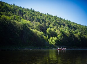
4.7This is one of those easy, simple and truly relaxing adventures you can embark on this summer. Thanks to outfitters such as Kittatinny Canoes you'll have everything ready for you when you arrive, minus of course your camping gear. They will pick you up at the destination of your choice along the ...Read more -
Lehman township, Pennsylvania
Hike to Hornbeck's Creek Waterfall
4.31.2 miGPS Coordinates: 41.187148,-74.885454Driving Directions: From 209, enter into the Delaware Water Gap and in between the 10 and 11 mile markers you will see a sign for Hornbecks Creek with a gravel road adjacent to it. Follow the road back until you reach the parking lot and the trail will be to t...Read more -
Milford, Pennsylvania
Explore Raymondskill Falls
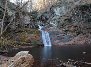
4.00.6 mi / 178 ft gainThis waterfall is just a short walk away from the main parking lot.Just a .30 mile hike will take you to a gorgeous three-tiered waterfall. There are platforms providing viewing areas to the falls.Raymondskill Falls is located in the northern portion of the Delaware National Water Gap Recreationa...Read more -
Milford, Pennsylvania
Hike to Cliff Park Ridge
5.06.4 mi / 700 ft gainThis 6.4 mile out-and-back trail (2.7 miles each way) is an excellent trail for those looking to spend an early morning or afternoon outside without the strenuousness of all-out mountain hiking. Throughout the entire hike, there is only 700 ft. of elevation gain. Don't let this turn you away if y...Read more -
Dingmans Ferry, Pennsylvania
Explore Dingmans Falls
3.80.4 miThe waterfall is about 0.2 miles into the hike. I would recommend going to the very top of the biggest waterfall towards the end of the hike, there are steps leading up to it! There's also a hidden water hole at the very top of the waterfall about 0.2 miles up stream, I saw people in it during th...Read more

