Mendham, New Jersey
Top Spots in and near Mendham
-
Staten Island, New York
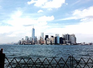
Sunrise and Sunset from the Staten Island Ferry
5.0The Staten Island Ferry is a passenger ferry that runs between the boroughs of Manhattan and Staten Island. From the deck of the ferry, you will have a perfect view of The Statue of Liberty and Ellis Island. You'll see the skyscrapers and bridges of Lower Manhattan receding as you pull away and c...Read more -
Sandyston, New Jersey
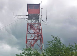
Hike the AT to Culvers Lookout Tower
3.2 miStart your journey in Stokes State Forest at the Culver Gap Parking Lot, located at 41.180239, -74.787954. From the parking lot, jump on over to the Appalachian Trail and hike Northbound. You know you're headed the right way if you are going away from the small town and cross over Sunrise Mountai...Read more -
Delaware Water Gap National Recreation Area, Pennsylvania
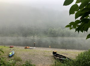
Kayak/Camp in the Delaware Water Gap
5.026 miTake a multi-day kayak or canoe trip in the Delaware Water Gap! Starting at the launch area at Milford Beach, you can kayak downstream in remote waters for 12-13 miles before you reach campsites for your first night of camping on the water. The next day, you can kayak about 6-7 more miles before ...Read more -
Bloomsbury, New Jersey
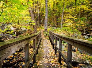
Hiking in Musconetcong Gorge Preserve
3.3Start out on Ridge Trail (yellow blazes), found at the rear of the parking lot. Shortly, you will come to a stream crossing, followed by a set of wooden steps. Just before the next stream, turn left following the white blazes. This section of the trail makes a moderately rocky descent, as it foll...Read more -
Columbia, New Jersey
Hike the Mount Mohican-Raccoon Ridge Traverse
7.5 mi / 1500 ft gainThis point to point hike can be done in either direction. There is parking at the entrance to Worthington Campground. Cross Old Mine Road and start up the Garvey Spring Trail (orange markers). The trail passes Laurel Falls on the right then ascends steeply until you reach an old forest road. The...Read more -
608 Ramapo Valley Road, New Jersey
Hike the Halifax Trail and Ruins in the Ramapo Valley Reservation
8.25 mi / 500 ft gainTo start, I recommend coming in the early morning or afternoon, as the parking lot fills up with people hiking, fishing or going for a walk with their family. I usually get my luckiest before 9. This park is as relaxing or exciting as you want to make it. Here is a good map to use/ print out. We ...Read more -
Columbia, New Jersey
Hike Mount Tammany's Red Dot and Blue Dot Loop
4.53.3 mi / 1197 ft gainMount Tammany located in the Delaware Water Gap is a very exciting hike. Short in length but with steep, rocky uphill portions this becomes more of a challenging trek. This hike allows for amazing views of the Delaware River, Route 80, and Mount Minsi on the other side. The summit makes for an aw...Read more -
Columbia, New Jersey
Hike Mt. Tammany via Red Dot Trail
4.62.3 mi / 1115 ft gainThis is a short but strenuous hike to a bluff overlooking the Delaware River and surrounding mountains and hills. The summit makes a good spot for a picnic or just for relaxing and watching the sunset. The entire hike also has plenty of beautiful photo ops, especially in the Fall. Find the trailh...Read more -
Columbia, New Jersey
Hike to Sunfish Pond
4.57.9 mi / 1150 ft gainAt the end of the parking lot, cross over the bridge and follow the Appalachian Trail (AT, white blazes) to a V-intersection. Turn right onto Dunnfield Creek Trail (green blazes), which will take you past a few cascades and up to Sunfish Pond. Relax and eat lunch at the pond. When you're ready, t...Read more -
Hardwick Township, New Jersey
Sunfish Pond via Red Dot, Tammany Fire Road, Turquoise and Dunnfield Creek Trail
5.010.54 mi / 1434 ft gainSunfish Pond via Red Dot, Tammany Fire Road, Turquoise and Dunnfield Creek Trail is a loop trail that takes you by a lake located near Pahaquarry, New Jersey.Read more -
Weehawken, New Jersey
Photograph the NYC Skyline from JFK Boulevard East
The Big Apple. NYC has arguably the best skyline in the world. So, if you are one of the millions of people visiting wouldn't you want to get some photos of the entire skyline to post on social media and show friend & family? Skip the boat and helicopter tour lines (although a cool experience...Read more -
Lehman township, Pennsylvania
Hike to Hornbeck's Creek Waterfall
4.31.2 miGPS Coordinates: 41.187148,-74.885454Driving Directions: From 209, enter into the Delaware Water Gap and in between the 10 and 11 mile markers you will see a sign for Hornbecks Creek with a gravel road adjacent to it. Follow the road back until you reach the parking lot and the trail will be to t...Read more -
Ringwood, New Jersey
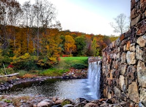
Explore Ringwood Manor State Park
5.01.3 miOn my way to the drive-in, I saw a sign for Ringwood Manor estate and wanted to adventure around. The parking is easy and the property was beautiful!As we walked through the estate, we found:a quaint tree foresta small cemetery with headstones hundreds of years olda river with a small waterfall ...Read more -
New York, New York
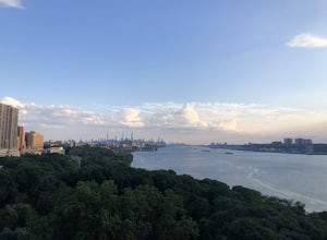
Walk the George Washington Bridge at Sunset
3.00.9 miJoin the thousands of people who cross the GWB each day, but do it by foot! This is an easy walk with beautiful views of the New York City skyline. You will begin seeing signs for the bridge bike path at Ft. Washington St. & E. 177th St., which you follow for a few blocks until you begin asce...Read more -
Princeton, New Jersey
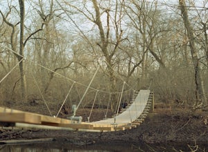
Visit the Princeton Battlefield Park Suspension Bridge
4.80.5 miTo find this bridge, you essentially park at the Princeton Battlefield Park and walk all the way down towards the woods (you'll pass an old house if you're going the right way). When you enter the woods there will be a tight trail but it will quickly open up. When it does, you want to take a left...Read more -
New York, New York
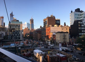
High Line
4.61.47 mi / 26 ft gainBuilt on a historic freight rail line and perched above the streets of Manhattan’s West Side, the High Line is a public park that features a green-lined walkway. Park hours depend on the season, although it never opens before 7am, so best to go for sunset. Although you may have some company on wa...Read more

