Chester, New Jersey
Looking for the best photography in Chester? We've got you covered with the top trails, trips, hiking, backpacking, camping and more around Chester. The detailed guides, photos, and reviews are all submitted by the Outbound community.
Top Photography Spots in and near Chester
-
Washington Township, New Jersey
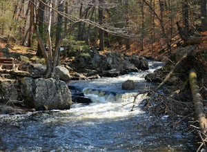
Hike Hacklebarney State Park's Trout Brook Riverbanks
5.0This is a relatively easy hike through Hacklebarney State Park that is great for families with younger children, rock scrambling, photography, and just hanging out in nature. There are two different ways to explore Hacklebarney, either by staying on the packed gravel path or by following the bank...Read more -
Califon, New Jersey
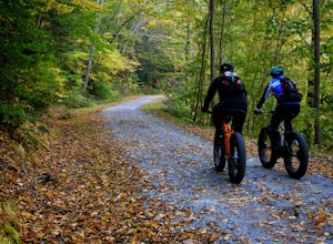
Bike the Columbia Trail: Califon to High Bridge
There are multiple places to pick up the Columbia Trail (High Bridge, Califon, Long Valley, Flanders) but this post is for biking or running from Califon to High Bridge and back. The best place to park is at the old town railroad station on, of course, Railroad Ave. You will be able to see the en...Read more -
Califon, New Jersey
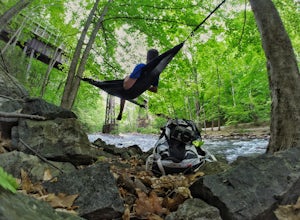
Explore the Ken Lockwood Gorge
4.3One of New Jerseys best kept secrets has to be the Ken Lockwood Gorge. If you are looking for a relaxing, beautiful, and nature packs place then this area is perfect for you. You can access the gorge from two different points, either by driving down Raritan River Rd. and parking right before you ...Read more -
Gillette, New Jersey
Great Swamp National Wildlife Refuge Loop
5.00.94 mi / 43 ft gainNestled within the more urban and suburban communities in Northern New Jersey, you can escape back to nature at Great Swamp National Wildlife Refuge. The name says it all - this place is the perfect opportunity to get up close to a variety of different wildlife that call this protected land home....Read more -
Rockaway, New Jersey
Hike the Timberbrook Pond - Riley's Rise Loop
5 mi / 500 ft gainThe trailhead parking is at the end of Timberbrook Road, before the road enters Camp Winnebago (Boy Scouts). I hiked this in a clockwise directions starting on the Timberbrook Trail (yellow markers). After about 1 mile the trail ends at a junction with the Four Birds Trail (white markers). Turn...Read more -
Jefferson, New Jersey
Thru Hike the Four Birds Trail
19 mi / 1200 ft gainThe Four Birds Trail is about 19 miles long and is a great thru hike or can be done in sections as out and back hikes or part of loop hikes with other trails. Starting from the north, the trail ascends gradually over easy terrain until you reach a cliff ridge. There are several good view points...Read more -
89 Van Orden Road, New Jersey
Hike the Hank's Pond Loop
7 mi / 500 ft gainHank's Pond loop can be accessed from the south at the corner of Clinton road and Van Orden road or from the north, parking at the lot on Stephens road. I hiked from the south on this trip. Follow the wide trail known as Hank's East trail marked with white blazes. Soon you will reach a trail c...Read more -
Columbia, New Jersey
Hike the Mount Mohican-Raccoon Ridge Traverse
7.5 mi / 1500 ft gainThis point to point hike can be done in either direction. There is parking at the entrance to Worthington Campground. Cross Old Mine Road and start up the Garvey Spring Trail (orange markers). The trail passes Laurel Falls on the right then ascends steeply until you reach an old forest road. The...Read more -
Hopewell, New Jersey
Hike through the Sourland Mountain Preserve
5.02.91 miThe Sourland Mountain Preserve stretches from Hunterdon County all the way into Somerset County. The trails referenced here are on the southwest side of the preserve in Hunterdon County. They are accessible from an on site parking lot at 233 Rileyville Road in Ringoes NJ.There are several trails ...Read more -
Columbia, New Jersey
Hike Mount Tammany's Red Dot and Blue Dot Loop
4.53.3 mi / 1197 ft gainMount Tammany located in the Delaware Water Gap is a very exciting hike. Short in length but with steep, rocky uphill portions this becomes more of a challenging trek. This hike allows for amazing views of the Delaware River, Route 80, and Mount Minsi on the other side. The summit makes for an aw...Read more -
Columbia, New Jersey
Hike Mt. Tammany via Red Dot Trail
4.62.3 mi / 1115 ft gainThis is a short but strenuous hike to a bluff overlooking the Delaware River and surrounding mountains and hills. The summit makes a good spot for a picnic or just for relaxing and watching the sunset. The entire hike also has plenty of beautiful photo ops, especially in the Fall. Find the trailh...Read more -
Columbia, New Jersey
Hike to Sunfish Pond
4.57.9 mi / 1150 ft gainAt the end of the parking lot, cross over the bridge and follow the Appalachian Trail (AT, white blazes) to a V-intersection. Turn right onto Dunnfield Creek Trail (green blazes), which will take you past a few cascades and up to Sunfish Pond. Relax and eat lunch at the pond. When you're ready, t...Read more -
Cedar Grove, New Jersey
Hike at Mills Reservation
4.72 mi / 200 ft gainMills Reservation is over 150 acres of wooded area located off of Normal Ave. near the Cedar Grove reservoir. Parking space is limited due to the small size but there is another hidden lot towards the back if you make a right out of the parking lot and then the first right turn onto Highland Ave....Read more -
Bangor, Pennsylvania
Hike Mount Minsi
3.6This is a great 5.5 mile hike at the Delaware Water Gap. You follow the Appalachian Trail the entire time (white marked trail) as it climbs to the top on Mt Minsi. There are multiple viewpoints on your way up that provide a great view of the water gap as well as some very picturesque trail points...Read more -
Sandyston, New Jersey
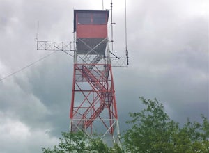
Hike the AT to Culvers Lookout Tower
3.2 miStart your journey in Stokes State Forest at the Culver Gap Parking Lot, located at 41.180239, -74.787954. From the parking lot, jump on over to the Appalachian Trail and hike Northbound. You know you're headed the right way if you are going away from the small town and cross over Sunrise Mountai...Read more -
Lehman township, Pennsylvania
Hike to Hornbeck's Creek Waterfall
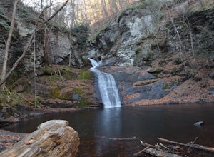
4.31.2 miGPS Coordinates: 41.187148,-74.885454Driving Directions: From 209, enter into the Delaware Water Gap and in between the 10 and 11 mile markers you will see a sign for Hornbecks Creek with a gravel road adjacent to it. Follow the road back until you reach the parking lot and the trail will be to t...Read more

