Bloomingdale, New Jersey
Looking for the best hiking in Bloomingdale? We've got you covered with the top trails, trips, hiking, backpacking, camping and more around Bloomingdale. The detailed guides, photos, and reviews are all submitted by the Outbound community.
Top Hiking Spots in and near Bloomingdale
-
Columbia, New Jersey
Hike to Sunfish Pond
4.57.9 mi / 1150 ft gainAt the end of the parking lot, cross over the bridge and follow the Appalachian Trail (AT, white blazes) to a V-intersection. Turn right onto Dunnfield Creek Trail (green blazes), which will take you past a few cascades and up to Sunfish Pond. Relax and eat lunch at the pond. When you're ready, t...Read more -
Hardwick Township, New Jersey
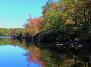
Sunfish Pond via Red Dot, Tammany Fire Road, Turquoise and Dunnfield Creek Trail
5.010.54 mi / 1434 ft gainSunfish Pond via Red Dot, Tammany Fire Road, Turquoise and Dunnfield Creek Trail is a loop trail that takes you by a lake located near Pahaquarry, New Jersey.Read more -
89 Van Orden Road, New Jersey
Hike the Hank's Pond Loop
7 mi / 500 ft gainHank's Pond loop can be accessed from the south at the corner of Clinton road and Van Orden road or from the north, parking at the lot on Stephens road. I hiked from the south on this trip. Follow the wide trail known as Hank's East trail marked with white blazes. Soon you will reach a trail c...Read more -
Philadelphia, Pennsylvania
Hike the Wissahickon Gorge: Valley Green and Two Meadows Loop
5.08.5 miThe Wissahickon Gorge offers beautiful hiking without even having to leave the Philadelphia city limits. There are seemingly countless entry points into the gorge and hiking options are plentiful, with everything from a leisurely stroll down Forbidden Drive to an 18 mile boot buster available.One...Read more -
Philadelphia, Pennsylvania
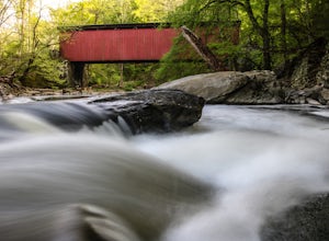
Hike to the Thomas Mill Covered Bridge
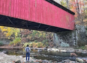
1 miBuilt in 1855, the Thomas Mill Covered Bridge is an 85 foot long Howe-truss bridge located about 1/2 mile from the nearest road in Wissahickon Valley Park. Hiking to the bridge is easy and there are two routes to choose from. Start at either of the parking areas on Bells Mill Road. You can either...Read more -
Bangor, Pennsylvania
Hike Mount Minsi
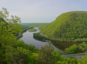
3.6This is a great 5.5 mile hike at the Delaware Water Gap. You follow the Appalachian Trail the entire time (white marked trail) as it climbs to the top on Mt Minsi. There are multiple viewpoints on your way up that provide a great view of the water gap as well as some very picturesque trail points...Read more -
Columbia, New Jersey
Hike the Mount Mohican-Raccoon Ridge Traverse
7.5 mi / 1500 ft gainThis point to point hike can be done in either direction. There is parking at the entrance to Worthington Campground. Cross Old Mine Road and start up the Garvey Spring Trail (orange markers). The trail passes Laurel Falls on the right then ascends steeply until you reach an old forest road. The...Read more -
Collegeville, Pennsylvania
Skippack Creek Loop
4.07.25 mi / 377 ft gainThe Skippack Creek Trail in Evansburg State Park was one of my favorites on this most recent trip. Any chance I can hike a trail alongside a river, I take advantage of it. The trail starts on the south side of Skippack Creek at a parking area on Kratz Road. It was early in the morning and the wea...Read more -
Englewood Cliffs, New Jersey
Hike the Dyckman Hill/Carpenter's Grove Loop
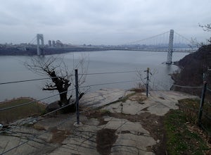
4.04 mi / 400 ft gainThis loop hike can be started from several different places. I chose to start from Allison Park which overlooks the Hudson River in Englewood Cliffs, NJ. From the parking area, walk out to the entrance road and travel south to Saint Peter's College. The Long Path Trail, which you join from All...Read more -
Englewood Cliffs, New Jersey
Hike the Dyckman Hill/Huyler's Landing Loop
9 mi / 980 ft gainThere is two ways to access this loop hike. The first is from the Englewood Picnic area just off Exit 1 from the Palisades Interstate Parkway. Parking here requires a fee of $5 May through September. The second is to drive past the Englewood Picnic area turnoff on Henry Hudson Drive and continu...Read more -
Bushkill, Pennsylvania
Bushkill Falls Loop
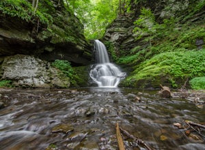
3.81.89 mi / 331 ft gainBushkill Falls offers visitors a choice of 4 different trails to explore. All trails are very well maintained, making this trip safe for the whole family. The most rewarding trail is the Red Trail. This route brings you to all 8 of Bushkill's waterfalls. Taking the trail counter-clockwise, you w...Read more -
608 Ramapo Valley Road, New Jersey
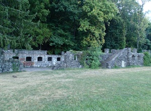
Hike the Halifax Trail and Ruins in the Ramapo Valley Reservation
8.25 mi / 500 ft gainTo start, I recommend coming in the early morning or afternoon, as the parking lot fills up with people hiking, fishing or going for a walk with their family. I usually get my luckiest before 9. This park is as relaxing or exciting as you want to make it. Here is a good map to use/ print out. We ...Read more -
Berkeley Township, New Jersey
Stroll through the Cranberry Bogs at Double Trouble State Park
4.01.9 miThis is a very easy hike, and a great day trip to take if you're looking for something simple and relaxing, but still want beautiful scenery and wildlife.For quick access to the cranberry bog trails, the lot on Double Trouble Road near the Historic Village is where you'll want to start. Entering ...Read more -
Lehman township, Pennsylvania
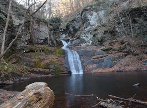
Hike to Hornbeck's Creek Waterfall
4.31.2 miGPS Coordinates: 41.187148,-74.885454Driving Directions: From 209, enter into the Delaware Water Gap and in between the 10 and 11 mile markers you will see a sign for Hornbecks Creek with a gravel road adjacent to it. Follow the road back until you reach the parking lot and the trail will be to t...Read more -
Sandyston, New Jersey
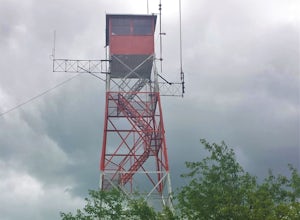
Hike the AT to Culvers Lookout Tower
3.2 miStart your journey in Stokes State Forest at the Culver Gap Parking Lot, located at 41.180239, -74.787954. From the parking lot, jump on over to the Appalachian Trail and hike Northbound. You know you're headed the right way if you are going away from the small town and cross over Sunrise Mountai...Read more -
West Milford, New Jersey
Hike the Terrace Pond North - South Loop
10.7 mi / 1200 ft gainFrom Warwick Road, parking at the northernmost road side parking area, cross the road, and the Terrace Pond North trail (marked with blue blazes) begins as a steady climb until you gain a ridge that offers some great views for several miles. Eventually, you'll reach a power line where you turn ri...Read more

