Shelburne, New Hampshire
Top Spots in and near Shelburne
-
Conway, New Hampshire
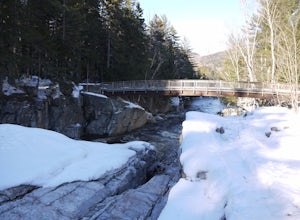
Cathedral Ledge via Bryce Path Trail
2.07 mi / 574 ft gainCathedral Ledge via Bryce Path Trail is an out-and-back trail that takes you by a waterfall located near Bartlett, New Hampshire.Read more -
Hart's Location, New Hampshire
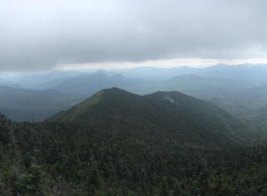
Hike Mt. Crawford
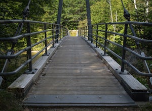
5.05 miDon't let the relatively short 2.5 mile hike up Mt. Crawford fool you, you certainly work for the amazing views from the summit. Located in Crawford Notch, park in the Davis Path lot almost directly across from the Notchland Inn on Rt. 302. The trail starts by going over a footbridge crossing the...Read more -
North Conway, New Hampshire
Hike White Horse Trail
4.75 mi / 1043 ft gainConsider this moderate hike a warm-up to some of the bigger boys in the area! We've hiked Cathedral Ledge from Echo Lake State Park in the past, but wanted something a little longer in distance & slighting more challenging. When I asked the guy manning the State Park booth for a map he said, ...Read more -
Waterford, Maine
Hike Hawk Mountain
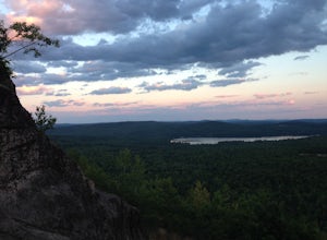
5.02.2 mi / 500 ft gain1.4 mile Out-and-Back trail hike is family friendly and provides spectacular views, especially at sunset. Trail closes right after dusk though, so be careful to not wander too long. Turn onto Hawk Mountain Road, and drive until you see the parking lot on the left and trail head on the right, abou...Read more -
Andover, Maine
Fly Fish Lower Dam at Rapid River, Maine
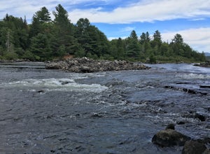
Getting to Rapid River can be a bit of a trek, as the 10 or so miles leading to it is a maze of logging roads and the cell service is spotty at best. Here is a rundown of the route:Driving Northeast on Rt 26, take a sharp right onto Andover RD (East B Hill Road)After 2.1 miles, turn left onto Bro...Read more -
Rumford, Maine
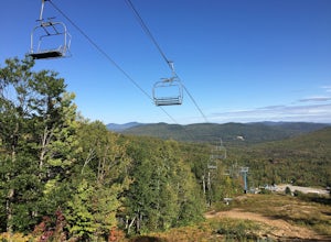
Hike Black Mountain Resort
3.1 mi / 1312.3 ft gainStart at parking-place, make it to the top and chose a route to hike back down. Beautiful views lay in front of you, for you to enjoy. This is a half day hike, full of nice places on the way to have lunch at, or just to enjoy and walk by. Enjoy the Hike ;)Read more -
Bartlett, New Hampshire
Hike Mt. Carrigain
5.010 mi / 3250 ft gainPark on Sawyer River Road at the Signal Ridge Trailhead. Trail starts out as a mild climb and meanders with the Whiteface Brook. When you arrive at the Carrigain Notch Trail junction, turn left. Enjoy three miles of steep uphill along the mountain's edge. When you reach the the apex of Mt. Carrig...Read more -
Albany, New Hampshire
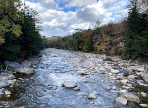
Rocky Gorge Scenic Area Loop
2 mi / 266 ft gainA beautiful area of the Kancamagus Highway, the Rocky Gorge section is home to rushing rapids and scenic lakes. When visiting in the fall the colors are amazing however be ready for traffic and more crowds. This location has a parking lot and walking trails along the river to multiple viewpoints.Read more -
Conway, New Hampshire
Drive the Kancamagus Highway
4.834.5 miThe Kancamagus Highway is designated an American Scenic Byway. It cuts through the White Mountains of New Hampshire. The highest point along the drive is 3000 feet. It is known as one of the best fall viewing areas in the country. If your interested there is also several campgrounds along thi...Read more -
Denmark, Maine
Summit Bald Peak and Mt. Pleasant
6 mi / 1450 ft gainAfter turning on Mountain Rd, look for East Pinnacle Condominiums. The trailhead is about 0.1miles after that on the right between the telephone poles marked 49 and 50. There is a dirt parking lot to pull into. Now on to the hike! This hike begins by heading straight uphill immediately, and you ...Read more -
Albany, New Hampshire
Champney Falls - Bolles Chocura Loop
5.09.18 mi / 2904 ft gainChampney Falls - Bolles Chocura Loop is a loop trail that takes you by a waterfall located near Lincoln, New Hampshire.Read more -
Byron, Maine
Swim in Coos Canyon
5.0Coos Canyon is right off of route 17 in Byron, ME. It's almost impossible to miss but if you're worried about it you can type "coos canyon" or "coos canyon rock and gift" into google maps and it will take you right there. There is a gravel parking lot to the right side of the road (heading north)...Read more -
Waterville Valley, New Hampshire
Sabbaday Falls
4.70.7 mi / 171 ft gainThis awesome waterfall is located right off of the Kancamagus Highway (rt 112) that runs from Lincoln to North Conway, NH. The highway itself is a very scenic drive through the White Mountains that has pull off spots every couple of miles. From I93 take exit 32 for Lincoln. Drive straight throug...Read more -
Lincoln, New Hampshire
Summit Mount Hancock and South Hancock
9.8 mi / 2220 ft gainThe Hancock trailhead is located at the infamous hairpin turn of the Kancamagus Highway in the White Mountains. The trail itself crosses the road and starts at 2000 feet of elevation on the Hancock Notch trail. It remains fairly flat for the first 3 miles of the trail. After 1.8 miles you will hi...Read more -
Lincoln, New Hampshire
Osceola Mountain via Greeley Pond
4.06.8 mi / 2677 ft gainStart out at the Greeley Pond trailhead off of the Kancamagus Highway. After 1.3 miles the trail splits--bear right to get onto the Mt. Osceola Trail. Continue 1.5 miles to the summit. This summit hike offers a different kind of reward. Views are limited from the peak of Mt. Osceoloa, which allow...Read more -
Colebrook, New Hampshire
Hike to the Top of Table Rock
4.31.52 mi / 715 ft gainThough the trail may seem a bit daunting at first (especially for beginners), this out-and-back hike isn't all that difficult. At the trailhead (located almost directly behind the sign "Entering Dixville Notch State Park"), you'll begin by walking through some densely wooded forest. The trail is ...Read more


