Loudon, New Hampshire
Top Spots in and near Loudon
-
Jaffrey, New Hampshire
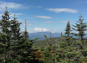
Mount Monadnock via White Dot Trail
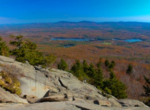
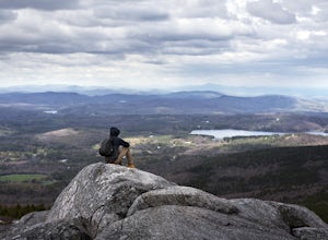
4.43.46 mi / 1699 ft gainMonadnock State Park is located in and around the 3,165-ft. Mount Monadnock. Mount Monadnock is crisscrossed by many miles of well-maintained hiking trails. The popular White Dot Trail (2.2 miles) is the shortest but steepest ascent to the summit, accessible from the Monadnock State Park headquar...Read more -
Jaffrey, New Hampshire
Mount Monadnock via White Dot & White Cross Loop
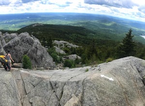
4.53.7 mi / 1686 ft gainThe White Dot Trail is the shortest, steepest ascent to the summit, while White Cross has a slightly easier grade down with very little difference in distance. Therefore, per the park's rangers, the best way to conquer this loop is White Dot up, White Cross down.The White Dot Trail begins at Mon...Read more -
Ogunquit, Maine
Watch the Sunrise from the Marginal Way Trail
5.02 mi / 70 ft gainPark near the Oceanside Oarweed restaurant or any other public spots on the cove's peninsula. Marginal Way is a nicely paved 1.25 mile out and back path, perfect for a morning walk or run on the rocky coast. Catch fishermen, lobstermen, and recreational boats as they leave, or choose to sit at on...Read more -
York, Maine
Photograph Nubble Lighthouse
4.8Officially named Cape Neddick Light, though more commonly known as Nubble Light, this lighthouse is part of the National Register of Historic Places and is a local favorite for photography. The lighthouse park is located just over the New Hampshire / Maine state line in New England, in York, ME....Read more -
Jaffrey, New Hampshire
Hike MT Monadnock via White Arrow Trail
4.3 mi / 1485 ft gainArriving at the Old Toll Road/Halfway House Trail head you will have $5 entrance fee. Starting on the Old Toll road you'll find yourself walking on a gradual incline into the beautiful New Hampshire wilderness. Everything you see and smell is fresh and vibrant. Following the road for 1.1 miles yo...Read more -
Andover, Massachusetts
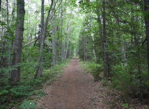
Haggetts Rail Trail to Haggetts Pond
5.02.08 mi / 16 ft gainHaggetts Rail Trail to Haggetts Pond is an out-and-back trail that takes you through a nice forest located near Lawrence, Massachusetts.Read more -
Wells, Maine
Hike to Laudholm Beach at Wells National Estuarine Reserve
1.5 mi / 0 ft gainFrom the main parking area take the Beach Barrier Trail which takes you through several different types of environment; fields, forests, and marshland before reaching Laudholm Beach to further explore or take a dip.Walk the length of Laudholm Beach if you have time where barrier beaches protect a...Read more -
Ashburnham, Massachusetts
Summit Mount Watatic via the Wapack Trail
5.03 mi / 800 ft gainEntering Mount Watatic in your GPS will take you to Rindge State Road (119), continue about two minutes down the road past where the GPS tells you. on the Right hand side you will will see a sign for Mount Watatic Parking area or just enter in coordinates: 42.696796, -71.904521 You will begin the...Read more -
Wells, Maine
Hike the Carson Trail in Rachel Carson National Wildlife Refuge
4.01 mi / 0 ft gainPull into the well marked Wildlife Refuge off Port Rd. There's several official building as well as an interpretive center and bathroom very close to the parking lot.The only trail, the Carson Trail, is feet from the parking area. It's an extremely well groomed gravel trail easily accessible for ...Read more -
Thornton, New Hampshire
Hike the Lafayette-Lincoln Loop
2.35.2 miBegin at the Mt. Tecumseh trailhead. You will hike for 1.2 miles before your first vista. Continue from there another mile until you arrive at the junction with the Sosman Trail. Stay right and continue another 0.3 miles to reach the summit of Mt. Tecumseh. At just over 4,000' this peak offers in...Read more -
Groton, Massachusetts
Catch a Sunset at Gilbert Hill
5.01 miFrom Rt. I-495 Exit 31, Gibbert Hill has one of the greatest sunsets around Groton, MA area. You will see a lot of cows and even a castle. This is a very easy hike and a not so easy place to park, you have to leave you car on the side of the road, which is totally fine, I guess, it is easy.The wa...Read more -
Newbury, Massachusetts
Explore the Parker River National Wildlife Refuge
4.66.5 miLocated just north of Boston, Parker River National Wildlife Refuge was established in 1941 to provide feeding, resting, and nesting habitat for migratory birds. The refuge lands are both scenic and diverse, with approximately 4700 acres of habitats including sandy beach and dune, cranberry bog, ...Read more -
Dayton, Maine
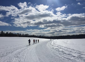
Cross Country Ski the Trails at Harris Farm
Harris Farm is a great place for beginner cross country skiing or to hone in on already developed skills. They provide rentals ($15pp) and the network of trails is several miles long. The trails range from green (easy) to red/black (more difficult). I personally love hanging out on the blue trail...Read more -
Kennebunk, Maine
Hike the Bridle Path through the Madelyn Marx Preserve
4.01.5 mi / 0 ft gainAfter crossing the Mousam River on Western Ave, see signs and gravel pull-off areas for parking at the Bridle Path trailhead. The Madelyn Marx Preserve is a greater part of the Kennebunk Land Trust home to many preserves in the area (So look for Kennebunk Land Trust signs as well).Hike through op...Read more -
Thornton, New Hampshire
Hike Mount Tecumseh via Tripoli Road
6.2 mi / 2545 ft gainThis short hike starts out from the Tecumseh Trailhead parking lot along Tripoli Road at an elevation of 1,820 feet. The trail heads south from the parking area and almost immediately crosses a few brooks which may be difficult at high water. The first mile or so is a relatively gradual ascent. O...Read more -
Waterville Valley, New Hampshire
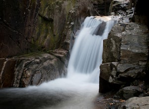
Sabbaday Falls
4.70.7 mi / 171 ft gainThis awesome waterfall is located right off of the Kancamagus Highway (rt 112) that runs from Lincoln to North Conway, NH. The highway itself is a very scenic drive through the White Mountains that has pull off spots every couple of miles. From I93 take exit 32 for Lincoln. Drive straight throug...Read more

