West Glacier, Montana
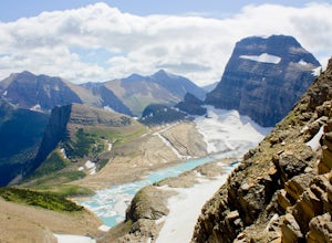
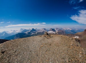
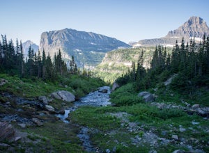
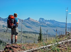
As the western gateway to Glacier National Park, West Glacier has been dubbed "guide central," and adventures in and around Glacier National Park often begin and end in West Glacier.
Top Spots in and near West Glacier
-
West Glacier, Montana
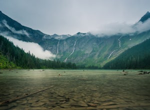
Avalanche Lake via Trail of Cedars
4.95.91 mi / 730 ft gainThis very scenic Glacier National Park hike off of Going-to-the-Sun road is 4.5 miles with a total elevation gain of 730 feet. The hike to Avalanche Lake begins from the Trail of the Cedars trailhead. Be prepared for a lot of incline. Approximately one half mile from the trailhead you’ll reach...Read more -
Flathead County, Montana
Hike to Blaine Mountain
7.3 mi / 2350 ft gainTo reach the trailhead for this hike, it is about an hour's drive from nearby Kalispell. You will drive around Hungry Horse Reservoir on the West Side Road, and turn off onto Doris Creek Road. Be sure NOT to get this mistaken with the nearby Doris Ridge Road. Once turning onto Doris Creek Road, i...Read more -
West Glacier, Montana
Backpack to Logging Lake
8.8 miBackcountry camping is the best plan if you’d like to visit Logging Lake, and the primitive campsites lay at the end of a four and a half mile hike through some of the most unspoiled sections of the park. The trail follows logging creek most of the way to the lake traversing through a variety of ...Read more -
Whitefish, Montana
Hike Whitefish Mountain via the Danny On Trail
5.07.6 mi / 2250 ft gainThe Danny On Trail starts from the base area of Whitefish Mountain Ski Resort and zig zags its way up to the summit. The trailhead is near the Chalet building/Hellroaring Saloon upper parking lot (there's a big sign). The trail passes through Douglas fir, western larch, spruce and fir trees. The ...Read more -
Browning, Montana
Photography on Logan Pass
5.0Disclaimer: Glacier National Park has closed any off-trail activity in this area. The majority of the photos can be taken on-trail. Please be sure to adhere to the park's policy.With a short window of opportunity for visiting, Logan Pass offers a wealth of photographic options. As the winter sno...Read more -
Browning, Montana
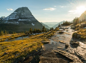
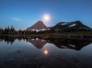
Hidden Lake Overlook
5.02.83 miThe trail starts at the Logan Pass Visitor Center, which is right in the middle of Going-To-The-Sun Road. It can be very busy during the middle of the day, but early morning and early evening will have less of a crowd. It's a pretty short hike in a beautiful wide open alpine meadow. We were gree...Read more -
Browning, Montana
Hike Dragon's Tail Ridge
3.53 mi / 1800 ft gainStarting from Logan's Pass, make your way along the boardwalk that leads to the Hidden Lake Overlook. Depending on the previous winter, there may be quite a bit of snow covering large portions of the boardwalk and trail that leads to Dragon's Tail, so it is suggested that you take any necessary p...Read more -
Browning, Montana
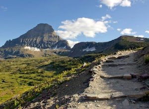
Reynolds Mountain
4.511 mi / 2500 ft gainReynolds Mountain stands high above the Logan Pass Visitors Center. Because of it's easy location, be prepared to get caught in the heavy rush of tourists on the way up. Though most will not be going to Reynolds Mountain, you will still need to "wade" through heavy tourism to reach the trail he...Read more -
Browning, Montana
Summit Reynolds Mountain via the North Face Ascent Route
7.9 mi / 2500 ft gainMt. Reynolds is a premier peak in Glacier National Park (GNP). The views from the beginning to the summit are incredible all the way around. Reynolds offers those who are starting to climb an introductory climb with little technicality and a reward that is well earned at the top. GNP requires an ...Read more -
48.696704,-113.718345
Grinnell Glacier Overlook via Highline Trail
4.015.23 mi / 1000 ft gainThere are two ways to get to this trail. Preferred route: Start the Highline Trail at Logan Pass. Hike 7.5 miles on a pleasantly gradual trail to get to the overlook trail. Alternate route: You can instead start at The Loop (shuttle stop), hike up to the Granite Park Chalet, and then hike an addi...Read more -
Browning, Montana
The Garden Wall
15.16 mi / 3944 ft gainThe Garden Wall Trail is an out-and-back trail where you may see beautiful wildflowers located near West Glacier, Montana.Read more -
West Glacier, Montana
Highline Trail
5.015.01 mi / 700 ft gainStarting at the top of Logan Pass at the visitor's center, walk across the street to the well marked Highline Loop Trailhead. This is written as an out-and-back hike, where you will simply hike back to where you started from. However, if you'd like to catch a ride back to the trailhead, check out...Read more -
West Glacier, Montana
Granite Park Chalet via Highline Trail
4.511.49 mi / 1950 ft gainThe trailhead for the Highline Trail is located near the west side of Logan's Pass. Parking is limited at the Pass so arriving early to guarantee a spot, or taking a park shuttle (no fee) is suggested. The shuttles run consistently during the day at different locations throughout the Park. Howeve...Read more -
Browning, Montana
Piegan Mountain
5.05 mi / 3000 ft gainStart this hike at the Lunch Creek parking lot just over Logan Pass. Follow the climber's trail which will lead you above a waterfall and into Lunch Creek Basin. Looking straight ahead, you will see Pollock Mountain. Continue to your right for the peak approach (if you go all the way to the right...Read more -
Browning, Montana
Climb Pollock Mountain and Bishop's Cap
8 mi / 4300 ft gainStarting at Logan Pass, drive 0.8 mi. east to Lunch Creek parking area. Parking during the summer at Glacier National Park is often difficult. Plan on arriving at the parking lot before 8 am to guarantee a parking spot. From Lunch Creek, follow the well established trail north until cliffs are re...Read more -
West Glacier, Montana
Waterton Lakes via Packers Roost
5.022.15 mi / 4596 ft gainDay 1: This gorgeous backpacking adventure begins at the Packer's Roost trailhead, which is almost halfway between West and East Glacier on the Going-to-the-Sun Road. This trailhead is marked on the highway before you get to the "Loop." It's a quick left turn so keep your eyes peeled as you pass ...Read more

