Montana
Looking for the best photography in Montana? We've got you covered with the top trails, trips, hiking, backpacking, camping and more around Montana. The detailed guides, photos, and reviews are all submitted by the Outbound community.
Top Photography Spots in and near Montana
-
Flathead County, Montana
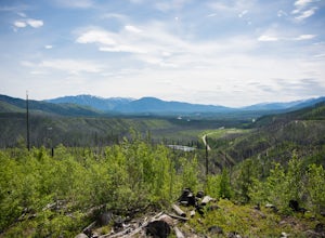
Hike Demer's Ridge
7.47 mi / 3420 ft gainThis trail is a point to point, so two cars are necessary. The ending point is where Camas Rd intersects the North Fork Road at the Blankenship Bridge. The starting point for the hike is at Demer's Pit. Driving 22 miles from Columbia Falls, MT, make your way to the parking spot, Demer's Pit. From...Read more -
Fort Benton, Montana
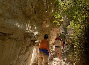
Neat Coulee on The Upper Missouri River Breaks
2 mi / 100 ft gainNeat Coulee is a slot canyon in Central Montana that was formed by water erosion of the white sandstone cliffs. To get to the Neat Coulee, you'll need to do a river trip. The nearest put-in in Coal Banks Landing. You could exit the river at Hole in the Rock road, but most people continue on to Ju...Read more -
West Glacier, Montana
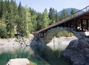
Swim at the Belton Bridge
2.0The Belton Bridge is the old entrance to glacier. You can get there by turning right down old river bridge road, which is the first right when you turn in to the West Glacier village. There are some 5-8 ft rocks to jump off, but be sure to check the water below them first. The water is gorgeous, ...Read more -
White Sulphur Springs, Montana
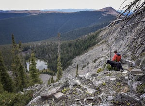
Hike Yogo Peak and Enjoy Views of Lake Elva
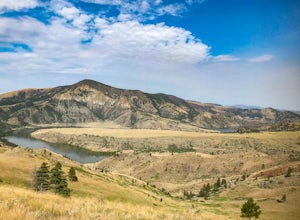
A short 2-hour drive from Great Falls leads you to Yogo Peak and Lake Elva, an area of beauty, tranquility, and solitude. Yogo Peak is located in the Little Belt Mountains which are part of the Lewis & Clark National Forest. Yogo Peak doesn't have a designated trail, but it is located to the...Read more -
Zortman, Montana
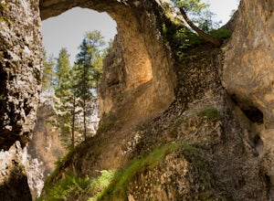
Explore Nature Mission Canyon Natural Bridge
Mission Canyon Natural Bridge is located on the Fort Belknap Indian Reservation just outside Hays, Montana. Fort Belknap Indian Reservation is home to the Assiniboine (Nakoda), and the Gros Ventre (aaniiih) tribes, and is the forth largest Indian reservation in Montana. The People's Creek flows ...Read more -
Glacier National Park, Montana
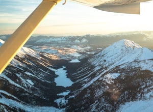
Fly Over Glacier National Park
Flying over Glacier National Park in a small airplane is an epic way to see the beautiful scenery of this National Park. If you haven't even been to the park before, it is a great way to see it for the first time, which was the case for me. Time: The best time to fly over these majestic mountain...Read more -
Great Falls, Montana
North Shore Rivers Edge Trail East
6.9 mi / 700 ft gainThe North Shore Rivers Edge Trail East is a moderate trail that has been created mostly by the local biking associations. The trail follows the bluffs on the edge of the river with plenty of twists and turns to keep it interesting. To access the East section of the North Shore Rivers Edge trail,...Read more -
Helena, Montana
Continental Divide Trail: MacDonald Pass to Priest Pass
5.010.8 mi / 2500 ft gainThe CDT trail is a popular trail with thru-hikers, and is considered one of the three Crown Jewels. The Appalachian Trail and the Pacific Crest Trail being the other two. This section of the Continental Divide Trail starts 25-minutes to the West of Helena just off Highway 12 at the CDNST Trailhe...Read more -
Helena, Montana
Four Wheel Drive and then Hike to Historic Mann Gulch
2.4 mi / 1535 ft gainIn 1949, a fire started in a remote area of the Gates of the Mountains wilderness, a gulch east of the Upper Missouri River. Fifteen smokejumpers were dropped in to fight it. Thirteen died. The United States Forest Service drew lessons from the tragedy of the Mann Gulch fire by designing new trai...Read more -
Great Falls, Montana
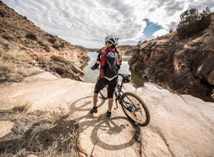
Hike or Bike the South Shore River's Edge Trail
10 mi / 975 ft gainThe South Shore River's Edge Trail runs along the Missouri River. The trail is rated as moderate and is perfect for hiking, trail running, and mountain biking. It's an out-and-back, so you can go as far as you like. To start, park at the South Shore Trail Trailhead (click the Get Directions link ...Read more -
Helena, Montana
Prospect Shaft Trail
2.4 mi / 800 ft gainThe Prospect Shaft Trail is a lightly used trail used to reach the summit of Mt Helena. The trail is rated as a 'moderate' trail due to its steep, loose, rocky surface. Due to these characteristics, it's rarely used for mountain biking and primarily used for hiking and trail running. The views a...Read more -
Choteau, Montana
Hike Mount Werner
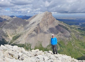
9.5 mi / 3048 ft gainThe Mount Werner Trail starts at the Blackleaf Canyon Trailhead in the Montana front range of the Rocky Mountains. On a side note, Blackleaf Canyon is also a popular rock climbing area. On the trail, you'll walk along Blackleaf Creek, and Muddy Creek so water will be available during the hike in ...Read more -
Helena, Montana
1906 Trail
3 mi / 1000 ft gainLocated just outside of Helena, the 1906 Trail starts at the Mt Helena Parking Lot. The path is wide enough to share with hikers, trail runners, or mountain bikers. Note: this is an uphill-only trail for mountain biking. It's a very popular trail due to its wide trail and awesome views from the t...Read more -
Helena, Montana
Mount Ascension
3 mi / 950 ft gainMount Ascension is a popular trail in Helena. It's used for hiking, trail running, and mountain biking. It can be accessed year-round, but can get icy and slippery during the winter. The path for Mount Ascension is a network of trails that that can be done as an out-and-back, or a lollipop trail...Read more -
Nye, Montana
Hike Sioux Charley Lake Trail
6.5 mi / 931 ft gainFrom the trailhead hike about 2.5 miles to Sioux Charley lake with varying inclines of terrain, all in all a very easy and delightful hike.Read more -
Philipsburg, Montana
Hike the Hogback Ridge Trail
11 mi / 5242 ft gainThe trailhead is accessed at the Hogback Homestead. [GPS Info. (Latitude, Longitude):46.41056, -113.7019446°24'38"N, 113°42'7"W] Due to the isolated location of this trailhead, and the miles of rough dirt road that it takes to get there, you will more than likely have the place to yourself. Park ...Read more

