Montana
Looking for the best photography in Montana? We've got you covered with the top trails, trips, hiking, backpacking, camping and more around Montana. The detailed guides, photos, and reviews are all submitted by the Outbound community.
Top Photography Spots in and near Montana
-
Wilsall, Montana
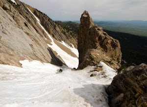
Summer Skiing "The Great One Couloir" in the Northern Bridgers
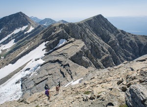
The Great One Couloir in the Northern Bridgers is a classic summer ski adventure, perfect for a day trip.Walk up the trail towards Sacajewea Peak – it is marked on a sign and easy to find. Continue for about 2 miles to the top, where you will traverse south from Sacajewea Peak for roughly 1 mile,...Read more -
Augusta, Montana
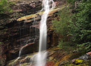
Hike to Willow Creek Falls
5.04.5 mi / 1000 ft gainThe hike up Willow Creek Gorge is one of my favorites so far. Unfortunately, because of the terrain and elevation gain, I wouldn't recommend taking young kids but if you do, make sure they're attached to you in some way. There are no services at the trail head, so make sure to bring everything yo...Read more -
Browning, Montana
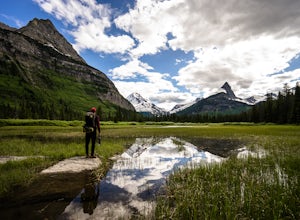
Gunsight Pass to Gunsight Lake Campsite
5.013.06 mi / 1667 ft gainHow to Get There: Get your backcountry pass at the St. Mary visitor center and then head over to the hike, which begins from the Jackson Glacier Overlook, located 12.6 miles west of the center on the Going-to-Sun-Road. The Hike: The first mile of the hike is a downhill, and then the trail is ...Read more -
Dayton, Montana
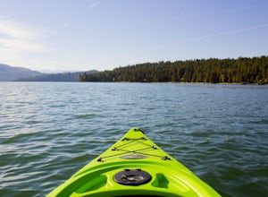
Kayak to Wild Horse Island
5.0There are many boat ramps to access Flathead Lake, but the closest location to Wild Horse Island is Dayton, MT. Dayton offers easy access with only about a 1-hour paddle to the island for the novice kayakers. Unfortunately, the boat ramp in Dayton does not have room for parking, thus it is only a...Read more -
Roscoe, Montana
Backpack to the Beartooths
5.014 mi / 7620 ft gainWe stood there, against the wind, looking at 3-4 pitches. The line appeared too good to be true. It was a bit of an ice pitch, followed by a snow coliour, finishing with a pitch of mixed climbing that would take us to the top.I'd heard things about The Beartooths. But, they weren’t validated unti...Read more -
Bigfork, Montana
Swim in Graves Bay Swimming Hole
To get to this swimming hole you drive south from Hungry Horse on the West Side Road (Forest Road 895) 33.6 miles to the Graves Creek Campground. Park in the small parking lot with the bear box and outhouse, opposite the campground closer to the lake. Follow the path as it leads you past the casc...Read more -
Darby, Montana
Backpack and Summit Trapper Peak
4.08.75 mi / 3327 ft gainFrom Darby, MT, follow MT 473 south for 4 miles to West Fork Bitterroot River Rd. A mile past the Job Corps, at milepost 7, turn right on FS 5634 (Baker Point Rd.). Follow this road 10 miles to the trailhead at about 7000 ft. The trail begins on a FS trail to Baker Lake. There are fish in Baker L...Read more -
Browning, Montana
Piegan Mountain
5.05 mi / 3000 ft gainStart this hike at the Lunch Creek parking lot just over Logan Pass. Follow the climber's trail which will lead you above a waterfall and into Lunch Creek Basin. Looking straight ahead, you will see Pollock Mountain. Continue to your right for the peak approach (if you go all the way to the right...Read more -
Carbon County, Montana
Visit Devil's Canyon Overlook in Bighorn Canyon National Recreation Area
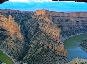
Devil's Canyon Overlook is a breathtaking area in Bighorn Canyon National Recreation Area located in Montana and Wyoming. Devil's Canyon Overlook is located in Montana about 3 miles north of the Montana, Wyoming border off HWY 37. The overlook is easily accessed from well-marked, paved roads with...Read more -
West Yellowstone, Montana
Camp at Cherry Creek Campground at Hebgen Lake
In early November we drove from Big Sky to this free campsite located on the southern part of the lake. The road is dirt but mellow. We saw no other campers the entire 2 days we were there. We got out on our inflatable kayak the first day and paddled out on the glassy water near some enormous fl...Read more -
Park County, Montana
Backpack the Aero Lakes to Granite Peak
26 mi / 6200 ft gainGranite Peak is considered one of the most difficult state high-points, for its remoteness and its climbing challenge. Unfortunately, the access to this route is very remote. Fortunately, this route to the summer is the easiest way up in terms of the technical climbing challenge. This route, k...Read more -
Bigfork, Montana
Summit Swan Peak
18.49 mi / 6180 ft gainThis hike is about an hour drive south from Kalispell. Follow MT-83 S for about 47 mi. towards and past Swan Lake. Take a left on NF-554 and follow the road for 1.6 mi. and take a right on Squeezer Creek Rd. and follow the road for 4 mi. to a gated road and park near the gate. Follow the gated ro...Read more -
Glacier County, Montana
Ptarmigan Falls
5.05.11 mi / 768 ft gain...The hike to Ptarmigan Falls begins next to the cabins near the Swiftcurrent Motor Inn. There’s enough parking for about 10-16 vehicles in the lot next to the trailhead. This is a heavily trafficked area, so extra parking is available in front of the Swiftcurrent Motor Inn. This is where I park...Read more -
Great Falls, Montana
Hike Sulphur Springs Trail
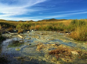
3.32 mi / 278 ft gainYou can find the Sulphur Springs trailhead near the Morony Dam and Reservoir. There's a graveled parking lot, an outhouse and an informative story board to quell your curiosity. For your convenience, I'll give you a Reader's Digest version of the history of this specific area. As we all know, Lew...Read more -
Condon, Montana
Climb Holland Peak
11 mi / 5200 ft gainAbout 2 mi. south of Condon, MT, take Rumble Creek Road east to Cooney Lookout and park at the trailhead at 4550 ft. Follow the trail for about 1 mi. and after about 100 yards after the third bridge, look for a well worn trail heading up the hill side. Take this steep, hard-packed trail and follo...Read more -
Lolo, Montana
Backcountry Snowshoe and Snowboard near Lolo Pass
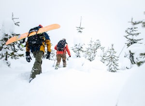
1.03 mi / 1250 ft gainFor this trip, you want to head towards Lolo Pass, which is the landmark of the Idaho/Montana border on Highway 12. This highway's two main towns that it begins and ends at are Lolo, Montana and Lewiston, Idaho. If you are on the Montana side, Crooked Fork Road is just a mere 100 yards from the L...Read more

