Coram, Montana
Looking for the best photography in Coram? We've got you covered with the top trails, trips, hiking, backpacking, camping and more around Coram. The detailed guides, photos, and reviews are all submitted by the Outbound community.
Top Photography Spots in and near Coram
-
Browning, Montana
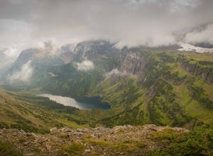
Ptarmigan Tunnel
5.010.68 mi / 2713 ft gainThis amazing 11 mile hike with 2,300 feet of vertial gain begins behind the Swiftcurrent Motor Inn cabins. If you start early enough you can park by the trailhead, but if you get a little later start you may need to park in the main lot of the Motor Inn. As you begin your hike, you will pass the...Read more -
Browning, Montana
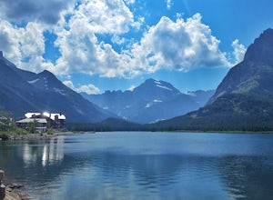
Grinnell Lake
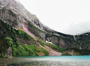
5.07.15 mi / 230 ft gainThe hike to Grinnell Lake begins at the Grinnell Glacier Trailhead, approximately 0.5 miles past Many Glacier Hotel in the Many Glacier area of Glacier National Park. For folks staying in the hotel, there is an optional trailhead just south of the building. There is also is a boat shuttle for tho...Read more -
Browning, Montana
Grinnell Glacier in Glacier NP
5.011.33 mi / 1840 ft gainThe Grinnel Glacier Hike begins at the Grinnell Glacier Trailhead just past the Many Glacier Lodge. A fee of $25 is required to enter Glacier National Park for a seven-day pass. The Many Glacier region is entered from the east side of the park from the Blackfeet Indian Reservation. The Grinnel...Read more -
Browning, Montana
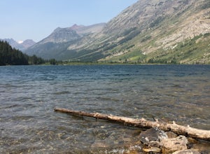
Cracker Lake
5.012.71 mi / 2001 ft gainThe 6.1 mile (12.2 roundtrip), hike to Cracker Lake includes wooded forests, grand views of lakes and mountains, creek crossings, distant waterfalls, mining ruins, possible wildflowers and wildlife, and a swim in turquoise water. At 1400ft elevation gain, the trail never gets too taxing. The view...Read more -
Browning, Montana
Walk the Swiftcurrent Nature Trail, Glacier National Park
5.02.66 mi / 135 ft gainWalking in either direction, the trail is easy to follow. If you take the loop counter-clockwise, you will reach the Grinnell Glacier parking area in just over a half mile (which is an alternate starting point for this trail). Follow the signs and continue left to rejoin the trail. About a mile l...Read more -
Swiftcurrent, Montana
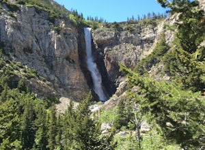
Hike to Apikuni Falls at Glacier National Park
5.01.92 mi / 670 ft gainFrom the parking lot follow the trail to the left to Apikuni Falls. The first 1/4 mile of the trail is an easy stroll through an open field before entering an aspen forest where the trail ascends more than 500 feet in less than 1/2 mile. The falls won't be visible until the final 1/8 mile of the...Read more -
Browning, Montana
Backpack to Poia Lake, Glacier NP
12.8 mi / 1700 ft gainLocated in Many Glacier, the Red Gap Pass trail begins at the Apikuni Falls Trailhead located east of the Many Glacier Lodge (if you're looking to check out the falls before your hike, check out Hike to Apikuni Falls at Glacier National Park). The trail starts at a gradual incline and continue th...Read more -
Browning, Montana
Backpack the Continental Divide in Glacier NP
4.033.4 mi / 5257 ft gainPark your car at the Two Medicine North Shore Trailhead, and take a National Park Shuttle (if they are running during the season--they stop around Labor Day in September) or set up a private shuttle service to St. Mary and the Red Eagle Trailhead (only ~$10-20 bucks a person).The first day from t...Read more -
West Glacier, Montana
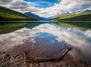
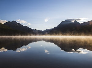
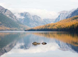
Camp at Bowman Lake
5.026.85 mi / 3005 ft gainBowman lake is the 3rd largest lake in Glacier National Park and one of the most remote areas accessible by car. The drive out on a dirt road is slow and bumpy but the reward is an area without crowds and lots of adventure potential. The first-come-first-served campground offers 48 sites near t...Read more -
West Glacier, Montana
Waterton Lake via Bowman Lake
49.5 mi / 6365 ft gainOur trip started on Thursday evening, spending the night at the Bowman Lake campground. You can park your car here and it's where the hike will start and end. I recommend staying here the night before because day 1 is a doozy, so you'll want an early start. Day 1 is the hardest day of the hike, ...Read more -
West Glacier, Montana
Bowman Lake to Quartz Lake Loop
5.013.3 mi / 2618 ft gainThe trail to Quartz lake begins on southend of the Bowman Lake beach. I recommend going in a clockwise direction and getting the steep bit out of the way, but the ~13 mile loop can be done either way. Follow the Bowman Lake shore on the West Lakes Trail for about half a mile and then you will fi...Read more -
Bigfork, Montana
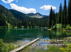
Hike to Bond Lake
5.011.6 mi / 2300 ft gainFrom Kalispell, head south towards Swan Lake along Highway 83 until a sign for Bond Creek Trailhead is located on the east side oft the road near mile marker 71. Turning onto Forest Service Road #680 and after 1.5 miles, turning on FS Road #9507, the trailhead will be 2.3 miles after the intersec...Read more -
Flathead National Forest, Montana
Hike Montana's Swan Crest Trail
47 miGetting There: Coming from Seeley Lake, take the road towards Bigfork. Continue until you get to mile marker 27 and turn right into the Morrell/Clearwater turn off. Stay on the road most traveled until you dead end at the trail head roughly 7 miles up the road. Park here. The Trail: The trail ...Read more -
Hungry Horse, Montana
Relax at Spotted Bear Beach
Spotted Bear Beach is a secluded white sand beach in the middle of Montana. To get here from the town of Hungry Horse, drive east on Highway 2 for ½ mile to the East Side Reservoir Road #38. Turn right (south) onto Road #38 and drive on through the town of Martin City. After two miles the pavemen...Read more -
Flathead County, Montana
Backpack to Link Lake
1.3 mi / 600 ft gainTo reach the trailhead, travel west on US Hwy 93 for 17.9 mi. and then turn right onto Olney Crossover Rd. This road will continue for 8.8 mi. and then keep left onto NF-115 for 9.7 mi. and the destination will be on the right hand side. There is a parking area where the trailhead begins. From th...Read more -
Kalispell, Montana
Summit Lake Mountain and Nasukoin Mountain
5.012 mi / 3500 ft gainTo reach the trailhead, travel west on US Hwy 93 for 17.9 mi. and then turn right onto Olney Crossover Rd. This road will continue for 8.8 mi. and then keep left onto NF-115 for 9.7 mi. and the destination will be on the right hand side. There is a parking area where the trailhead begins. From th...Read more

