Coram, Montana
Looking for the best photography in Coram? We've got you covered with the top trails, trips, hiking, backpacking, camping and more around Coram. The detailed guides, photos, and reviews are all submitted by the Outbound community.
Top Photography Spots in and near Coram
-
East Glacier Park, Montana
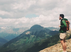
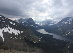
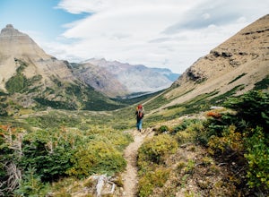
Dawson Pass
5.012.01 mi / 2450 ft gainThis is a somewhat strenuous but extremely rewarding hike in Glacier National Park. It is much less crowded than the more popular Logan Pass and High Line trails, and in my opinion, more rewarding. Dawson Pass is on the Continental Divide at an elevation of 7,598 feet. It sits between Mt. Helen ...Read more -
Glacier National Park, Montana
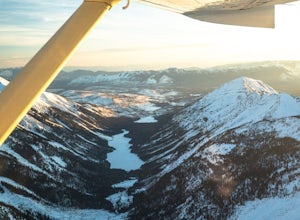
Fly Over Glacier National Park
Flying over Glacier National Park in a small airplane is an epic way to see the beautiful scenery of this National Park. If you haven't even been to the park before, it is a great way to see it for the first time, which was the case for me. Time: The best time to fly over these majestic mountain...Read more -
Glacier County, Montana
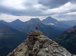
Pitamakan Pass
15.36 mi / 3064 ft gainThis gripping, 16 mile round trail reveals adventure at every turn. Nestled behind Pray Lake in Glacier National Park, the Pitamakan Pass hike will begin at the North Shore Trailhead. To access this trailhead, a fifteen dollar fee may be payed to cross Pray Lake by boat. If your pocket book is ru...Read more -
Glacier County, Montana
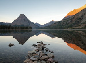
Upper Two Medicine Lake
9.67 mi / 719 ft gainI did this trip during the end of autumn, and was pretty much the only person on the entire lake. With it being so serene and so quiet, I had the perfect nature getaway. I made sure to watch an epic sunrise on Two Medicine Lake, then spend the day taking my time to the upper lake and back, with a...Read more -
Glacier County, Montana
Hike to Scenic Point in Glacier National Park
5.07.74 mi / 2205 ft gainPark at the trailhead and begin the hike. The trail starts out relatively flat until you reach a small waterfall. Then, hike up the switchbacks for about 4 miles while gaining around 2300 feet. From the top, you can see both Upper Two Medicine Lake and Two Medicine Lake. The views are stunning. ...Read more -
Glacier County, Montana
Photograph Wild Goose Island
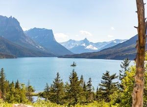
5.0Wild Goose Island in Glacier National Park is one of the most iconic photography locations in the park. As a subject it differs wildly from time of year and time of day; a gorgeous 14' tall element surrounded by a vast alpine lake in the heart of a glaciated valley set against glacier-carved peak...Read more -
Glacier County, Montana
Running Eagle Falls
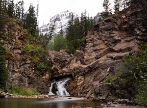
5.00.68 mi / 33 ft gainRunning Eagle Falls is located just 1.1 miles west from the Two Medicine entrance in Glacier National Park. The trailhead parking lot is just off the main road going to the lake– it is essentially impossible to miss. It mimics parking spots on the side of a city street. This hike is handicap ac...Read more -
Browning, Montana
Capture Sunrise at St. Mary Lake
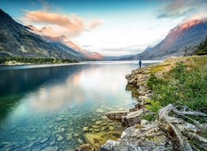
5.0One of the more popular spots to photograph this lake is from the Wild Goose Island pullout. However, I prefer to get off the beaten path a little bit and avoid the crowds. The pin on the map will take you to the next pullout just east of Wild Goose Island, but before you get to Rising Sun campgr...Read more -
Somers, Montana
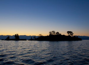
Kayak to Pig Island
Drive to the North Flathead Launch in Somers, MT (15 miles south of Kalispell). Launch the kayaks and head south towards the yacht club. Once past the yacht club, paddle eastward, you should come upon a wooden shack, a number of wooden poles, and an island. Continue eastward past these various fe...Read more -
Browning, Montana
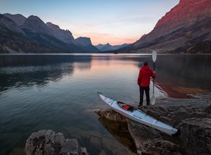
Kayak Saint Mary Lake, Glacier National Park
Glacier National Park, one of the United States' finest national parks, is home to some of the most spectacular glacially carved lakes in the country. Situated along the famous Going-to-the-Sun (GTTS) road, Saint Mary Lake, the park's second largest lake, offers some of the finest views in the pa...Read more -
Glacier County, Montana
Triple Divide Pass Trail to Red Eagle Lake
29.22 mi / 5499 ft gainA couple of notes to keep in mind before you start... this is a loop that takes you to a different part of the park so you will either need two vehicles (one for the pickup spot and one to take you to the trailhead) or you will need to hitchhike back to you drop off vehicle. Also you will need to...Read more -
Browning, Montana
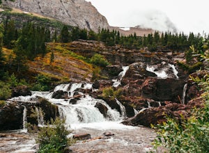
Redrock Falls
4.53.73 mi / 100 ft gainThe hike to Redrock Falls begins at the Swiftcurrent Pass Trailhead in the Many Glacier area of Glacier National Park. The trailhead is located at the western end of the Swiftcurrent Motor Inn parking lot. From the trailhead, head straight toward Swiftcurrent Pass and Redrock Falls. At approxi...Read more -
Browning, Montana
Swiftcurrent Lookout
16.68 mi / 4491 ft gainTake this beautiful hike up Swiftcurrent Mountain to the Fire Lookout (8436 ft). The hike is 7.1 miles one-way from from the Swiftcurrent Inn parking lot trailhead. The elevation gain is 2,307 feet. The First 3 miles or so are a flat hike where you'll pass by several famous lakes and gain only ...Read more -
Browning, Montana
Iceberg Lake
4.99.7 mi / 1200 ft gainThe 9.7-mile out-and-back trail starts in the Many Glacier area of Glacier National Park, near the Swiftcurrent Motor Inn. The trailhead is easy to find at the northwest corner of the Inn area and the trail is well marked the whole way. The trail heads northwest almost the entire time except for ...Read more -
Swiftcurrent, Montana
Glacier's North Circle Route (North East Section)
9.7 miPlanning & Preparations As amazing as this trek is, it's certainly not without its challenges, and the first one you will run into is obtaining a backcountry permit for camping. As it absolutely should, backcountry camping is very regulated. Essentially, you request permits and multiple da...Read more -
Glacier County, Montana
Ptarmigan Falls
5.05.11 mi / 768 ft gain...The hike to Ptarmigan Falls begins next to the cabins near the Swiftcurrent Motor Inn. There’s enough parking for about 10-16 vehicles in the lot next to the trailhead. This is a heavily trafficked area, so extra parking is available in front of the Swiftcurrent Motor Inn. This is where I park...Read more

