Condon, Montana
Looking for the best hiking in Condon? We've got you covered with the top trails, trips, hiking, backpacking, camping and more around Condon. The detailed guides, photos, and reviews are all submitted by the Outbound community.
Top Hiking Spots in and near Condon
-
Condon, Montana
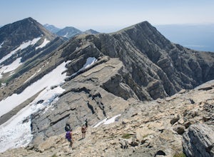
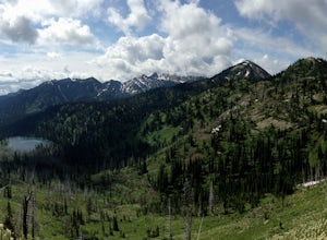
Climb Holland Peak
11 mi / 5200 ft gainAbout 2 mi. south of Condon, MT, take Rumble Creek Road east to Cooney Lookout and park at the trailhead at 4550 ft. Follow the trail for about 1 mi. and after about 100 yards after the third bridge, look for a well worn trail heading up the hill side. Take this steep, hard-packed trail and follo...Read more -
Condon, Montana
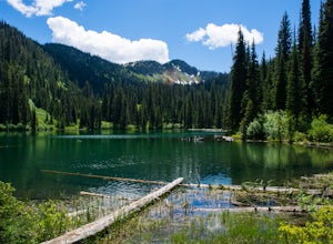
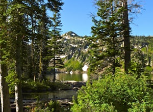
Holland Lake and Falls
5.03.05 mi / 561 ft gainHolland Lake and Falls is an out-and-back trail that takes you by a lake located near Condon, Montana.Read more -
Seeley Lake, Montana
Hike to Crescent Lake
9 mi / 1500 ft gainAn hour drive north of the town of Seeley Lake Montana is the Glacier Lake Trailhead and the starting point for your hike. Glacier Lake Trailhead is a popular trailhead, and the parking lot can fill up quickly on hot summer weekends since it provides access to trails which lead to three different...Read more -
Bigfork, Montana
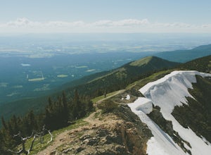
Summit Swan Peak
18.49 mi / 6180 ft gainThis hike is about an hour drive south from Kalispell. Follow MT-83 S for about 47 mi. towards and past Swan Lake. Take a left on NF-554 and follow the road for 1.6 mi. and take a right on Squeezer Creek Rd. and follow the road for 4 mi. to a gated road and park near the gate. Follow the gated ro...Read more -
Condon, Montana
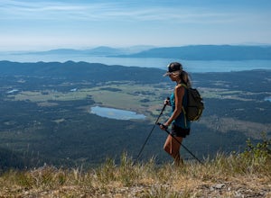
Hike to Morrell Falls
4.02.7 mi / 150 ft gainFrom the town of Seeley Lake, travel 0.5 mile north on Highway 83. Turn east (right) on Morrell Creek Road (small green street sign) which becomes Forest Service Road #477/Cottonwood Lakes Road, and travel 1.1 miles. Turn north (left) on West Morrell Road #4353 and travel about 6 miles. Turn east...Read more -
Flathead National Forest, Montana
Hike Montana's Swan Crest Trail
47 miGetting There: Coming from Seeley Lake, take the road towards Bigfork. Continue until you get to mile marker 27 and turn right into the Morrell/Clearwater turn off. Stay on the road most traveled until you dead end at the trail head roughly 7 miles up the road. Park here. The Trail: The trail ...Read more -
Bigfork, Montana
Hike to Bond Lake
5.011.6 mi / 2300 ft gainFrom Kalispell, head south towards Swan Lake along Highway 83 until a sign for Bond Creek Trailhead is located on the east side oft the road near mile marker 71. Turning onto Forest Service Road #680 and after 1.5 miles, turning on FS Road #9507, the trailhead will be 2.3 miles after the intersec...Read more -
Hungry Horse, Montana
Relax at Spotted Bear Beach
Spotted Bear Beach is a secluded white sand beach in the middle of Montana. To get here from the town of Hungry Horse, drive east on Highway 2 for ½ mile to the East Side Reservoir Road #38. Turn right (south) onto Road #38 and drive on through the town of Martin City. After two miles the pavemen...Read more -
Hungry Horse, Montana
Hike to the Blue Lakes
2 mi / 100 ft gainThe drive out to the trailhead where this hike starts is an adventure in and of itself. As the Forest Service website describes it. "Silvertip Trailhead is accessed from Highway 2. From the town of Hungry Horse, drive east on Highway 2 for ½ mile to the East Side Reservoir Road #38. Turn right (s...Read more -
Dayton, Montana
Kayak to Wild Horse Island
5.0There are many boat ramps to access Flathead Lake, but the closest location to Wild Horse Island is Dayton, MT. Dayton offers easy access with only about a 1-hour paddle to the island for the novice kayakers. Unfortunately, the boat ramp in Dayton does not have room for parking, thus it is only a...Read more -
Bigfork, Montana
Explore Graves Creek Falls
Graves Creek Falls are a series of pleasant waterfalls viewable without much effort. To get here From Hungry Horse drive south on the West Side Road (Forest Road 895) 33.6 miles to the Graves Creek Campground. From here turn right into the campground, park and take a short walk of a couple hundre...Read more -
Bigfork, Montana
Aneas Loop
3.02.77 mi / 207 ft gainAneas Loop is a loop trail where you may see beautiful wildflowers located near Bigfork, Montana.Read more -
Kalispell, Montana
Backpack to Black Lake
7 mi / 1500 ft gainBegin at Camp Misery (elev. 5,717 ft). This is a total misname by the way! It should be titled Camp On The Way To Awesomeness! Anyway, head .6 miles on Trail 8 to the intersection of trail. From here turn right on Trail 68 and hike .7 miles until the intersection where you turn right on Trail 7 f...Read more -
Kalispell, Montana
Backpack to Clayton Lake
9 mi / 1500 ft gainFrom the Camp Misery Trailhead (elev. 5,717 ft) take the left Trail 8 for .6 miles. At the junction continue left for a 1.3 mile gently ascent into Jewel Basin. Nearing Twin Lakes continue left on Trail 7 for .6 miles until you reach Trail 55. Continue right, and make sure that after a short .3 m...Read more -
Kalispell, Montana
Hike to Summit of Mount Aeneas
4.96 mi / 1700 ft gainThis hike can easily be overlooked since it is in such a geographically rich area, with Glacier National Park and the Bob Marshall Wilderness so close, but it is absolutely a hidden gem that doesn't get enough attention. Mount Aeneas sits at just over 7,500 feet and from the summit it gives amazi...Read more -
Kalispell, Montana
Flathead Lookout
5.02.4 mi / 666 ft gainFlathead Lookout is an out-and-back trail that takes you through a nice forest located near Kalispell, Montana.Read more

