Gravois Mills, Missouri
Looking for the best photography in Gravois Mills? We've got you covered with the top trails, trips, hiking, backpacking, camping and more around Gravois Mills. The detailed guides, photos, and reviews are all submitted by the Outbound community.
Top Photography Spots in and near Gravois Mills
-
Kaiser, Missouri
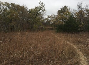
Woodland Trail Loop
3.11 mi / 295 ft gainStarting at 850 feet of elevation, this 3.25 mile loop is a great beginner backpacking trip. The trail is fairly rough so a sturdy pair of hiking boots is a must. The trail splits a quarter mile in; you will need to go right. After another quarter mile you will enter the Patterson Hollow Wild Are...Read more -
Brumley, Missouri
Hike the Trail of Four Winds
3.012 miThe trail is the longest in the park. It's 12 miles long and has a north and south loop. The trail offers the most diversity in the park. The trail has seasonal creeks, ponds, rock outcrops, scenic over looks of the lake and a high possibility of running into wildlife. There are multiple options ...Read more -
Camdenton, Missouri
Hike the Spring Trail
5.01.5 miThis hike starts out on a half mile of paved trail. From here you will climb a ton of steps to the top, which when the leaves are off the tress can offer a pretty good view. The trail connects with a few other trails on the way but is well marked so you will know what way to go. Parts of this tra...Read more -
Camdenton, Missouri
Hike the Boulder Ridge Trail
3 miThe trail is a gravel surface that makes a loop around the long narrow ridge top southwest of the lake parking lot. You will pass the trail on your way to the lake parking lot. The first section of the trail starts right past the sing for the park and boring trail it then heads in a counter clock...Read more -
Westphalia, Missouri
Hike to the Osage River overlook at Painted Rock Conservation Area
1.8 miFrom Westphalia, MO take Highway 63 north, then Highway 133 west 7 miles to the area. The coordinates for the road that will take you to the trailhead are: 38°24'38.8"N 92°05'56.1"W. The trail is a 1.8 mile loop, so you can start either direction. The lands of Painted Rock Conservation Area show...Read more -
Columbia, Missouri
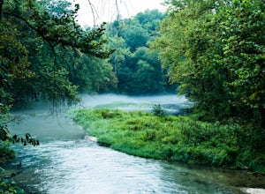
Explore the Devil's Ice Box
3.5Rock Bridge Memorial State Park is located near Columbia, Missouri and has over 2,000 acres to explore. The park is known for its unique rock formations, including the rock bridge, sinkholes, and an underground stream at the Devil's Icebox cave.To reach the Devil's Icebox cave, start at the Devil...Read more -
Boonville, Missouri
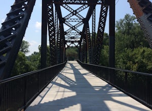
Photograph the MKT Katy Trail Bridge
Whether you are biking along the historic Katy Trail, or driving through Central Missouri on your cross country road trip, you won't want to miss the Katy Trail Bridge. Located on the banks of the Missouri River in downtown Boonville, MO, the restored Katy Trail bridge provides a rare glimpse in...Read more -
Columbia, Missouri
Hike Shooting Star Bluffs
Rock Bridge Memorial State Park is located near Columbia, Missouri and has over 2,000 acres to explore. The Shooting Star Bluffs are roughly a 1/2 of a mile into the Gans Creek Wild Area Trail System. There's a fork in the trail, so stay to the left to see the bluffs. You will see an opening in t...Read more

