Two Harbors, Minnesota
Top Spots in and near Two Harbors
-
Superior, Wisconsin
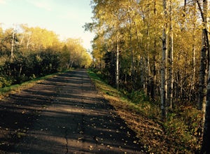
Bike the Osaugie Trail
4.0Biking along Superior Bay, you can experience the beautiful foliage during all of northern Minnesota and Wisconsin's seasons. It's the perfect way to get the Twin Ports experience: harbor views, train tracks, forests of birch trees, glimpses of Lake Superior and beyond.This bike trail is primaril...Read more -
Silver Bay, Minnesota
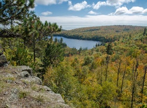
Tettegouche Lake Overlook
5.01.87 mi / 302 ft gainGetting to the parking lot:From Highway 61, turn onto MN-1 and continue for just over 4 miles. Then turn left onto Lax Lake Road. The parking lot will be on your left after about 3 miles. You will see a sign with park maps/information. The Hike:From the parking lot, follow the gravel service roa...Read more -
Duluth, Minnesota
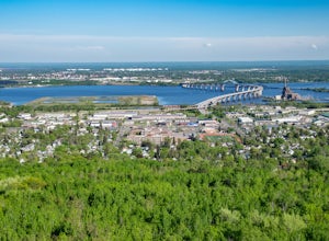
Brewer Park Loop
5.03.45 mi / 472 ft gainBrewer park loop is located in West Duluth just above Skyline Parkway. The hike is a part of the Superior Hiking Trail that also has many mountain biking routes nearby and also intersecting the hiking route. The hike is well marked and easy to follow. From 40th avenue West/Haines Road there's a...Read more -
Cornucopia, Wisconsin
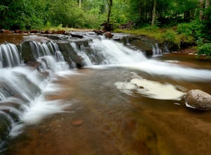
Siskiwit Falls
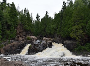
3.00.35 mi / 7 ft gainSiskiwit Falls is located on the Siskiwit River in Cornucopia. There are a few different drops and slides along the river that can be easily explored. To access the falls (from Bayfield), follow Highway 13 to County Rd C, and take a left on Siskiwit Falls Road. There is a bridge shortly after th...Read more -
Silver Bay, Minnesota
Explore Palisade Head
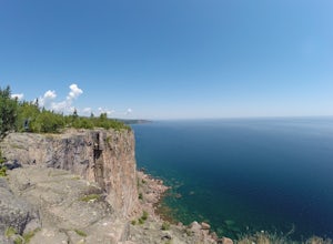
4.7Just an hour north of Duluth, Palisade Head is a go-to spot for artists, rock climbers and sight-seers in Northern Minnesota. The massive rock formation rises 932 feet above the North Shore of Lake Superior. The view from the top is both spectacular and spine-tingling. The cliff edge, which runs ...Read more -
Cornucopia, Wisconsin
Hike to Lost Creek Falls
4.02.5 miThe trailhead has been updated for Lost Creek Falls and can now be found on Trail Drive in Cornucopia. On this well-marked 3-mile trail, there are signs along the trail, new boardwalks, and a larger parking area. This is a very nice trail en route to beautiful falls.Read more -
South Range, Wisconsin
Hike the Island at Amnicon Falls State Park
4.61 miAmnicon Falls State Park, as its name suggests, has a waterfall as its central feature. Amnicon is a small and developed park and the biggest attraction is the covered bridge connecting the main park to a small river island.Do the main loop trail beginning at the covered bridge. You'll be rewarde...Read more -
Bayfield, Wisconsin
Kayak to the Mainland Sea Caves
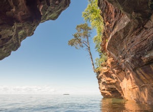
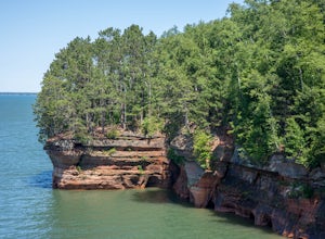
5.0GETTING THERE Start your paddle from Meyer’s Beach just off of Highway 13. There is a $5 fee to park in the lot at Meyer’s Beach. At the parking lot there is an area to unload your gear near the stairs that lead to the lake, down which you will need to carry your boat & gear. The area is usua...Read more -
Silver Bay, Minnesota
Tettegouche State Park Trail
1.69 mi / 318 ft gainTettegouche State Park Trail is an out-and-back trail where you may see beautiful wildflowers located near Silver Bay, Minnesota.Read more -
Bayfield, Wisconsin
Hike the Lake Superior Ice Caves
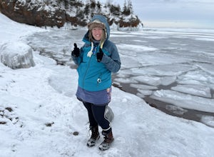
5.01 miBegin at Meyer's Beach in the Apostle Islands National Lakeshore near Cornucopia, WI. There is a parking lot, but get there early in the day to get a spot and make sure to use the bathroom before heading out. There is no opportunity on the ice.Head out onto the frozen lake and follow the shorelin...Read more -
Bayfield, Wisconsin
Meyer's Beach Sea Cave Trail
4.33 mi / 791 ft gainWhile many visitors view the mainland Apostle Island Caves via kayak, this trail provides an alternative view of the caves. The Meyer’s Beach Sea Cave Trail follows 2.3 miles of the Lakeshore Trail, which begins at the Meyer’s Beach parking lot near Cornucopia, Wisconsin. The first 0.7 miles of t...Read more -
Silver Bay, Minnesota
Hike to High Falls and Two Step Falls
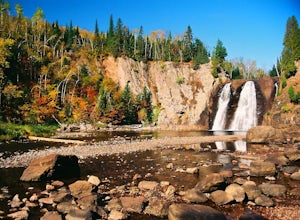
5.01.17 mi / 253 ft gainLocated within Tettegouche State Park, High Falls of the Baptism river is the highest waterfall entirely in Minnesota (High Falls of the Pigeon River is higher, but half of it lies on the Ontario border). The High Falls are one of the major highlights of Tettegouche State Park. Depending on wh...Read more -
Silver Bay, Minnesota
Hike along the Baptism River to Cascade Falls
1.5 miOnce you pull into the Visitor Center Parking Lot, drive down towards the Baptism River and park before crossing the river. The trailhead is just on the other side of the river. The trail follows the river towards the falls with several small trails down to enjoy the river and rapids at differen...Read more -
Silver Bay, Minnesota
Hike to Shovel Point at Tettagouche State Park
5.02 miAn easy hour along the North Shore Scenic Byway from Duluth, Tettagouche State Park is a rugged, 10,000 acre park on Lake Superior. Although the interior of the park offers miles of trails to waterfalls and mountain tops, the best way to see the coast is to take the easy hike to Shovel Point. Beg...Read more -
Silver Bay, Minnesota
Explore Illgen Falls
5.00.5 miAfter you drive past Tettegouche State Park, continue until you reach Highway 1. Turn left and continue on the road for 1.6 miles until you see a small gravel pull-off on the lefthand side of the road. Follow the path that leads to the river (easy to hear the waterfall). The trail will go past a ...Read more -
Silver Bay, Minnesota
Hike to Fantasia Overlook
3 mi / 170 ft gainGetting to the trailhead:From Hwy. 61, turn left onto Hwy. 1 (at milepost 59.3) and travel 0.8 miles to the Superior Hiking Trail (SHT) parking lot on the left side of the road (very easy to miss!). The Hike:Once you get to the parking lot, cross Hwy. 1 and walk up the road to meet the SHT that c...Read more

