The Boundary Waters Canoe Area Wilderness, Minnesota
Looking for the best chillin in The Boundary Waters Canoe Area Wilderness? We've got you covered with the top trails, trips, hiking, backpacking, camping and more around The Boundary Waters Canoe Area Wilderness. The detailed guides, photos, and reviews are all submitted by the Outbound community.
Top Chillin Spots in and near The Boundary Waters Canoe Area Wilderness
-
Ely, Minnesota
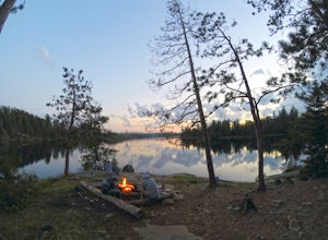
Camp on BWCA's Lake 2
A trip to the Boundary Waters Canoe Area requires some planning ahead. First, you'll need acquire a permit/reservation via recreation.gov . Specify how many people are in your group, the number of watercraft you plan to use and how many days you'll be in the BWCA. You'll also need to select a gro...Read more -
Ely, Minnesota
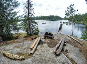
Explore Rifle Lake in the BWCA
The best part of Rifle Lake is how remote it is. There's no quick way to find this small, secluded lake in the Boundary Waters Canoe Area. The lake supports just one campsite and is less than a half-mile long, according to rook.org. It is also part of the Rifle/Bridge Loop, which is a good option...Read more -
Grand Marais, Minnesota
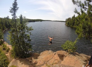
Cliff Jump at Beth Lake in the BWCA
Beth Lake is part of the "Lady Chain" of lakes in the Boundary Waters Canoe Area. It's secluded, serene and worth the trip, especially if you're up for an afternoon of cliff jumping.You can reach Beth Lake in half of a day, assuming you set out in the morning and are efficient with your time. But...Read more -
Grand Marais, Minnesota
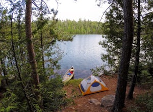
Camp at Alton Lake in the BWCA
5.0A trip to the Boundary Waters Canoe Area requires some planning ahead. First, you'll need to book a permit/reservation via recreation.gov. Specify how many people are in your group, the number of watercraft you plan to use and how many days you'll be in the BWCA. You'll also need to select a grou...Read more -
Grand Marais, Minnesota
Canoe to the Palisades on Seagull Lake in the BWCA
Begin your trip at the Seagull Lake boat launch at Trail's End Campground. The campground, located in Superior National Forest at the very end of the Gunflint Trail, is an hour and half drive from the nearest town of Grand Marais and is a great place to stay the night before. There are no motors ...Read more -
Grand Marais, Minnesota
Camp at Trail's End Campground
5.0Trail's End Campground is located at the very end of the Gunflint Trail, a remote highway that cuts into the heart of the Minnesota Northwoods. Catch the Gunflint Trail in Grand Marais along Highway 61 on the North Shore of Lake Superior. From Grand Marais, you'll wind your way sixty miles along ...Read more -
Grand Marais, Minnesota
Paddle the Boundary Waters' Seagull to Saganaga Loop
29 miFirst, things first - plan your trip well! There are many details that need to go into planning even a short trip into the Boundary Waters. Various websites and companies exist to help you plan and check off all of the boxes prior to your departure date. The bwca.com website is one I found to be ...Read more -
Tofte, Minnesota
Hike Oberg Mountain
4.52.3 mi / 230 ft gainThe hike to the top of Oberg Mountain is short and sweet. The trail starts off with a climb of roughly 230ft in about a half of a mile before getting to the top of Oberg Mountain. At the top of the climb the trail forks, you can go either way since the trail loops around the top. I suggest you go...Read more -
Schroeder, Minnesota
Explore the Temperance River Gorge
5.0Temperance River State Park is located near Schroeder, and parking can be found alongside Highway 61 for easy access to the trail following the riverbed. There are two main falls that shape the gorges -- one just north of the highway and the other below the footbridge that is just south of the hi...Read more -
Silver Bay, Minnesota
Hike to Caribou Falls
5.01 miCaribou Falls is a true hidden gem located along the Superior Hiking trail on Minnesota's North Shore. To access the falls, begin at the Caribou Falls State Wayside rest, off of Highway 61 just north of Little Marais. The trailhead is marked on the Superior Hiking Trail sign in the parking lot. ...Read more -
Finland, Minnesota
Drive Superior National Forest's Fall Color Route
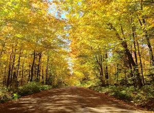
5.0Every Autumn, Superior National Forest in northern Minnesota designates some of it's best roads as official Fall Color Routes. These roads go deep into the forest, far from towns and cell phone reception to show off the best Minnesota has to offer. Peak season is short, only a week or two sometim...Read more -
Finland, Minnesota
Hike to the Superior Hiking Trail's Section 13
4.02 mi / 450 ft gainGetting there:From Duluth, follow Highway 61 until you reach mile marker 65 -- shortly after this you will turn left on Lake County Road 6. Continue for just over 2 miles and the trailhead parking lot will be on your right. There is a sign with mileage to nearby backpacking campsites if you want ...Read more -
Silver Bay, Minnesota
Explore Illgen Falls
5.00.5 miAfter you drive past Tettegouche State Park, continue until you reach Highway 1. Turn left and continue on the road for 1.6 miles until you see a small gravel pull-off on the lefthand side of the road. Follow the path that leads to the river (easy to hear the waterfall). The trail will go past a ...Read more -
Silver Bay, Minnesota
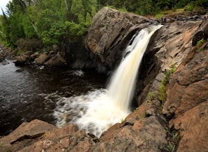
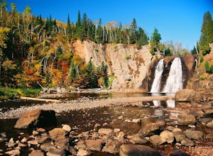
Hike to High Falls and Two Step Falls
5.01.17 mi / 253 ft gainLocated within Tettegouche State Park, High Falls of the Baptism river is the highest waterfall entirely in Minnesota (High Falls of the Pigeon River is higher, but half of it lies on the Ontario border). The High Falls are one of the major highlights of Tettegouche State Park. Depending on wh...Read more -
Grand Marais, Minnesota
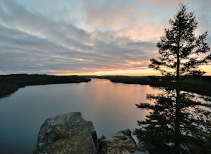
Catch a Sunset at Honeymoon Bluff
5.00.5 mi / 128 ft gainGetting to the trailhead:The trailhead for the Honeymoon Bluff trail is just off of Co 66 (Clearwater Rd) which is 30 miles up the Gunflint Trail. From Grand Marais, turn north on the Gunflint Trail (Co Rd 12) and go about 27 miles until you reach Co 66. Turn right and continue for 3.25 miles to ...Read more -
Silver Bay, Minnesota
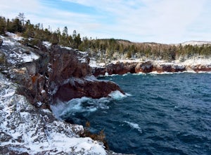
Hike to Shovel Point at Tettagouche State Park
5.02 miAn easy hour along the North Shore Scenic Byway from Duluth, Tettagouche State Park is a rugged, 10,000 acre park on Lake Superior. Although the interior of the park offers miles of trails to waterfalls and mountain tops, the best way to see the coast is to take the easy hike to Shovel Point. Beg...Read more

