Hastings, Minnesota
Top Spots in and near Hastings
-
Bloomington, Minnesota
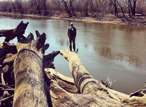
Explore the Minnesota River Bottoms
4.3The "River Bottoms" is an unofficial network of single track, double track and service roads just south of Minneapolis along the Minnesota River flood plane. Flat, fast and easy to navigate, the 11-mile trail system is a popular spot for mountain bikers, trail runners and hikers looking to do lon...Read more -
Minneapolis, Minnesota
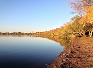
Run the Lake Harriet Loop
5.03 mi / 10 ft gainThis easily accessible loop takes you on a moderate walk around Lake Harriet, a popular recreational site for cyclers, walkers, runners, and families. You can cycle this trail in the clockwise direction, or opt to walk. Be sure to explore the surrounding park and gardens, afterwards!Read more -
Bloomington, Minnesota
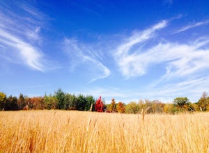
Walk the Prairie Loop at Richardson Nature Center
5.00.8 mi / 70 ft gainBegin your hike behind the Visitor's Center and follow the path to the left towards the Prairie Loop Trail. The path quickly breaks out of the woods into an open prairie, looping through the tall grasses and burr oaks. The pond with its boardwalk is a great place to see Canada Geese, Tundra Swans...Read more -
Arden Hills, Minnesota
Bike the Rice Creek North Regional Trail
3.013.8 miThe Rice Creek North Regional Trail is 13.8 miles in total, but can be broken up into two different sections (connected by a 3.4 mile bike on county roads). The main trailhead is at 35W and County Road I. You will find the parking lot just after exiting on County Road I. This is the southern segm...Read more -
Nerstrand, Minnesota
Hike Nerstrand-Big Woods State Park
3.311 miCurious about what Minnesota looked like in pre-settlement times?Then spend the day hiking through Nerstrand-Big Woods State Park, a botanical reserve for the temperate hardwood forest that once covered much of central Minnesota. Located 45 miles south of Minneapolis, the park offers the opportun...Read more -
Stockholm, Wisconsin
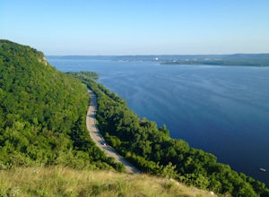
Hike to the Top of Maiden Rock Bluff
5.01 mi / 400 ft gainIt's easy to spot Maiden Rock Bluff as you drive along Highway 35: the 400-foot-tall limestone cliff extends for nearly a mile. Getting to the top is also easy. Begin by turning onto County Road E - a twisting, narrow road that leads straight up. Once you're at the top, keep an eye out for Long L...Read more -
Shakopee, Minnesota
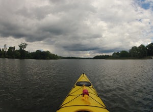
Kayak Lake O'Dowd
This beautiful, calm lake is ideal for those who prefer seclusion out on the water.Start out on the north side of the lake, and kayak or canoe towards the golf course - there are a number of bays to explore, along the way. Then head over to the eastern shore, which offers lots of scenic spots. On...Read more -
Marine on Saint Croix, Minnesota
Riverside Trail Loop
5.02.66 mi / 272 ft gainFrom the Visitor Center Parking lot follow the Riverside Trail along the side of the lot and down the main road. You will go under the bridge and while walking next to the road you can see great views of Lake Alice. When you reach the bottom of the hill, turn right to walk alongside the lake. On ...Read more -
Marine on Saint Croix, Minnesota
Camp at William O'Brien State Park
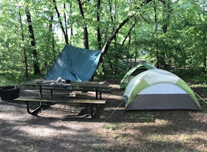
Roughly an hour north of the Minneapolis-Saint Paul Metro, is William O’Brien State Park. Located on the Saint Croix River, this park is a great place for just getting away from the city lights and into nature. The park has two campgrounds, which are the Savanna and Riverway campgrounds. Eac...Read more -
Faribault, Minnesota
Straight River Trail and Alexander Park Trail
0.67 mi / 20 ft gainStraight River Trail and Alexander Park Trail is a loop trail that takes you by a river located near Faribault, Minnesota.Read more -
Osceola, Wisconsin
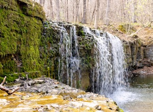
Explore Cascade Falls
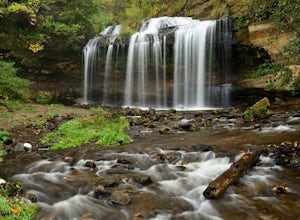
5.0Cascade Falls is a must-stop if you are passing through Osceola, Wisconsin. The falls can be accessed on Cascade Street (Highway 35) near 1st Avenue in downtown Osceola. You will see a sign for the Falls at the deck by Chief Osceola. Continue down the 135 steps that lead from this platform down t...Read more -
Dresser, Wisconsin
Hike the Osceola Bedrock Glades Loop
2.2 mi / 59 ft gainJust a short hike to the waterfall, this is a great spot to pull off on your way to the Park with many other trails to spend a whole day on if you wish to stay off the beaten path. Getting there: Going North through Osceola on HWY 35 Turn left on River Rd (county Rd S) For 1 mile. There is a sm...Read more -
Taylors Falls, Minnesota
Explore Interstate State Park
4.33 miSituated on top of a series of craggy bluffs, Interstate State Park is a small park that offers amazing views of the St. Croix River gorge. With a pine forest ecosystem usually only found a hundred miles north of the park, the lichen encrusted rocks and spring wildflowers offer the Northwoods exp...Read more -
Dresser, Wisconsin
Summit Rock, River Bluff and Echo Canyon Loop
1.29 mi / 269 ft gainSummit Rock, River Bluff and Echo Canyon Loop is a loop trail that takes you by a lake located near Dresser, Wisconsin.Read more -
Rogers, Minnesota
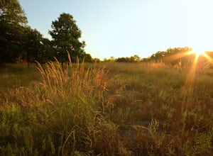
Hike the Crow-Hassan Regional Park Loop
4 mi / 90 ft gainCrow-Hassan Park Reserve is the largest prairie based park in the Twin Cities metro area. Although there are many ways to experience Crow-Hassan including horseback riding, canoeing on the scenic Crow River, or even staying the night in one of the park's campgrounds, the simplest way to enjoy it ...Read more

