Hastings, Minnesota
Looking for the best photography in Hastings? We've got you covered with the top trails, trips, hiking, backpacking, camping and more around Hastings. The detailed guides, photos, and reviews are all submitted by the Outbound community.
Top Photography Spots in and near Hastings
-
Unorganized Territory of Fort Snelling, Minnesota
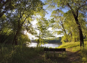
Hike the Pike Island Loop
4.23.88 mi / 66 ft gainThe Pike Island Loop, located in Fort Snelling State Park, is a beautiful urban hike that circles a lush island at the confluence of the Mississippi and Minnesota Rivers in the heart of the Twin Cities. In fact, Dakota leaders who inhabited this land considered the meeting of the rivers to be the...Read more -
Bloomington, Minnesota
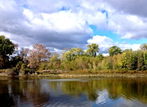
Exploring the Minnesota Valley NWR
4.03.5 miIt is 3.5 miles long one-way from the visitors center (3815 American Blvd. East 55425) to Cedar Ave. Bridge. Whether because of the foreword thinking early Minnesota legislators or simply because of the inhospitality of nature, most of the riverfront on both the Minnesota and Mississippi Rivers t...Read more -
Red Wing, Minnesota
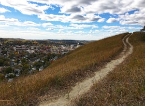
Hike Barn Bluff
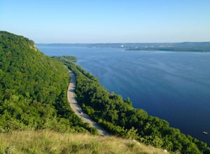
3.02.05 mi / 340 ft gainBarn Bluff in Red Wing, Minn., is an enjoyable and easily-accessible hike. Even at a slow pace, it takes just 30-45 minutes to reach the peak.There is ample parking on 5th Street near the Barn Bluff sign. Take the stairs to the trail head. From there, you'll have a few trail options:1) South Trai...Read more -
Minneapolis, Minnesota
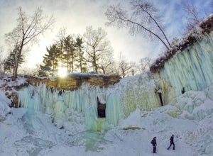
Explore Frozen Minnehaha Falls
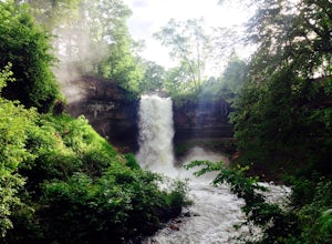
3.8Minnehaha Falls Park in South Minneapolis is a big draw during the spring, summer and fall months. Experiencing an urban waterfall and scenic hiking trails in the middle of a major city is a treat. However, come wintertime, the falls freeze and a spectacular scene emerges. Many people flock to th...Read more -
Minneapolis, Minnesota
Minnehaha Falls
4.10.73 mi / 128 ft gainNamed after a legendary Native American princess, Minnehaha Creek cascades over a cliff in these dramatic falls just minutes from the downtowns of both Minneapolis and St. Paul. A favorite place for summer picnickers, the falls are beautiful all year long. They are strongest in June after the Spr...Read more -
Bloomington, Minnesota
Explore the Minnesota River Bottoms
4.3The "River Bottoms" is an unofficial network of single track, double track and service roads just south of Minneapolis along the Minnesota River flood plane. Flat, fast and easy to navigate, the 11-mile trail system is a popular spot for mountain bikers, trail runners and hikers looking to do lon...Read more -
Bloomington, Minnesota
Walk the Prairie Loop at Richardson Nature Center
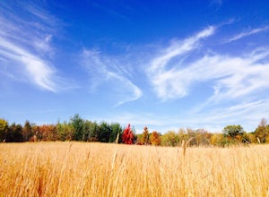
5.00.8 mi / 70 ft gainBegin your hike behind the Visitor's Center and follow the path to the left towards the Prairie Loop Trail. The path quickly breaks out of the woods into an open prairie, looping through the tall grasses and burr oaks. The pond with its boardwalk is a great place to see Canada Geese, Tundra Swans...Read more -
Nerstrand, Minnesota
Hike Nerstrand-Big Woods State Park
3.311 miCurious about what Minnesota looked like in pre-settlement times?Then spend the day hiking through Nerstrand-Big Woods State Park, a botanical reserve for the temperate hardwood forest that once covered much of central Minnesota. Located 45 miles south of Minneapolis, the park offers the opportun...Read more -
Stockholm, Wisconsin
Hike to the Top of Maiden Rock Bluff
5.01 mi / 400 ft gainIt's easy to spot Maiden Rock Bluff as you drive along Highway 35: the 400-foot-tall limestone cliff extends for nearly a mile. Getting to the top is also easy. Begin by turning onto County Road E - a twisting, narrow road that leads straight up. Once you're at the top, keep an eye out for Long L...Read more -
Marine on Saint Croix, Minnesota
Riverside Trail Loop
5.02.66 mi / 272 ft gainFrom the Visitor Center Parking lot follow the Riverside Trail along the side of the lot and down the main road. You will go under the bridge and while walking next to the road you can see great views of Lake Alice. When you reach the bottom of the hill, turn right to walk alongside the lake. On ...Read more -
Marine on Saint Croix, Minnesota
Camp at William O'Brien State Park
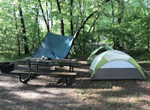
Roughly an hour north of the Minneapolis-Saint Paul Metro, is William O’Brien State Park. Located on the Saint Croix River, this park is a great place for just getting away from the city lights and into nature. The park has two campgrounds, which are the Savanna and Riverway campgrounds. Eac...Read more -
Osceola, Wisconsin
Explore Cascade Falls
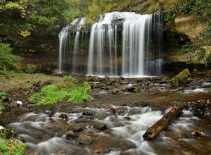
5.0Cascade Falls is a must-stop if you are passing through Osceola, Wisconsin. The falls can be accessed on Cascade Street (Highway 35) near 1st Avenue in downtown Osceola. You will see a sign for the Falls at the deck by Chief Osceola. Continue down the 135 steps that lead from this platform down t...Read more -
Dresser, Wisconsin
Hike the Osceola Bedrock Glades Loop
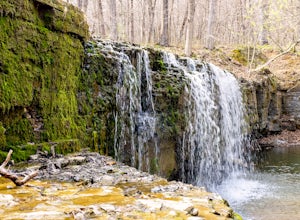
2.2 mi / 59 ft gainJust a short hike to the waterfall, this is a great spot to pull off on your way to the Park with many other trails to spend a whole day on if you wish to stay off the beaten path. Getting there: Going North through Osceola on HWY 35 Turn left on River Rd (county Rd S) For 1 mile. There is a sm...Read more -
Taylors Falls, Minnesota
Explore Interstate State Park
4.33 miSituated on top of a series of craggy bluffs, Interstate State Park is a small park that offers amazing views of the St. Croix River gorge. With a pine forest ecosystem usually only found a hundred miles north of the park, the lichen encrusted rocks and spring wildflowers offer the Northwoods exp...Read more

