Michigan
Top Spots in and near Michigan
-
Empire, Michigan
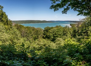
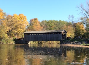
Drive the Pierce Stocking Scenic Drive
5.0A seven mile drive that offers views that are unbelievable. There are twelve stops along the way that correspond with an interpretive guide that is found at the beginning of the drive. The drive takes you through multiple landscapes. The points of interest are as follows:1. Covered Bridge2. Glen...Read more -
Ironwood, Michigan
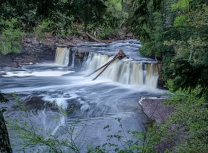
Hike the Presque Isle River Waterfall Loop
5.02.3 miThis hike combines the East and West River Trails for a scenic hike along the Presque Isle River, which runs through the Porcupine Mountains State Park. The river has strong currents and sections of rapids, as well as three main waterfalls, Nawadaha Falls, Manido Falls, and Manabezho Falls, which...Read more -
Marquette, Michigan
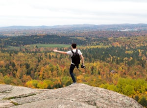
Hike Hogback Mountain
5.02 mi / 600 ft gainThe trailhead for Hogback Mountain sits 5 miles North of Marquette, Mi on County Road 550. About 1/2 mile past the Sugarloaf Mtn parking lot, the unmarked road is on the left side if going north bound -- the parking area is for Wetmore Pond.The trail begins with an easy half mile hike through a w...Read more -
Ann Arbor, Michigan
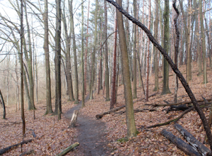
Hike Bird Hills Nature Area
10 mi / 200 ft gainHaving lived in Michigan and the greater Detroit area for only one year, I'm still constantly looking for the next place to take my mind off the day-to-day work grind. Michigan, the Great Lake State, is certainly not a bad place to be to do so. Roughly one hour outside of Detroit rests Bird Hills...Read more -
Belding, Michigan
Paddle the Flat River
4.012.5 miThis adventure starts as any kayaking trip does: the great car-kayak shuffle. I’ll leave that planning to your group size, but I recommend a 2 car minimum, one left at the take out spot (Fallasburg Park or downtown Lowell behind the KDL Library) and the other parked at Whites Bridge Road. If yo...Read more -
Glen Arbor, Michigan
Hike the Sleeping Bear Point Trail
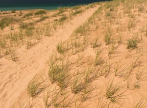
5.02.8 miThe Sleeping Bear Point Trail is a 2.8 mile loop through the sand dunes with amazing views of Lake Michigan and South Manitou Island. There is a 0.5 mile spur hike from the trailhead to the Lake Michigan beach. It is less strenuous than the hike from the Dune Climb to Lake Michigan.Read more -
Bruce Crossing, Michigan
Explore Bond Falls
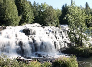
4.00 miVery short hiking trail (walk) along the river to view the falls from various parking lots. There is a boardwalk with viewing platforms from the lower parking area or a gravel path from the roadside parking area that lead to stairs down to the board walk. Along the boardwalk there are multiple pl...Read more -
Pelkie, Michigan
Hike to Sturgeon Falls
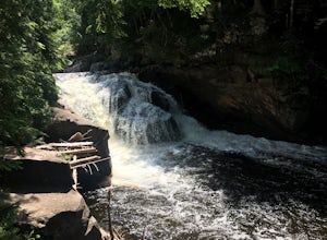
4.01.5 miThe Sturgeon River Gorge Wilderness is a remote and scenic section of the Ottawa National Forest. This trail descends steeply into Sturgeon Gorge to reach the falls – prepare to tackle the same elevation on your way out! There is also camping near the falls.Read more -
Oscoda Township, Michigan
Hike Lumberman’s Monument
5.05.6 miLumberman’s Monument is truly a hidden gem. Most people don’t realize there are towering sand dunes in the Oscoda area. While the majority of visitors stay at the overlook, there is a breathtaking trail for the more adventurous. The main parking for this trail is at the Lumberman’s Monument parki...Read more -
Mears, Michigan
Hike Silver Lake State Park Loop
7 miThis is a challenging 7 mile loop that rewards hikers with some of the best sights in Lower Michigan. The trailhead begins at the Silver Lake State Park Pedestrian Dune Access. Your difficult hike starts with a steep flight of steps from the parking lot. After the steps, keep climbing until you r...Read more -
Houghton, Michigan
Backpack to Moskey Basin
5.024 mi / 1200 ft gainWhile it is only accessible by boat or plane, Isle Royale National Park is well worth the added travel arrangements. We took the Ranger III Ferry out of Houghton, MI, but there are a few other options depending on where you depart from (www.nps.gov). Upon arrival at Rock Harbor, the first day is ...Read more -
Norton Shores, Michigan
Climb Mt. Baldy Dune
1.5 miThe trailhead begins at the Gilette Visitor Center inside PJ Hoffmaster Park. Behind the visitor center, you will see the gigantic sand dune which you will be climbing. Unfortunately, the park rangers do not want you climbing this dune's backside from the parking lot. Instead, get on the foreste...Read more -
Free Soil, Michigan
Hike Island Trail
4 miStart at the Hamlin Beach House and make your way down the dirt path until you hit marker #12. Take a right and the trail will become a boardwalk for roughly 3/4 of a mile until you hit marker #10. Continue on from there for another 3/4 of a mile until you hit the trail shelter where you can rela...Read more -
Mackinaw City, Michigan
Photograph the Mackinac Bridge
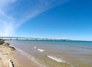
5.0The upper peninsula of Michigan is connected to the mainland by the Mackinac Bridge. This bridge is quite impressive from a distance and it makes a great object for photography at any time of the day. If you want to get up close to the bridge, try visiting one of the parks located on the north or...Read more -
Marquette, Michigan
Rum Runner's Cove
0.5 mi / 50 ft gainDrive to the Wetmore Landing Parking Lot, right off County Road 550 North of Marquette. Park then walk out to the beach- there's 2 routes you can take. The North Country Trail runs East to West along the coast here, you can hop on that and go right from the parking lot (East) and follow the tra...Read more -
Empire, Michigan
Hike to Big Glen Lookout
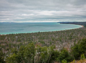
5.04.4 miStart at the Alligator Hill trail head and make your way up the hill for roughly .1 of a mile until you hit a marker. Turn left at the sign and keep on the trail for another 1.3 miles. You will hit a scenic lookout called Islands Lookout which you can stop and get pictures at. From there you will...Read more

