Marenisco, Michigan
Looking for the best hiking in Marenisco? We've got you covered with the top trails, trips, hiking, backpacking, camping and more around Marenisco. The detailed guides, photos, and reviews are all submitted by the Outbound community.
Top Hiking Spots in and near Marenisco
-
Trout Creek, Michigan
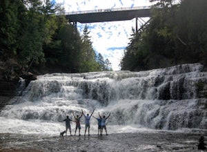
Hike to the Base of Agate Falls
1 mi / -200 ft gainOutside of Agate, MI, this spot is a couple of miles west of the town on MI-28. With parking on the side of the road, follow the main path under the bridge to reach the wooden walkway to the overlook. If you'd like to see the falls from above, before the walkway, there is a path up the hill that ...Read more -
Bruce Crossing, Michigan
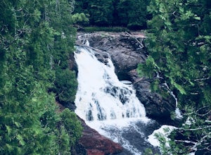
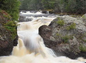
Hike to O Kun de Kun Falls
2.6 mi / -100 ft gainLocated roughly 8 miles north of Bruce Crossing on Highway 45, the O Kun de Kun Trailhead is a small turnoff located on the right side of the highway. The trailhead offers limited parking, but the trail is rarely busy. At the beginning the trail, hikers can see the blue blazes of the North Countr...Read more -
Saxon, Wisconsin
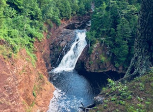
Hike to Saxon Falls
0.5 miAn unusual hike to see the falls, Saxon Falls sits next to a flowage station. On foot, follow the short, wooded hiking trail to the east of the parking area, which leads to the overlook location. For better viewing, continue down the path. The falls sports one of the deepest gorges in the region....Read more -
Ironwood, Michigan
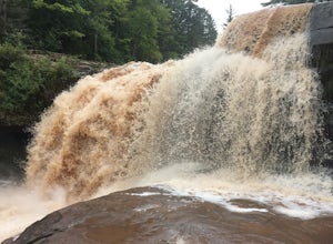
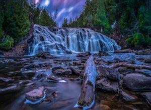
Hike to Superior Falls
4.00.5 mi / -100 ft gainSuperior Falls sits right next to the Superior River, near the northern terminus of the Montreal River. The parking area for the falls is rather large, and there are porta-potties directly next to the parking area. To see the lower region of the falls, you can hike down to the base of the river,...Read more -
Minocqua, Wisconsin
Bearskin Trail
5.020.06 mi / 459 ft gainBearskin Trail is a point-to-point trail where you may see beautiful wildflowers located near Minocqua, Wisconsin.Read more -
Woodruff, Wisconsin
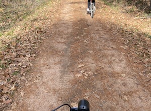
Hike or Bike the NHAL Raven Trails
5.0The Raven Trails are located adjacent to Clear Lake Campground in the Northern Highland American Legion State Forest. Start at the Woodruff Road entrance for access to some of Wisconsin northwood's best Mountain biking trails as well as 4 looped hiking trails. The 1.2mi Nature Yellow Trail is gre...Read more -
Saxon, Wisconsin
Lower Potato Falls
3.60.48 mi / 207 ft gainComing into the park off Hwy 169 in Gurney, WI, you will turn West onto Falls Rd. It is a gravel road that ends at a circular parking lot, complete with a pit toilet, picnic area, viewing areas, and trailheads. Starting at the trailhead labeled "Lower Potato Falls", you will descend a couple hun...Read more -
Saxon, Wisconsin
Upper Potato Falls
0.28 mi / 85 ft gainYou will turn off of Hwy 169 onto a gravel road, follow the road all the way to the end for the trail head. Please drive respectfully as people live on this road. Once you park, you will see multiple trails down to the river. Find the sign for Upper Falls and head that way. After .3 miles you wil...Read more -
Mellen, Wisconsin
Hike to Copper Falls
4.62 mi / 85 ft gainComing into the park on Hwy 169, you will turn west/northwest into the park entrance. After passing the Ranger's Station you will follow the road (passing camp areas and showers along the way) all the way to the main parking lot near a concessions building. *The handicap parking lot is a little f...Read more -
Mellen, Wisconsin
Hike to Red Granite Falls
2.5 mi / 100 ft gainStarting at the parking lot for Loon Lake, follow the signs for Red Granite Falls across a grassed yard and into the woods. The trail is a wide, well-maintained gravel trail that creates a figure-eight loop as it crosses itself twice. Halfway along the trail (regardless of which loop direction yo...Read more

