Wellesley, Massachusetts
Looking for the best photography in Wellesley? We've got you covered with the top trails, trips, hiking, backpacking, camping and more around Wellesley. The detailed guides, photos, and reviews are all submitted by the Outbound community.
Top Photography Spots in and near Wellesley
-
Boston, Massachusetts
Run the Jamaica Pond and Victorian Jamaica Plain Loop
5.01.5 mi / 95 ft gainPark in the Jamaica Pond parking area. You can go either direction on this loop trail, which is highly trafficked and dog-friendly. Keep a lookout for (and a respectful distance from) the wildlife that live here. The loop around Jamaica Pond itself is 1.5 miles. The best part about running in thi...Read more -
Boston, Massachusetts
Freedom Trail
4.72.9 mi / 121 ft gainPark along the trail and then hop on. The Freedom Trail allows you to not only see the most beautiful parts of Boston (which is an absolutely gorgeous city) but you can learn some history too! Head off the trail a bit to explore the Charles River, the waterfront near the aquarium and picturesque ...Read more -
Medford, Massachusetts
Hike Southern Middlesex Fells Loop
4.73.5 mi / 756 ft gainPark in the parking area near Bellevue Pond. There are multiple entrances to the reservation (some closer to the reservoir itself than others). I have spent days in there hiking around and never seeing the water and there are days when I just hiked right in to the water and sat and enjoyed it. Th...Read more -
Quincy, Massachusetts
Hike The Skyline Trail at Blue Hills
4.012.7 mi / 2542 ft gainPark in the lot across from Batterymarch Rd off of Willard St. Access the Skyline trail from here, it is marked blue. Follow the signs. The trails in Blue Hills are perfect for training for backpacking because they are so steep and rocky. I would fill up a big pack and take the skyline trail up t...Read more -
Hull, Massachusetts
Explore the Bunkers at Fort Revere
Fort Revere is an 8-acre (3.2 ha) historic site situated on a small peninsula located in Hull, Massachusetts. It is situated on Telegraph Hill in Hull Village and contains the remains of two seacoast fortifications, one from the American Revolution and one that served 1898-1947. There are also a ...Read more -
Bolton, Massachusetts
Take a Stroll at Fyfeshire Conservation Area
1.0Fyfeshire is located in Bolton Massachusetts off "Wattaquadock Hill Road", near the "Fotini's Restaurant and Bar". The trailhead begins at a small parking area with a stone gate that says Fyfeshire Conservation area on a wood plank. Once you are in the conservation area you will see an opening in...Read more -
Clinton, Massachusetts
Watch a Sunset at Wachusett Reservoir
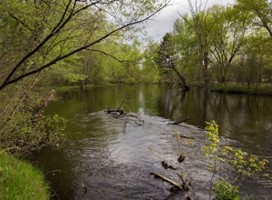
4.5Wachusett Reservoir is located in central Massachusetts, northeast of Worcester. Easy location and parking, you can go anytime of the day and you won't be disappointed. The Reservoir is the second largest body of water in the State of Massachusetts, taking place in 5 cities around the area, West ...Read more -
Harvard, Massachusetts
Hike along the Nashua River and the Oxbow National Wildlife Refuge
9.5 mi / 0 ft gainPark in the lot on Tank Road to access the Nashua River Trail. Keep your eyes peeled for turtles, chipmunks, birds, and other wildlife! This trail is open from April to October. The trail can become flooded and muddy after a rain/ snow, so for a shorter alternative to the 9.5 miles, you can take...Read more -
Blackstone, Massachusetts
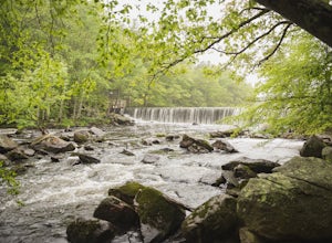
Hike the Blackstone Gorge Trail
5.00.7 mi / 72 ft gainPark at the lot at the corner of Staples Lane and County Street. From here you can access the Blackstone Gorge Trail. Dogs are allowed on leash, and you can enjoy various paths along the river or through the forest. At multiple points you can find yourself looking down at the Blackstone River fro...Read more -
Sutton, Massachusetts
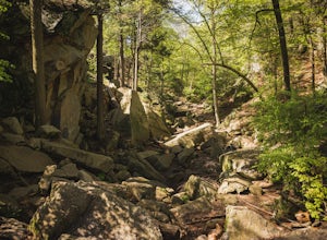
Hike the Purgatory Chasm Trail
4.71 mi / 115 ft gainFor this 1-mile hike, you can park at the Purgatory Chasm Visitor Center. From there hit the trail and explore the unusual gap between the tall granite walls, which might be adorned with climbers. Great for all ages and dogs are welcome too. The trail is open March-November.Read more -
Groton, Massachusetts
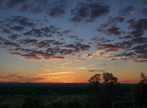
Catch a Sunset at Gilbert Hill
5.01 miFrom Rt. I-495 Exit 31, Gibbert Hill has one of the greatest sunsets around Groton, MA area. You will see a lot of cows and even a castle. This is a very easy hike and a not so easy place to park, you have to leave you car on the side of the road, which is totally fine, I guess, it is easy.The wa...Read more -
North Smithfield, Rhode Island
Hike the Fort Wildlife Refuge
1 miThe parking area is about 50 yards down the dirt driveway on your right. Take care in the spring, as the parking lot can become a mud pit! This wildlife refuge is a series of loops which lead to three different ponds. These directions are for the 'Pond One' loop. When you start on the trail, sta...Read more -
Norwell, Massachusetts
Hike the Norris Reservation Loop
2.4 mi / 60 ft gainChoose from multiple trails in Norris that offer beautiful views of the the North river and marshland. Great spot to do some trail running through the woods and see the river too. There is also a pond a short distance from the parking lot that offers a great fishing spot with a picnic table nearb...Read more -
Douglas, Massachusetts
Hike the Coffeehouse Loop, Douglas State Forest
3.02.2 mi / 500 ft gainDouglas State Forest is located off of Rte 16 in south central Massachusetts. To access trails and the lake, head to the parking area on Wallum Lake Park Road. From the parking lot, you can access the Coffeehouse Loop Trail, as well as a few other shorter trails by the lake. The Coffeehouse Loop ...Read more -
Westminster, Massachusetts
Summit Mt. Wachusett via the West Side Trail
5.01.2 mi / 750 ft gainSet your GPS to Wachusett Mountain ski area. Coming from Rt. 2 turn onto Mile Hill Rd and look for your first right to take Bolton Rd. Take this road all the way until it intersects with West Princeton Rd. Turn left. and drive down W Princeton Rd for 1.2 miles and there should be a small parkin...Read more -
Ipswich, Massachusetts
Photograph Castle Hill
4.0Castle Hill refers to either a 165-acre drumlin surrounded by sea and salt marsh or to the mansion that sits on the hill. Both are part of the 2,100-acre Crane Estate located on Argilla Road in Ipswich, Massachusetts.Take a walk through the public garden or down to the beach. Plenty of beautiful ...Read more

