Barnstable, Massachusetts
Looking for the best hiking in Barnstable? We've got you covered with the top trails, trips, hiking, backpacking, camping and more around Barnstable. The detailed guides, photos, and reviews are all submitted by the Outbound community.
Top Hiking Spots in and near Barnstable
-
Harwich, Massachusetts
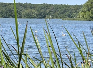
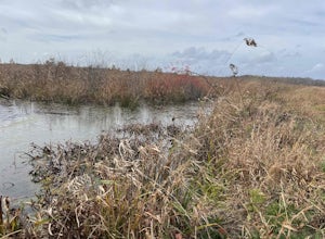
West Reservoir
5.02.65 mi / 59 ft gainWest Reservoir is a loop trail that takes you by a lake located near Harwich, Massachusetts.Read more -
Truro, Massachusetts
Hike the Pamet Area Trail
1.9 miPamet Area Trail is in Truro, towards the ocean within the Cape Cod National Seashore. As we were driving to the parking area it felt like it was wrong, as it often does. There was a dead end and school signs, which are for the N.E.E.D. Academy (apparently also doubles as a hostel during the su...Read more -
Provincetown, Massachusetts
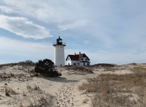
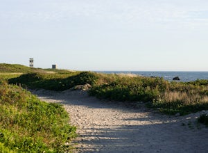
Explore Hatches Harbor and Race Point
5.03.3 miHatches Harbor & Race Point Lighthouse trail is not super long or difficult. Pretty straight forward, at least up to Hatches Harbor. There is a small parking lot that fits about six cars off Province Lands Rd. I think we had a good amount of rain leading up to that day and the trail reflect...Read more -
Edgartown, Massachusetts
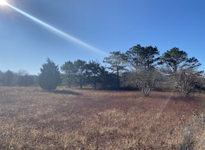
Hike Huckleberry Barrens Trail
0.5 miThe Huckleberry Barrens property is a 17 acre expanse of land in Katama, MA managed by the Sheriff's Meadow Foundation. Though the property is quite vast, the trail loop is only approximately 0.5 miles. Quite conveniently, If you're looking to extend your walk, run or bike, there is an opening ha...Read more -
Provincetown, Massachusetts
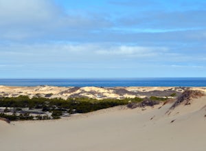
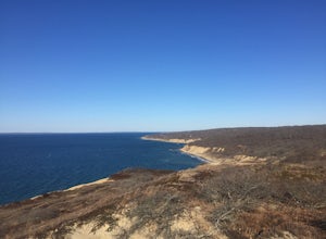
Hike Provincetown Dunes on the Cape Cod National Seashore
4.82.8 mi / 287 ft gainBegin your journey from a small parking area that holds 3 cars just off route 6 (additionally you can park on the side of the road) The trail head is unmarked until about 50' into the woods where you will find a sign describing the rich history of the area. Continue up the large sand dune immedia...Read more -
Chilmark, Massachusetts
Menemsha Hills Reservation Loop
5.02.98 mi / 344 ft gainGPS service in densely wooded areas on the Vineyard is hard to come by, so plugging in Menemsha Hills Reservation before getting on the road is advised. Traveling down N Road, you'll find an unmarked gravel road located between Turtle Cove and Trustees Lane. A short 400 meter drive will take you ...Read more -
Dartmouth, Massachusetts
Hike Frank Knowles–Little River Reserve Trail
4.64 mi / 295 ft gainFrank Knowles-Little River Reserve contains nearly 9 miles of hiking trails to explore. Start off by parking in the white sea shell parking lot. From there you will find the trail marked by a DNRT sign . My group and I walked along the red/boardwalk trail which features a number of boardwalks lea...Read more -
Hanson, Massachusetts
Burrage Pond Indian Trail
5.03.39 mi / 194 ft gainBurrage Pond Indian Trail is an out-and-back trail where you may see beautiful wildflowers located near Hanson, Massachusetts.Read more -
Norwell, Massachusetts
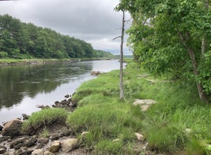
Hike the Norris Reservation Loop
2.4 mi / 60 ft gainChoose from multiple trails in Norris that offer beautiful views of the the North river and marshland. Great spot to do some trail running through the woods and see the river too. There is also a pond a short distance from the parking lot that offers a great fishing spot with a picnic table nearb...Read more -
Westport, Massachusetts
Hike Gooseberry Island
1.5 mi / 36 ft gainBegin an hour before sunset at the intersection between West Beach and East Beach Road. The intersecting roads will lead you to a paved causeway over the ocean. Waves typically clash on either side of you as you drive over the ocean. There is a free parking lot once you reach the opening. To reac...Read more

