Lovell, Maine
Top Spots in and near Lovell
-
Franconia, New Hampshire
Lonesome Lake
4.53.05 mi / 1027 ft gainThe Franconia Notch area of New Hampshire has many roadside adventures to go on, bringing in thousands of visitors every year, but my favorite place in the notch is Lonesome Lake. At 3 miles, the hike is easy enough for the whole family, but most people visiting the notch stick to the roadside a...Read more -
Franconia, New Hampshire
Camp at Lafayette Campground, White Mountains
5.08.3 miThe White Mountains offer some of the most prime foliage sightseeing (aka 'leaf peeping') in New England. Tourists flock to the Franconia Notch State Park area and surrounding parts of the White Mountains every October, but camping is generally less common. October can be a cold month in New Hamp...Read more -
Franconia, New Hampshire
Winter Hike North Kinsman
8 mi / 2500 ft gainPark at Lafayette Place right off of I-93. It is one of the most accessible trail heads to hit a “4,000 footer” in the White Mountains and has plenty parking. Signage is visible and easy to follow as you begin at 1,800 feet and walk through a wooded campground onto the Lonesome Lake Trail. The t...Read more -
Franconia Notch State Park, New Hampshire
Backpack the Pemi Loop
5.032 mi / 9000 ft gainThis round trip loop is the combination of many trails within the Pemigewasset Wilderness. We chose to this hike up into a 3 day backpacking trip although we came across some particularly adventurous folks who were doing it in 2 and even 1 day. We also came across hikers less pressed for time who...Read more -
Franconia, New Hampshire
Hike to the Summit of Cannon Mountain via Kinsman Ridge trail
5.04 mi / 3000 ft gainDriving north on I-93 in New Hampshire, Cannon Mountain can be seen on the left just a few miles after exit 32. It is a massive cliff that towers over the highway, thousands-of-feet tall. Parking for the trail head is left off of exit 34B. If you look left as you're driving into the paved parking...Read more -
Franconia, New Hampshire
Hike Artists Bluff
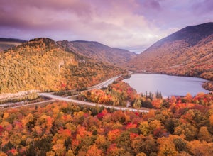
4.31.5 miStarting from the Bald Mountain trailhead, the Artists Bluff trail takes you up a short but steep 1.5 mile path to a beautiful rocky overlook of Franconia Notch State Park. This is the perfect hike to find incredible views of the park and some amazing foliage in autumn. We parked across the stree...Read more -
Byron, Maine
Swim in Coos Canyon
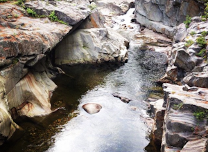
5.0Coos Canyon is right off of route 17 in Byron, ME. It's almost impossible to miss but if you're worried about it you can type "coos canyon" or "coos canyon rock and gift" into google maps and it will take you right there. There is a gravel parking lot to the right side of the road (heading north)...Read more -
Freeport, Maine
Sport Clays in Freeport
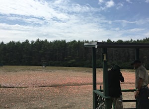
Try shooting a gun with L.L. Bean's Discovery Sporting Clay course. You can book courses in the morning or afternoon and will meet at a specified location (the range) where you will meet with the guide and other participants. You will be introduced to the sport of shooting a gun at artificial tar...Read more -
Portland, Maine
Hike to Jewell Falls
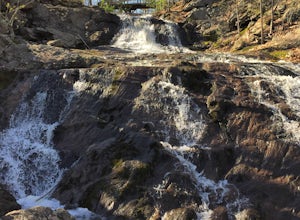
4.02 mi / 300 ft gainFore River Sanctuary is 85 acres in the heart of Portland right off of Congress Street. It is a unique place where the river meets the ocean and creates a marshland landscape, which provides a plethora of opportunities to see wildlife (especially a great diversity of birds - waterfowl, herons, eg...Read more -
Andover, Maine
Fly Fish Lower Dam at Rapid River, Maine
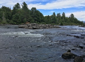
Getting to Rapid River can be a bit of a trek, as the 10 or so miles leading to it is a maze of logging roads and the cell service is spotty at best. Here is a rundown of the route:Driving Northeast on Rt 26, take a sharp right onto Andover RD (East B Hill Road)After 2.1 miles, turn left onto Bro...Read more -
Dayton, Maine
Cross Country Ski the Trails at Harris Farm
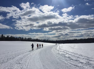
Harris Farm is a great place for beginner cross country skiing or to hone in on already developed skills. They provide rentals ($15pp) and the network of trails is several miles long. The trails range from green (easy) to red/black (more difficult). I personally love hanging out on the blue trail...Read more -
Sugar Hill, New Hampshire
Photograph Lupines in Sugar Hill
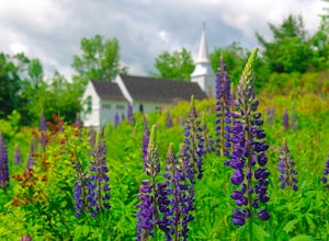
Every year, more or less around the second week of June, the village of Sugar Hill boasts a magnificent show of lupines. There are several concentrations of lupines in fields along the road, but the highlight of a visit to Sugar Hill is the small hillside near St. Matthew's Church. The vistas tow...Read more -
Gilford, New Hampshire
Hike the Lockes Hill Trail
4.01.8 mi / 419 ft gainThis trail, beginning at a parking lot adjacent to the lake, leads to one of the best views of Lake Winnipesaukee. Although not very high in elevation, it is one of the tallest crests in the area, providing some of the best views, and the actual hike is not challenging in most conditions. Due to ...Read more -
Portland, Maine
Kayak Casco Bay
4 miThis kayaking adventure begins at East End Beach at the Eastern Promenade in Portland. There is an easy boat launch zone if you have your own sea kayaks, but if you need to rent, Portland Paddle is right at the launch zone! It is $45 for 2 hours with a tandem sea kayak, which is what we opted for...Read more -
Benton, New Hampshire
Hike Mount Moosilauke via Beaver Brook Trail
7.6 mi / 3150 ft gainThe trailhead is located along Lost River Road. There is a $5.00 day use parking pass required. The trail starts off on the Beaver Brook Trail (also the Appalachian Trail). The trail consists of cascades of rocks, wood-block steps and metal rungs (not all entirely in tact). It is very often ...Read more -
Weld, Maine
Hike Tumbledown Mountain
5.6 mi / 2300 ft gainTo keep the hike as short as possible, the hike can be an out and back at 5.6 miles, but if you wanted to make it a loop that is possible and adds only an additional 2 miles or so. We took the Brook Trail up to the summit (which passes by the alpine lake) and then followed it back down. To hike t...Read more

